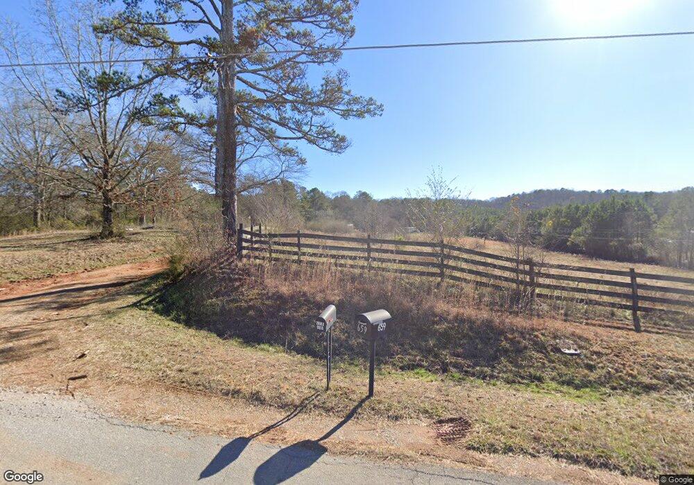
659 Grogan Rd Buchanan, GA 30113
Estimated Value: $151,000 - $260,000
2
Beds
2
Baths
960
Sq Ft
$214/Sq Ft
Est. Value
About This Home
This home is located at 659 Grogan Rd, Buchanan, GA 30113 and is currently estimated at $205,500, approximately $214 per square foot. 659 Grogan Rd is a home.
Ownership History
Date
Name
Owned For
Owner Type
Purchase Details
Closed on
Jul 7, 2020
Sold by
Lawson Hilda F
Bought by
Lawson Hilda and Cooper Kimberly A
Current Estimated Value
Purchase Details
Closed on
Feb 17, 2009
Sold by
Lorrens Glenda C
Bought by
Lawson Donald G
Purchase Details
Closed on
Feb 9, 2009
Sold by
Lorrens Glenda C
Bought by
Lawson Donald G
Purchase Details
Closed on
Mar 1, 2007
Sold by
Lorrens John H
Bought by
Lorrens Glenda C
Purchase Details
Closed on
Jan 2, 2007
Sold by
Not Provided
Bought by
Lawson Donald G
Purchase Details
Closed on
Feb 15, 1971
Sold by
Carnes Vassie M
Bought by
Lorrens John H
Purchase Details
Closed on
May 24, 1965
Bought by
Carnes Vassie M
Create a Home Valuation Report for This Property
The Home Valuation Report is an in-depth analysis detailing your home's value as well as a comparison with similar homes in the area
Home Values in the Area
Average Home Value in this Area
Purchase History
| Date | Buyer | Sale Price | Title Company |
|---|---|---|---|
| Lawson Hilda | -- | -- | |
| Cooper Dakota L | -- | -- | |
| Lawson Donald G | $75,000 | -- | |
| Lawson Donald G | $75,000 | -- | |
| Lorrens Glenda C | -- | -- | |
| Lawson Donald G | -- | -- | |
| Lorrens John H | -- | -- | |
| Carnes Vassie M | -- | -- |
Source: Public Records
Tax History Compared to Growth
Tax History
| Year | Tax Paid | Tax Assessment Tax Assessment Total Assessment is a certain percentage of the fair market value that is determined by local assessors to be the total taxable value of land and additions on the property. | Land | Improvement |
|---|---|---|---|---|
| 2024 | $401 | $19,166 | $15,061 | $4,105 |
| 2023 | $404 | $3,698 | $0 | $3,698 |
| 2022 | $336 | $14,146 | $10,041 | $4,105 |
| 2021 | $340 | $14,146 | $10,041 | $4,105 |
| 2020 | $352 | $4,128 | $0 | $4,128 |
| 2019 | $456 | $4,128 | $0 | $4,128 |
Source: Public Records
Map
Nearby Homes
- 525 Grogan Rd
- 487 Grogan Rd
- 0 Mckibben Rd Unit 7665027
- 0 Mckibben Rd Unit 210
- 0 Mckibben Rd Unit 10623982
- 75 Youngs Station Rd
- 4267 Buchanan Hwy
- 4550 Buchanan Hwy
- 7474 Highway 27
- 765 Addison Rd
- 0 Buchanan Hwy Unit 10558945
- 0 Youngs Farm Rd Unit 24829378
- 102 acres Youngs Farm Rd
- 1719 Tallapoosa Hwy
- 1870 Tallapoosa Hwy
- 258 Rainey Lake Rd
- 45 York Cir
- 0 Carnes Rd Unit 147233
- 1585 Golden Pond Pass
- 0 Culp Lake Rd Unit 25460774