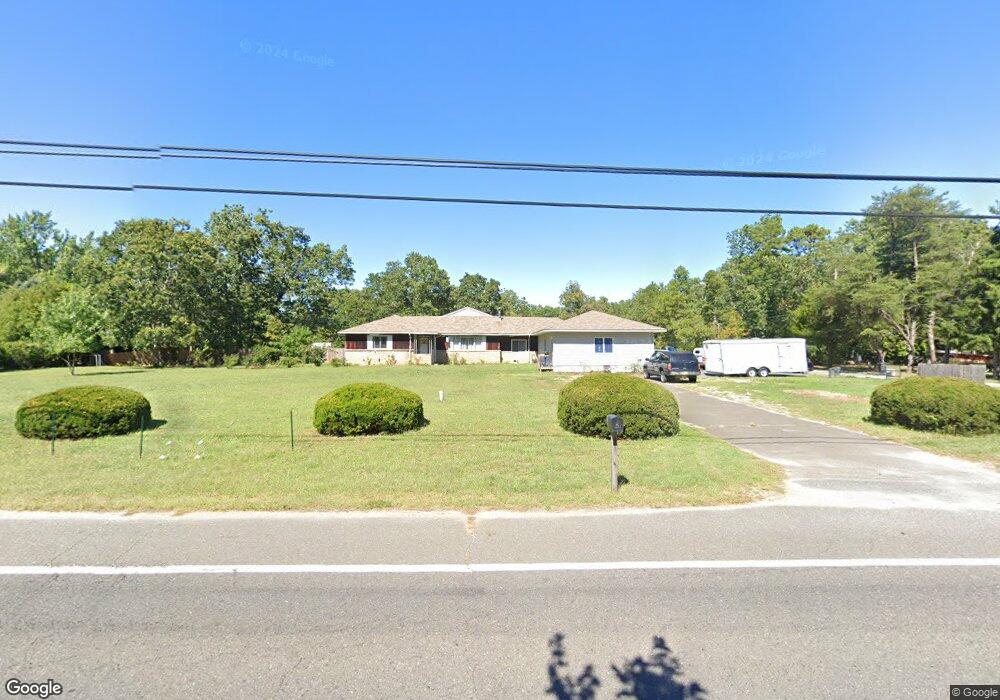
659 Lakehurst Rd Browns Mills, NJ 08015
Estimated Value: $364,000 - $434,000
--
Bed
--
Bath
2,184
Sq Ft
$183/Sq Ft
Est. Value
About This Home
This home is located at 659 Lakehurst Rd, Browns Mills, NJ 08015 and is currently estimated at $399,856, approximately $183 per square foot. 659 Lakehurst Rd is a home located in Burlington County.
Ownership History
Date
Name
Owned For
Owner Type
Purchase Details
Closed on
Dec 13, 2022
Sold by
Brown Joe L and Brown Susan M
Bought by
Brown Joe L
Current Estimated Value
Purchase Details
Closed on
Aug 19, 2004
Sold by
Brown Fred O and Brown Edna L
Bought by
Brown Joseph L
Home Financials for this Owner
Home Financials are based on the most recent Mortgage that was taken out on this home.
Original Mortgage
$187,026
Interest Rate
6.02%
Mortgage Type
VA
Purchase Details
Closed on
Nov 17, 1994
Sold by
Wescott Yoshiko M
Bought by
Bates Michael D and Bates Ann Marie
Create a Home Valuation Report for This Property
The Home Valuation Report is an in-depth analysis detailing your home's value as well as a comparison with similar homes in the area
Home Values in the Area
Average Home Value in this Area
Purchase History
| Date | Buyer | Sale Price | Title Company |
|---|---|---|---|
| Brown Joe L | -- | -- | |
| Brown Joseph L | $183,000 | -- | |
| Bates Michael D | $118,000 | Congress Title Division |
Source: Public Records
Mortgage History
| Date | Status | Borrower | Loan Amount |
|---|---|---|---|
| Previous Owner | Brown Joseph L | $187,026 |
Source: Public Records
Tax History Compared to Growth
Tax History
| Year | Tax Paid | Tax Assessment Tax Assessment Total Assessment is a certain percentage of the fair market value that is determined by local assessors to be the total taxable value of land and additions on the property. | Land | Improvement |
|---|---|---|---|---|
| 2025 | $6,878 | $224,400 | $44,600 | $179,800 |
| 2024 | $6,454 | $224,400 | $44,600 | $179,800 |
| 2023 | $6,454 | $224,400 | $44,600 | $179,800 |
| 2022 | $5,974 | $224,400 | $44,600 | $179,800 |
| 2021 | $5,729 | $224,400 | $44,600 | $179,800 |
| 2020 | $5,514 | $224,400 | $44,600 | $179,800 |
| 2019 | $5,280 | $224,400 | $44,600 | $179,800 |
| 2018 | $5,101 | $224,400 | $44,600 | $179,800 |
| 2017 | $4,995 | $224,400 | $44,600 | $179,800 |
| 2016 | $4,482 | $119,900 | $20,600 | $99,300 |
| 2015 | $4,446 | $119,900 | $20,600 | $99,300 |
| 2014 | $4,250 | $119,900 | $20,600 | $99,300 |
Source: Public Records
Map
Nearby Homes
- 2 Kiowa Trail
- 9 Winnebago Trail
- 22 Maricopa Trail
- 77 Sepulga Dr
- 13 Muskogean Trail
- 406 Cherokee Dr
- 203 Seneca Trail
- 224 Cherokee Dr
- 764 Lakehurst Rd
- 1714 Red Feather Trail
- 0 Margaret St
- 256 Ridge Rd
- 258 Ridge Rd
- 304 Mohawk Trail
- 304 Spring Lake Blvd
- 300 Ridge Rd
- 338 Ridge Rd
- 306 Apache Trail
- 317 Cayuga Trail
- 208 Wichita Trail
- 657 Lakehurst Rd
- 661 Lakehurst Rd
- 663 Lakehurst Rd
- 665 Lakehurst Rd
- 667 Lakehurst Rd
- 20 Robinson Ln
- 669 Lakehurst Rd
- 6 Buffalo Terrace
- 115 Sepulga Dr
- 113 Sepulga Dr
- 109 Sepulga Dr
- 117 Sepulga Dr
- 111 Sepulga Dr
- 671 Lakehurst Rd
- 119 Sepulga Dr
- 119 Sepulga Dr
- 119 Sepulga Dr
- 4 Buffalo Terrace
- 107 Sepulga Dr
- 7 Buffalo Terrace