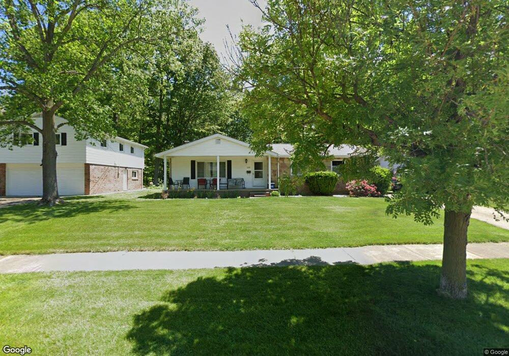
659 Robin Dr Eastlake, OH 44095
Estimated Value: $240,000 - $260,406
3
Beds
2
Baths
1,624
Sq Ft
$155/Sq Ft
Est. Value
About This Home
This home is located at 659 Robin Dr, Eastlake, OH 44095 and is currently estimated at $251,102, approximately $154 per square foot. 659 Robin Dr is a home located in Lake County with nearby schools including Grant Elementary School, Willoughby Middle School, and North High School.
Ownership History
Date
Name
Owned For
Owner Type
Purchase Details
Closed on
Jan 24, 2001
Sold by
Kelsey Mark A
Bought by
Smith Richard C and Smith Jane M
Current Estimated Value
Home Financials for this Owner
Home Financials are based on the most recent Mortgage that was taken out on this home.
Original Mortgage
$126,800
Outstanding Balance
$47,001
Interest Rate
7.43%
Estimated Equity
$204,101
Purchase Details
Closed on
Jul 20, 1989
Bought by
Kelsey Cliffe S
Create a Home Valuation Report for This Property
The Home Valuation Report is an in-depth analysis detailing your home's value as well as a comparison with similar homes in the area
Home Values in the Area
Average Home Value in this Area
Purchase History
| Date | Buyer | Sale Price | Title Company |
|---|---|---|---|
| Smith Richard C | $149,000 | Midland Title Security Inc | |
| Kelsey Cliffe S | -- | -- |
Source: Public Records
Mortgage History
| Date | Status | Borrower | Loan Amount |
|---|---|---|---|
| Open | Smith Richard C | $126,800 |
Source: Public Records
Tax History Compared to Growth
Tax History
| Year | Tax Paid | Tax Assessment Tax Assessment Total Assessment is a certain percentage of the fair market value that is determined by local assessors to be the total taxable value of land and additions on the property. | Land | Improvement |
|---|---|---|---|---|
| 2024 | -- | $79,740 | $14,060 | $65,680 |
| 2023 | $5,772 | $59,730 | $11,170 | $48,560 |
| 2022 | $3,268 | $59,730 | $11,170 | $48,560 |
| 2021 | $3,283 | $59,730 | $11,170 | $48,560 |
| 2020 | $3,130 | $51,940 | $9,710 | $42,230 |
| 2019 | $2,913 | $51,940 | $9,710 | $42,230 |
| 2018 | $2,731 | $45,210 | $12,240 | $32,970 |
| 2017 | $2,586 | $45,210 | $12,240 | $32,970 |
| 2016 | $2,417 | $45,210 | $12,240 | $32,970 |
| 2015 | $2,367 | $45,210 | $12,240 | $32,970 |
| 2014 | $2,245 | $45,210 | $12,240 | $32,970 |
| 2013 | $2,245 | $45,210 | $12,240 | $32,970 |
Source: Public Records
Map
Nearby Homes
- 38109 Poplar Dr
- 564 Howell Ct
- 553 Vesely Ct
- 518 Saint Lawrence Blvd
- 36756 Valleyview Dr
- 38220 Westminster Ln
- 503 E Overlook Dr
- 447 Saint Lawrence Blvd
- 0 Lost Nation Rd
- 2088 Canterbury Dr
- 284 E Overlook Dr
- 35783 Lakeshore Blvd
- 3155 Lost Nation Rd Unit B
- 36536 Lakehurst Dr
- 307 Shelton Blvd
- 211 W Overlook Dr
- 2048 Forest Dr
- 38754 Adkins Rd
- 3000 Steve Guard Ct
- 2962 Flossy Ct