659 Rowe Rd Senoia, GA 30276
Estimated Value: $360,000 - $664,000
--
Bed
--
Bath
1,560
Sq Ft
$322/Sq Ft
Est. Value
About This Home
This home is located at 659 Rowe Rd, Senoia, GA 30276 and is currently estimated at $502,980, approximately $322 per square foot. 659 Rowe Rd is a home with nearby schools including Eastside Elementary School, East Coweta Middle School, and East Coweta High School.
Ownership History
Date
Name
Owned For
Owner Type
Purchase Details
Closed on
Dec 13, 2024
Sold by
Street Kenneth G
Bought by
Kenneth Gaylon Street Living Trust and Street Kenneth Gaylon Trust
Current Estimated Value
Purchase Details
Closed on
Jan 8, 2009
Sold by
Street Russell O
Bought by
Street Kenneth G
Purchase Details
Closed on
Feb 15, 2000
Sold by
Street Kenneth G and Street R
Bought by
Street Kenneth G
Purchase Details
Closed on
Sep 10, 1998
Bought by
Street Kenneth G and Street R
Purchase Details
Closed on
Oct 31, 1985
Bought by
Miles Randall David
Create a Home Valuation Report for This Property
The Home Valuation Report is an in-depth analysis detailing your home's value as well as a comparison with similar homes in the area
Home Values in the Area
Average Home Value in this Area
Purchase History
| Date | Buyer | Sale Price | Title Company |
|---|---|---|---|
| Kenneth Gaylon Street Living Trust | -- | -- | |
| Street Kenneth G | -- | -- | |
| Street Kenneth G | -- | -- | |
| Street Kenneth G | $241,000 | -- | |
| Miles Randall David | -- | -- |
Source: Public Records
Tax History Compared to Growth
Tax History
| Year | Tax Paid | Tax Assessment Tax Assessment Total Assessment is a certain percentage of the fair market value that is determined by local assessors to be the total taxable value of land and additions on the property. | Land | Improvement |
|---|---|---|---|---|
| 2024 | $1,523 | $179,510 | $72,548 | $106,961 |
| 2023 | $1,523 | $122,244 | $79,803 | $42,440 |
| 2022 | $377 | $108,264 | $70,549 | $37,715 |
| 2021 | $351 | $99,997 | $67,189 | $32,808 |
| 2020 | $348 | $99,997 | $67,189 | $32,808 |
| 2019 | $504 | $36,670 | $3,479 | $33,191 |
| 2018 | $499 | $36,670 | $3,479 | $33,191 |
| 2017 | $491 | $36,670 | $3,479 | $33,191 |
| 2016 | $1,178 | $36,670 | $3,479 | $33,191 |
| 2015 | $1,154 | $36,670 | $3,479 | $33,191 |
| 2014 | $1,134 | $36,670 | $3,479 | $33,191 |
Source: Public Records
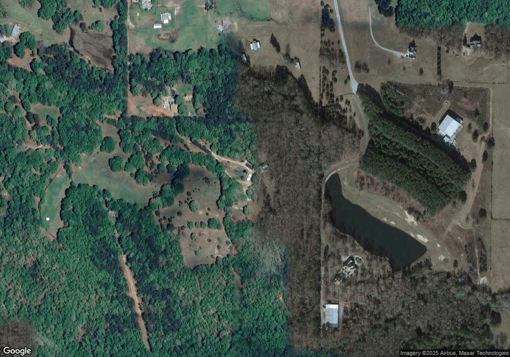
Map
Nearby Homes
- 605 Rowe Rd
- 11084 Mount Carmel Rd
- 265 Staffin Dr
- 295 Staffin Dr
- 315 Staffin Dr
- 1206 Dead Oak Rd
- 164 Rowe Rd
- 34 Sirius Ln
- 20.7 +/- ACRES Hardy Rd
- 469 Rising Star Rd
- 303 Line Creek Rd
- 0 Hardy Rd Unit 25176273
- 1098 Highway 85
- 449 Todd Rd
- LOT #37 Georgian Pines Dr
- 141 Georgian Pines Dr
- 7542 Gordon Rd
- LOT 5 Todd Seven
- LOT 7 Todd Seven
- LOT 3 Todd Seven
- 99 Thompson Rd
- 225 Thompson Rd
- 147 Thompson Rd
- 653 Rowe Rd
- 255 Thompson Rd
- 101 Thompson Rd
- 645 Rowe Rd
- 335 Thompson Rd
- 150 Thompson Rd
- 315 Thompson Rd
- 238 Thompson Rd
- 98 Thompson Rd
- 345 Thompson Rd
- 675 Rowe Rd
- 310 Thompson Rd
- 218 Thompson Rd
- 809 Rowe Rd
- 0 Thompson Rd Unit 7195734
- 0 Thompson Rd Unit 7087316
- 0 Thompson Rd Unit 7456348