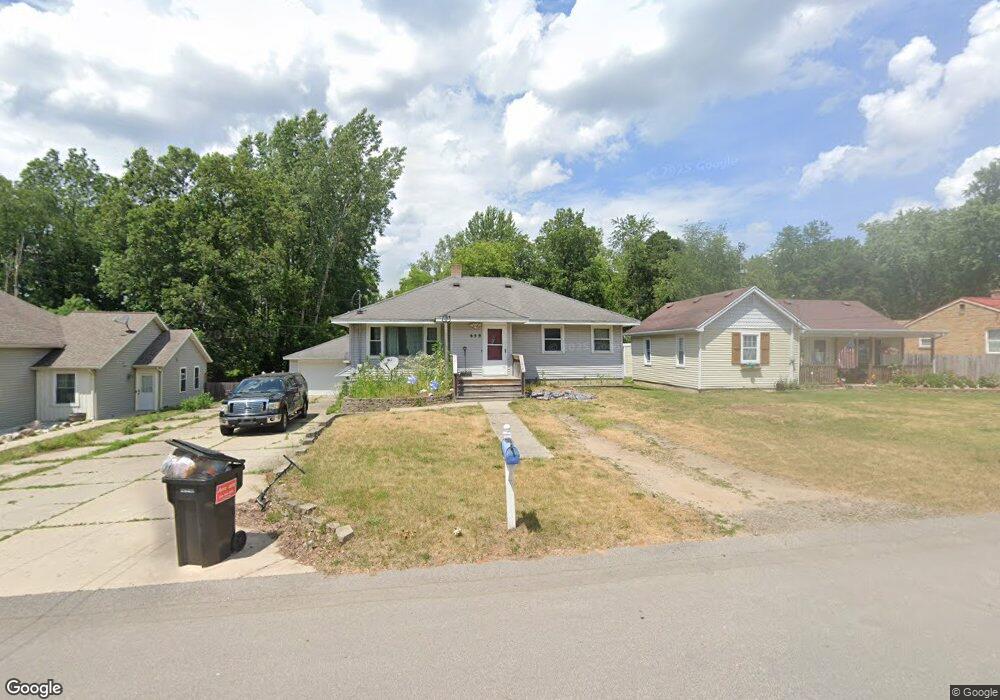
659 Rudy St NE Grand Rapids, MI 49525
Northview NeighborhoodEstimated Value: $265,000 - $363,269
4
Beds
3
Baths
1
Sq Ft
$311,317/Sq Ft
Est. Value
About This Home
This home is located at 659 Rudy St NE, Grand Rapids, MI 49525 and is currently estimated at $311,317, approximately $311,317 per square foot. 659 Rudy St NE is a home located in Kent County with nearby schools including West Oakview Elementary School, North Oakview Elementary School, and East Oakview Elementary School.
Ownership History
Date
Name
Owned For
Owner Type
Purchase Details
Closed on
Sep 27, 2021
Sold by
Parks Michael S
Bought by
Parks Michael S and Parks Courtney
Current Estimated Value
Home Financials for this Owner
Home Financials are based on the most recent Mortgage that was taken out on this home.
Original Mortgage
$100,100
Outstanding Balance
$91,282
Interest Rate
2.8%
Mortgage Type
New Conventional
Estimated Equity
$220,035
Purchase Details
Closed on
Aug 22, 2018
Sold by
Parks Steven L and Parks Linda S
Bought by
Parks Michael S
Home Financials for this Owner
Home Financials are based on the most recent Mortgage that was taken out on this home.
Original Mortgage
$100,000
Interest Rate
4.5%
Mortgage Type
New Conventional
Purchase Details
Closed on
Sep 10, 1993
Bought by
Parks Steven L and Parks Steven L
Create a Home Valuation Report for This Property
The Home Valuation Report is an in-depth analysis detailing your home's value as well as a comparison with similar homes in the area
Home Values in the Area
Average Home Value in this Area
Purchase History
| Date | Buyer | Sale Price | Title Company |
|---|---|---|---|
| Parks Michael S | -- | None Listed On Document | |
| Parks Michael S | $125,000 | None Available | |
| Parks Steven L | $71,500 | -- |
Source: Public Records
Mortgage History
| Date | Status | Borrower | Loan Amount |
|---|---|---|---|
| Open | Parks Michael S | $100,100 | |
| Previous Owner | Parks Michael S | $100,000 |
Source: Public Records
Tax History Compared to Growth
Tax History
| Year | Tax Paid | Tax Assessment Tax Assessment Total Assessment is a certain percentage of the fair market value that is determined by local assessors to be the total taxable value of land and additions on the property. | Land | Improvement |
|---|---|---|---|---|
| 2025 | $1,503 | $158,700 | $0 | $0 |
| 2024 | $1,503 | $149,500 | $0 | $0 |
| 2023 | $1,408 | $118,700 | $0 | $0 |
| 2022 | $2,085 | $111,700 | $0 | $0 |
| 2021 | $2,031 | $107,900 | $0 | $0 |
| 2020 | $1,297 | $91,000 | $0 | $0 |
| 2019 | $1,944 | $85,100 | $0 | $0 |
| 2018 | $1,944 | $76,300 | $0 | $0 |
| 2017 | $1,893 | $68,200 | $0 | $0 |
| 2016 | $1,829 | $62,000 | $0 | $0 |
| 2015 | $1,809 | $62,000 | $0 | $0 |
| 2013 | -- | $54,200 | $0 | $0 |
Source: Public Records
Map
Nearby Homes
- 4005 Filkins Dr NE
- 3776 Eastern Ave NE
- 3649 Coit Ave NE
- 3661 Willow Dr NE
- 3903 Willow Dr NE
- 3836 Standish Ave NE
- 3785 Willow Dr NE
- 3544 Briggs Blvd NE
- 1030 4 Mile Rd NE
- 408 Elmdale St NE
- 3261 Essex St NE
- 3750 Benjamin Ave NE
- Wilshire Plan at The Range
- Remington Plan at The Range
- Linden Plan at The Range
- Enclave Plan at The Range
- Croswell Plan at The Range
- Cascade Plan at The Range
- Carson Plan at The Range
- Avery Plan at The Range
- 653 Rudy St NE
- 665 Rudy St NE
- 703 Rudy St NE
- 641 Rudy St NE
- 666 Rudy St NE
- 709 Rudy St NE
- 660 Rudy St NE
- 654 Rudy St NE
- 715 Rudy St NE
- 664 Rudy St NE
- 646 Rudy St NE
- 668 Rudy St NE
- 640 Rudy St NE
- 710 Rudy St NE
- 721 Rudy St NE
- 3965 Filkins Dr NE
- 716 Rudy St NE
- 3945 Filkins Dr NE
- 685 Georgia Ct NE
- 661 Georgia Ct NE