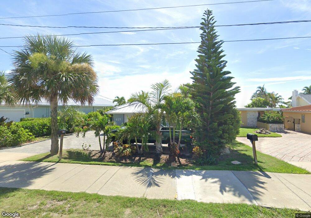
659 S Atlantic Ave Cocoa Beach, FL 32931
Estimated Value: $1,211,000 - $2,332,000
3
Beds
4
Baths
1,420
Sq Ft
$1,267/Sq Ft
Est. Value
About This Home
This home is located at 659 S Atlantic Ave, Cocoa Beach, FL 32931 and is currently estimated at $1,799,495, approximately $1,267 per square foot. 659 S Atlantic Ave is a home located in Brevard County with nearby schools including Theodore Roosevelt Elementary School, Cocoa Beach Junior/Senior High School, and Cocoa Beach Christian School.
Ownership History
Date
Name
Owned For
Owner Type
Purchase Details
Closed on
Apr 7, 2000
Sold by
Dacosta Stephannie L
Bought by
Boxwell Robert C
Current Estimated Value
Purchase Details
Closed on
Jul 30, 1999
Sold by
Storey Gertrude F
Bought by
Dacosta Stephannie L
Home Financials for this Owner
Home Financials are based on the most recent Mortgage that was taken out on this home.
Original Mortgage
$150,000
Interest Rate
7.66%
Create a Home Valuation Report for This Property
The Home Valuation Report is an in-depth analysis detailing your home's value as well as a comparison with similar homes in the area
Home Values in the Area
Average Home Value in this Area
Purchase History
| Date | Buyer | Sale Price | Title Company |
|---|---|---|---|
| Boxwell Robert C | $385,000 | -- | |
| Dacosta Stephannie L | $229,000 | -- |
Source: Public Records
Mortgage History
| Date | Status | Borrower | Loan Amount |
|---|---|---|---|
| Previous Owner | Dacosta Stephannie L | $150,000 |
Source: Public Records
Tax History Compared to Growth
Tax History
| Year | Tax Paid | Tax Assessment Tax Assessment Total Assessment is a certain percentage of the fair market value that is determined by local assessors to be the total taxable value of land and additions on the property. | Land | Improvement |
|---|---|---|---|---|
| 2025 | $23,851 | $1,208,540 | -- | -- |
| 2024 | $19,938 | $1,874,460 | -- | -- |
| 2023 | $19,938 | $1,383,180 | $0 | $0 |
| 2022 | $17,699 | $1,327,060 | $0 | $0 |
| 2021 | $15,486 | $1,002,360 | $862,500 | $139,860 |
| 2020 | $13,726 | $831,680 | $690,000 | $141,680 |
| 2019 | $13,039 | $773,780 | $650,000 | $123,780 |
| 2018 | $13,238 | $772,120 | $650,000 | $122,120 |
| 2017 | $12,494 | $706,990 | $600,000 | $106,990 |
| 2016 | $11,821 | $674,800 | $575,000 | $99,800 |
| 2015 | $11,532 | $583,580 | $575,000 | $8,580 |
| 2014 | $10,317 | $530,530 | $525,000 | $5,530 |
Source: Public Records
Map
Nearby Homes
- 637 S Orlando Ave
- 701 S Orlando Ave
- 640 S Brevard Ave Unit 1234
- 550 S Brevard Ave Unit 523
- 801 S Brevard Ave Unit G
- 760 S Brevard Ave Unit 219
- 760 S Brevard Ave Unit 321
- 320 S Brevard Ave
- 315 S Brevard Ave
- 660 S Brevard Ave Unit 1515
- 530 S Brevard Ave Unit 315
- 530 S Brevard Ave Unit 322
- 630 S Brevard Ave Unit 1132
- 540 S Brevard Ave Unit 412
- 451 S Brevard Ave Unit 14
- 933 S Atlantic Ave
- 580 S Brevard Ave Unit 817
- 921 S Orlando Ave
- 402 S Orlando Ave
- 931 S Orlando Ave
- 659 S Atlantic Ave Unit ID1069200P
- 649 S Atlantic Ave
- 673 S Atlantic Ave
- 689 S Atlantic Ave
- 641 S Atlantic Ave
- 674 S Atlantic Ave
- 672 S Atlantic Ave
- 625 S Atlantic Ave
- 701 S Atlantic Ave
- 686 S Atlantic Ave
- 658 S Atlantic Ave Unit 6
- 658 S Atlantic Ave Unit 6
- 658 S Atlantic Ave Unit 3
- 658 S Atlantic Ave Unit 2
- 658 S Atlantic Ave Unit 4
- 658 S Atlantic Ave Unit 5
- 658 S Atlantic Ave Unit 1
- 709 S Atlantic Ave
- 617 S Atlantic Ave
- 656 S Atlantic Ave Unit 7