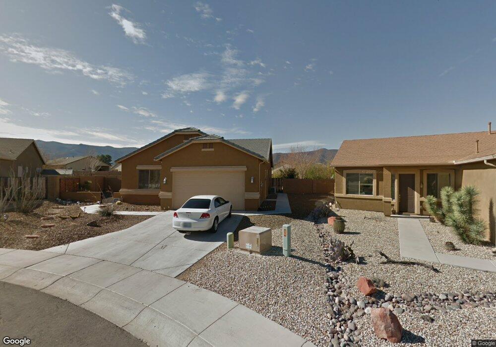
659 S Rowdy Ranch Dr Camp Verde, AZ 86322
Estimated Value: $434,000 - $496,000
4
Beds
2
Baths
1,851
Sq Ft
$249/Sq Ft
Est. Value
About This Home
This home is located at 659 S Rowdy Ranch Dr, Camp Verde, AZ 86322 and is currently estimated at $461,372, approximately $249 per square foot. 659 S Rowdy Ranch Dr is a home located in Yavapai County with nearby schools including Camp Verde Elementary School, Camp Verde Middle School, and Camp Verde High School.
Ownership History
Date
Name
Owned For
Owner Type
Purchase Details
Closed on
Jun 12, 2017
Sold by
Sanguinetti Carol A
Bought by
Sabbe Marvin A and Sabbe Nancy R
Current Estimated Value
Purchase Details
Closed on
Oct 3, 2005
Sold by
Uh Partners I Llc
Bought by
Sanguinetti Carol A
Home Financials for this Owner
Home Financials are based on the most recent Mortgage that was taken out on this home.
Original Mortgage
$230,927
Interest Rate
5.7%
Mortgage Type
New Conventional
Create a Home Valuation Report for This Property
The Home Valuation Report is an in-depth analysis detailing your home's value as well as a comparison with similar homes in the area
Home Values in the Area
Average Home Value in this Area
Purchase History
| Date | Buyer | Sale Price | Title Company |
|---|---|---|---|
| Sabbe Marvin A | $250,000 | Yavapai Title | |
| Sanguinetti Carol A | $256,586 | First American Title Ins |
Source: Public Records
Mortgage History
| Date | Status | Borrower | Loan Amount |
|---|---|---|---|
| Previous Owner | Sanguinetti Carol A | $230,927 |
Source: Public Records
Tax History Compared to Growth
Tax History
| Year | Tax Paid | Tax Assessment Tax Assessment Total Assessment is a certain percentage of the fair market value that is determined by local assessors to be the total taxable value of land and additions on the property. | Land | Improvement |
|---|---|---|---|---|
| 2026 | $2,085 | $43,652 | -- | -- |
| 2024 | $2,060 | $43,468 | -- | -- |
| 2023 | $2,060 | $35,977 | $3,402 | $32,575 |
| 2022 | $1,980 | $30,666 | $3,983 | $26,683 |
| 2021 | $2,043 | $28,052 | $3,756 | $24,296 |
| 2020 | $1,993 | $0 | $0 | $0 |
| 2019 | $1,972 | $0 | $0 | $0 |
| 2018 | $1,880 | $0 | $0 | $0 |
| 2017 | $1,850 | $0 | $0 | $0 |
| 2016 | $1,798 | $0 | $0 | $0 |
| 2015 | $1,812 | $0 | $0 | $0 |
| 2014 | $1,754 | $0 | $0 | $0 |
Source: Public Records
Map
Nearby Homes
- 870 W Deep Gorge Rd
- 509 S Longhorn Dr
- 836 Arizona 260
- 667 E Cliffs Pkwy
- 639 S Azure Dr
- 778 W Salt Mine Rd
- 556 S Azure Dr
- 539 W Saddle Creek Dr
- 1145 W Thorton Rd
- 12 Ranch Dr
- 1053 W Wheeler Rd
- 1114 W Thorton Rd
- 660 S Dakota Dr
- 0000 W General Crook Trail
- 477 Arizona 260
- 421 S Dakota Dr
- 104 S Copper Canyon Loop
- 80 S Copper Canyon Loop
- 75 S Copper Canyon Loop
- 61 S Copper Canyon Loop