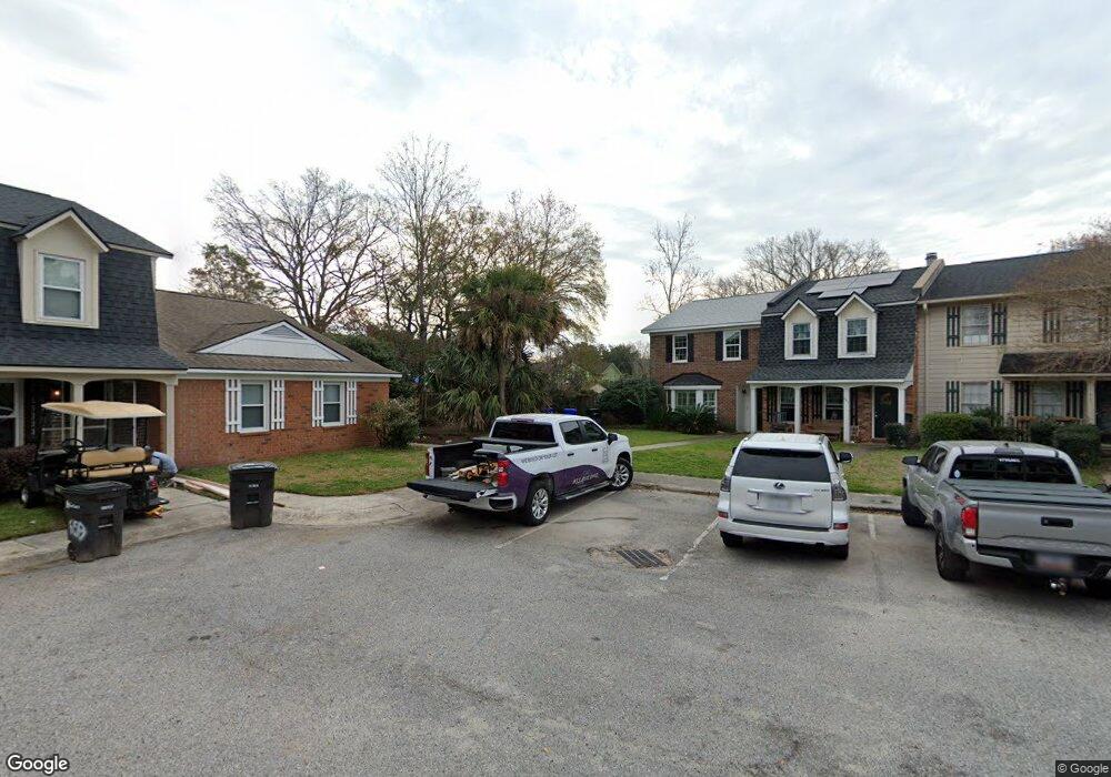
659 Swinton Ct Unit A Mount Pleasant, SC 29464
Estimated Value: $495,000 - $545,000
2
Beds
3
Baths
1,391
Sq Ft
$375/Sq Ft
Est. Value
About This Home
This home is located at 659 Swinton Ct Unit A, Mount Pleasant, SC 29464 and is currently estimated at $521,763, approximately $375 per square foot. 659 Swinton Ct Unit A is a home located in Charleston County with nearby schools including James B. Edwards Elementary School, Moultrie Middle School, and Lucy Garrett Beckham High School.
Ownership History
Date
Name
Owned For
Owner Type
Purchase Details
Closed on
Jan 12, 2021
Sold by
Cooper James P and Cooper Jane P
Bought by
Alge Llc
Current Estimated Value
Purchase Details
Closed on
Sep 28, 2007
Sold by
Keller Vicki Guyton and Guyton Vicki A
Bought by
Cooper James P and Cooper Jane P
Home Financials for this Owner
Home Financials are based on the most recent Mortgage that was taken out on this home.
Original Mortgage
$198,550
Interest Rate
6.41%
Mortgage Type
Purchase Money Mortgage
Purchase Details
Closed on
Nov 15, 2004
Sold by
Vaughn Bobby M
Bought by
Guyton Vicki A
Create a Home Valuation Report for This Property
The Home Valuation Report is an in-depth analysis detailing your home's value as well as a comparison with similar homes in the area
Home Values in the Area
Average Home Value in this Area
Purchase History
| Date | Buyer | Sale Price | Title Company |
|---|---|---|---|
| Alge Llc | $300,000 | None Available | |
| Cooper James P | $209,000 | Attorney | |
| Guyton Vicki A | $152,000 | -- |
Source: Public Records
Mortgage History
| Date | Status | Borrower | Loan Amount |
|---|---|---|---|
| Previous Owner | Cooper James P | $198,550 |
Source: Public Records
Tax History Compared to Growth
Tax History
| Year | Tax Paid | Tax Assessment Tax Assessment Total Assessment is a certain percentage of the fair market value that is determined by local assessors to be the total taxable value of land and additions on the property. | Land | Improvement |
|---|---|---|---|---|
| 2024 | $4,512 | $17,430 | $0 | $0 |
| 2023 | $4,512 | $18,000 | $0 | $0 |
| 2022 | $4,251 | $18,000 | $0 | $0 |
| 2021 | $3,153 | $13,180 | $0 | $0 |
| 2020 | $3,116 | $13,180 | $0 | $0 |
| 2019 | $2,839 | $11,460 | $0 | $0 |
| 2017 | $2,734 | $11,460 | $0 | $0 |
| 2016 | $2,639 | $11,460 | $0 | $0 |
| 2015 | $2,516 | $11,460 | $0 | $0 |
| 2014 | $2,286 | $0 | $0 | $0 |
| 2011 | -- | $0 | $0 | $0 |
Source: Public Records
Map
Nearby Homes
- 680 Buckhall Ct
- 976 Bay Tree Cir
- 621 Williamson Dr
- 970 Cottingham Dr
- 933 Lakeview Dr
- 1011 Lakeview Dr
- 1006 Lakeview Dr
- 810 Creekside Dr
- 309 N Civitas St
- 1031 Lakeview Dr
- 1030 W Lakeview Dr
- 926 Lansing Dr Unit 926-G
- 183 Civitas St
- 613 Noble Ln
- 741 Creekside Dr
- 153 Heritage Cir Unit 3
- 163 Heritage Cir Unit K-8
- 155 Ionsborough St
- 967 Pine Hollow Rd Unit Lot C3
- 408 Japonica Rd
- 661 Swinton Ct
- 661 Swinton Ct Unit B
- 663 Swinton Ct
- 678 Swinton Ct
- 678 Swinton Ct Unit E
- 668 Buckhall Ct Unit D
- 664 Buckhall Ct
- 665 Swinton Ct Unit D
- 662 Buckhall Ct
- 676 Swinton Ct
- 676 Swinton Ct Unit D
- 660 Buckhall Ct
- 651 Swinton Ct
- 674 Swinton Ct Unit C
- 653 Swinton Ct
- 672 Swinton Ct
- 682 Buckhall Ct
- 664 Swinton Ct Unit C
- 655 Swinton Ct
- 662 Swinton Ct Unit B