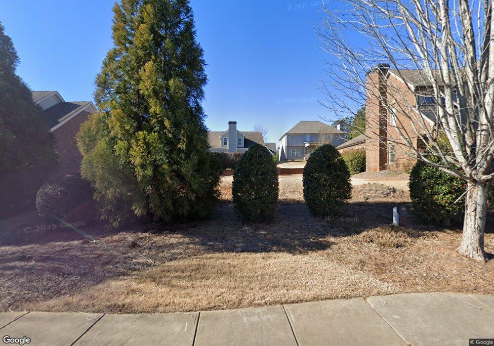
659 Timothy Rd Athens, GA 30606
Tanglewood NeighborhoodEstimated Value: $39,000 - $834,000
--
Bed
--
Bath
--
Sq Ft
--
Built
About This Home
This home is located at 659 Timothy Rd, Athens, GA 30606 and is currently estimated at $388,667. 659 Timothy Rd is a home located in Clarke County with nearby schools including Timothy Elementary School, Clarke Middle School, and Clarke Central High School.
Ownership History
Date
Name
Owned For
Owner Type
Purchase Details
Closed on
Mar 2, 2018
Sold by
Ckh Homes Llc
Bought by
Art N Homes Llc
Current Estimated Value
Purchase Details
Closed on
Jul 27, 2016
Sold by
Paran Homes Llc
Bought by
Ckh Homes Inc
Purchase Details
Closed on
Jul 25, 2012
Sold by
Paran Homes Llc
Bought by
Ph Funding Llc
Purchase Details
Closed on
May 4, 2012
Sold by
Charter Bank
Bought by
Paran Homes Llc
Purchase Details
Closed on
Jun 1, 2010
Sold by
Mdcm Holdings Llc
Bought by
Charterbank
Purchase Details
Closed on
Sep 25, 2008
Sold by
Triple Creek Builders Llc
Bought by
Mdcm Holdings Llc
Purchase Details
Closed on
Nov 29, 2006
Sold by
Not Provided
Bought by
Charterbank
Create a Home Valuation Report for This Property
The Home Valuation Report is an in-depth analysis detailing your home's value as well as a comparison with similar homes in the area
Home Values in the Area
Average Home Value in this Area
Purchase History
| Date | Buyer | Sale Price | Title Company |
|---|---|---|---|
| Art N Homes Llc | $290,000 | -- | |
| Ckh Homes Inc | -- | -- | |
| Ph Funding Llc | -- | -- | |
| Paran Homes Llc | $119,000 | -- | |
| Charterbank | $75,000 | -- | |
| Mdcm Holdings Llc | -- | -- | |
| Charterbank | $55,000 | -- |
Source: Public Records
Tax History Compared to Growth
Tax History
| Year | Tax Paid | Tax Assessment Tax Assessment Total Assessment is a certain percentage of the fair market value that is determined by local assessors to be the total taxable value of land and additions on the property. | Land | Improvement |
|---|---|---|---|---|
| 2025 | $435 | $14,000 | $14,000 | $0 |
| 2024 | $435 | $14,000 | $14,000 | $0 |
| 2023 | $328 | $10,500 | $10,500 | $0 |
| 2022 | $335 | $10,500 | $10,500 | $0 |
| 2021 | $354 | $10,500 | $10,500 | $0 |
| 2020 | $354 | $10,500 | $10,500 | $0 |
| 2019 | $356 | $10,500 | $10,500 | $0 |
| 2018 | $297 | $8,760 | $8,760 | $0 |
| 2017 | $236 | $6,960 | $6,960 | $0 |
| 2016 | $204 | $6,000 | $6,000 | $0 |
| 2015 | $204 | $6,000 | $6,000 | $0 |
| 2014 | $151 | $4,440 | $4,440 | $0 |
Source: Public Records
Map
Nearby Homes
- 205 Heritage Stroll
- 190 Bowles Dr Unit 1
- 190 Bowles Dr
- 102 Branford Place
- 200 Cheatham Dr
- 132 Branford Place
- 835 Timothy Rd
- 101 Middleton Ct
- 105 Greystone Terrace
- 497 Somerset Dr
- 299 Kennington Dr
- 145 Holly Falls Dr
- 164 Plum Nelly Rd
- 155 Harold Dr
- 262 Rhodes Dr
- 1720 Timothy Rd
- 560 Fortson Rd Unit Tract 2
- 127 Chestnut Ln
- 655 Timothy Rd
- 663 Timothy Rd
- 235 Heritage Stroll
- 651 Timothy Rd
- 0 Timothy Rd Unit 10318322
- 0 Timothy Rd Unit 1009246
- 0 Timothy Rd Unit 7062850
- 0 Timothy Rd Unit 7043894
- 0 Timothy Rd Unit 3181935
- 0 Timothy Rd Unit 8734210
- 0 Timothy Rd Unit 8644834
- 0 Timothy Rd Unit 8096395
- 0 Timothy Rd Unit 3190729
- 0 Timothy Rd Unit 8923618
- 0 Timothy Rd Unit 8962756
- 0 Timothy Rd Unit 8783002
- 0 Timothy Rd Unit 8802803
- 667 Timothy Rd Unit 2H
- 667 Timothy Rd
- 225 Heritage Stroll