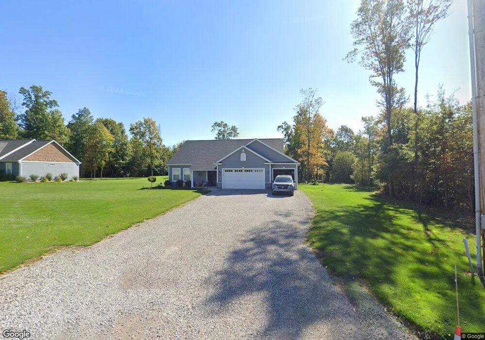
659 Unionville Rd Butler, PA 16001
Franklin Township NeighborhoodEstimated Value: $90,748 - $418,000
3
Beds
2
Baths
1,463
Sq Ft
$214/Sq Ft
Est. Value
About This Home
This home is located at 659 Unionville Rd, Butler, PA 16001 and is currently estimated at $312,937, approximately $213 per square foot. 659 Unionville Rd is a home with nearby schools including Slippery Rock Area High School.
Ownership History
Date
Name
Owned For
Owner Type
Purchase Details
Closed on
Jun 20, 2018
Sold by
The Estate Of Merle Edward Sefton Dec
Bought by
Northrop Jared E and Northrop Erica A
Current Estimated Value
Purchase Details
Closed on
Nov 5, 2002
Sold by
Mccandless J A
Bought by
Sefton Merle E
Home Financials for this Owner
Home Financials are based on the most recent Mortgage that was taken out on this home.
Original Mortgage
$29,000
Interest Rate
6.04%
Mortgage Type
Purchase Money Mortgage
Create a Home Valuation Report for This Property
The Home Valuation Report is an in-depth analysis detailing your home's value as well as a comparison with similar homes in the area
Home Values in the Area
Average Home Value in this Area
Purchase History
| Date | Buyer | Sale Price | Title Company |
|---|---|---|---|
| Northrop Jared E | $58,000 | Attorney | |
| Sefton Merle E | $29,000 | -- |
Source: Public Records
Mortgage History
| Date | Status | Borrower | Loan Amount |
|---|---|---|---|
| Previous Owner | Sefton Merle E | $29,000 |
Source: Public Records
Tax History Compared to Growth
Tax History
| Year | Tax Paid | Tax Assessment Tax Assessment Total Assessment is a certain percentage of the fair market value that is determined by local assessors to be the total taxable value of land and additions on the property. | Land | Improvement |
|---|---|---|---|---|
| 2025 | $3,301 | $23,270 | $800 | $22,470 |
| 2024 | $3,214 | $23,270 | $800 | $22,470 |
| 2023 | $3,156 | $23,270 | $800 | $22,470 |
| 2022 | $3,098 | $23,270 | $800 | $22,470 |
| 2021 | $3,052 | $23,270 | $0 | $0 |
| 2020 | $3,052 | $23,270 | $800 | $22,470 |
| 2019 | $103 | $800 | $800 | $0 |
| 2018 | $103 | $800 | $800 | $0 |
| 2017 | $103 | $800 | $800 | $0 |
| 2016 | $28 | $800 | $800 | $0 |
| 2015 | $16 | $800 | $800 | $0 |
| 2014 | $16 | $800 | $800 | $0 |
Source: Public Records
Map
Nearby Homes
- 731 Unionville Rd
- 66-68 Isle Rd
- 111 Mccall Rd
- 809 W Old Route 422
- 7126 Fairway Dr
- 342 North Rd
- 552 Village Dr
- 0 New Castle Rd Unit 1706345
- 114 Franklin Oaks Dr
- 139 N Franklin St
- 0 N Franklin St
- 170 N Franklin St
- 102 Patriot Ln
- 237 W Stony Batter Rd
- 115 Fenster Ln
- 129 Purvis Rd
- 829 Douglas St
- 112 Elgie Ln
- 357 Kennedy Rd
- 114 Virginia Ln
- 657 Unionville Rd
- 653 Unionville Rd
- 665 Unionville Rd
- 650 Unionville Rd
- 667 Unionville Rd
- 105 Red Oak Ln
- 633 Unionville Rd
- 109 Red Oak Ln
- 668 Unionville Rd
- 669 Unionville Rd
- 119 Stamm Ln
- 630 Unionville Rd
- 671 Unionville Rd
- 108 Stamm Ln
- 629 Unionville Rd
- 679 Unionville Rd
- 625 Unionville Rd
- 123 Ewing Ln
- 628 Unionville Rd
- 628 Unionville Rd