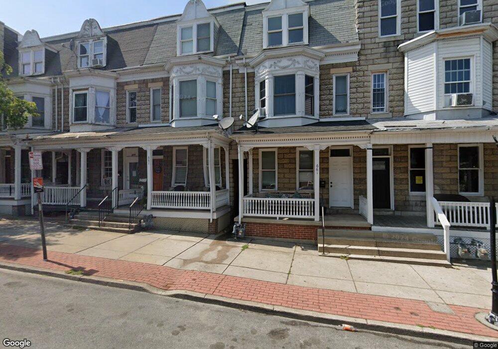
659 W Princess St York, PA 17401
West Bank NeighborhoodEstimated Value: $77,000 - $182,000
5
Beds
2
Baths
2,157
Sq Ft
$57/Sq Ft
Est. Value
About This Home
This home is located at 659 W Princess St, York, PA 17401 and is currently estimated at $123,308, approximately $57 per square foot. 659 W Princess St is a home located in York County with nearby schools including Ferguson School, William Penn Senior High School, and Lincoln Charter School.
Ownership History
Date
Name
Owned For
Owner Type
Purchase Details
Closed on
Dec 19, 2007
Sold by
Noel Brian E and Noel Judy A
Bought by
Cuevas Meliton Elsa
Current Estimated Value
Home Financials for this Owner
Home Financials are based on the most recent Mortgage that was taken out on this home.
Original Mortgage
$47,007
Outstanding Balance
$29,753
Interest Rate
6.3%
Mortgage Type
FHA
Estimated Equity
$93,555
Purchase Details
Closed on
Dec 9, 1996
Bought by
Noel Brian E
Create a Home Valuation Report for This Property
The Home Valuation Report is an in-depth analysis detailing your home's value as well as a comparison with similar homes in the area
Home Values in the Area
Average Home Value in this Area
Purchase History
| Date | Buyer | Sale Price | Title Company |
|---|---|---|---|
| Cuevas Meliton Elsa | $46,900 | Chicago Title Insurance Comp | |
| Noel Brian E | $20,000 | -- |
Source: Public Records
Mortgage History
| Date | Status | Borrower | Loan Amount |
|---|---|---|---|
| Open | Cuevas Meliton Elsa | $47,007 |
Source: Public Records
Tax History Compared to Growth
Tax History
| Year | Tax Paid | Tax Assessment Tax Assessment Total Assessment is a certain percentage of the fair market value that is determined by local assessors to be the total taxable value of land and additions on the property. | Land | Improvement |
|---|---|---|---|---|
| 2025 | $1,289 | $20,410 | $7,810 | $12,600 |
| 2024 | $1,267 | $20,410 | $7,810 | $12,600 |
| 2023 | $1,267 | $20,410 | $7,810 | $12,600 |
| 2022 | $1,260 | $20,410 | $7,810 | $12,600 |
| 2021 | $1,225 | $20,410 | $7,810 | $12,600 |
| 2020 | $1,196 | $20,410 | $7,810 | $12,600 |
| 2019 | $1,194 | $20,410 | $7,810 | $12,600 |
| 2018 | $1,194 | $20,410 | $7,810 | $12,600 |
| 2017 | $1,210 | $20,410 | $7,810 | $12,600 |
| 2016 | -- | $20,410 | $7,810 | $12,600 |
| 2015 | $677 | $20,410 | $7,810 | $12,600 |
| 2014 | $677 | $20,410 | $7,810 | $12,600 |
Source: Public Records
Map
Nearby Homes
- 32 S West St
- 828 W Princess St
- 23 S West St
- 837 W Locust St
- 908 W Princess St
- 19 Carlisle Ave
- 908 W College Ave
- 932 W College Ave
- 41 N West St
- 716 W Philadelphia St
- 726 W Philadelphia St
- 41 S Hartley St
- 1010 W Princess St
- 766 W Philadelphia St
- 463 Salem Ave
- 476 W Market St
- 431 W King St
- 1111 W Princess St
- 833 Linden Ave
- 831 Linden Ave
- 661 W Princess St
- 663 W Princess St
- 659 W Princess St
- 665 W Princess St
- 657 W Princess St
- 667 W Princess St
- 655 W Princess St
- 653 W Princess St
- 669 W Princess St
- 651 W Princess St Unit 1
- 651 W Princess St Unit . 1
- 651 W Princess St
- 143 S Belvidere Ave
- 649 W Princess St
- 141 S Belvidere Ave
- 647 W Princess St
- 139 S Belvidere Ave
- 645 W Princess St
- 137 S Belvidere Ave
- 701 W Princess St