6592 E Palmer Rd Columbia, MO 65202
Estimated Value: $264,000 - $332,832
4
Beds
3
Baths
2,219
Sq Ft
$136/Sq Ft
Est. Value
About This Home
This home is located at 6592 E Palmer Rd, Columbia, MO 65202 and is currently estimated at $301,277, approximately $135 per square foot. 6592 E Palmer Rd is a home located in Boone County with nearby schools including Two Mile Prairie Elementary School, John B. Lange Middle School, and Muriel W. Battle High School.
Ownership History
Date
Name
Owned For
Owner Type
Purchase Details
Closed on
Mar 2, 2015
Sold by
Hopson Land & Cattle Llc
Bought by
Midkiff Charles
Current Estimated Value
Home Financials for this Owner
Home Financials are based on the most recent Mortgage that was taken out on this home.
Original Mortgage
$135,612
Outstanding Balance
$103,788
Interest Rate
3.66%
Mortgage Type
New Conventional
Estimated Equity
$197,489
Purchase Details
Closed on
Nov 14, 2014
Sold by
Wade Howard V and Wade H
Bought by
Hopson Land & Cattle Llc
Create a Home Valuation Report for This Property
The Home Valuation Report is an in-depth analysis detailing your home's value as well as a comparison with similar homes in the area
Purchase History
| Date | Buyer | Sale Price | Title Company |
|---|---|---|---|
| Midkiff Charles | -- | None Available | |
| Hopson Land & Cattle Llc | -- | Boone Central Title Co |
Source: Public Records
Mortgage History
| Date | Status | Borrower | Loan Amount |
|---|---|---|---|
| Open | Midkiff Charles | $135,612 |
Source: Public Records
Tax History
| Year | Tax Paid | Tax Assessment Tax Assessment Total Assessment is a certain percentage of the fair market value that is determined by local assessors to be the total taxable value of land and additions on the property. | Land | Improvement |
|---|---|---|---|---|
| 2025 | $2,103 | $29,906 | $3,496 | $26,410 |
| 2024 | $1,966 | $27,189 | $3,496 | $23,693 |
| 2023 | $1,949 | $27,189 | $3,496 | $23,693 |
| 2022 | $1,804 | $25,175 | $3,496 | $21,679 |
| 2021 | $1,806 | $25,175 | $3,496 | $21,679 |
| 2020 | $1,772 | $23,311 | $3,496 | $19,815 |
| 2019 | $1,772 | $23,311 | $3,496 | $19,815 |
| 2018 | $1,651 | $0 | $0 | $0 |
| 2017 | $1,630 | $21,584 | $3,496 | $18,088 |
| 2016 | $1,630 | $21,584 | $3,496 | $18,088 |
| 2015 | $1,505 | $21,584 | $3,496 | $18,088 |
| 2014 | $1,509 | $21,584 | $3,496 | $18,088 |
Source: Public Records
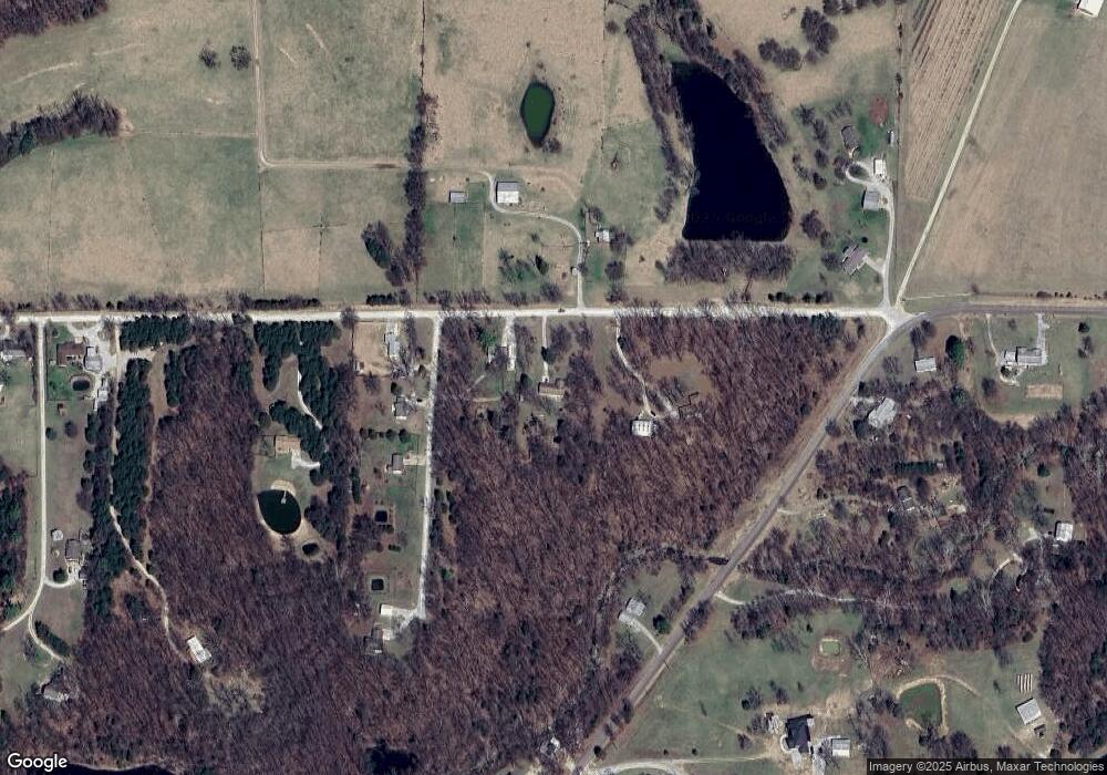
Map
Nearby Homes
- 3920 Forester Ct
- LOT 17 Forester Ct
- LOT 14 Forester Ct
- LOT 13 Forester Ct
- LOT 239 Kestrel Ct
- LOT 235 Kestrel Ct
- LOT 213 Kestrel Lp
- 6176 Partridge Ct
- LOT 233 Kestrel Lp
- LOT 225 Kestrel Lp
- LOT 216 Kestrel Lp
- LOT 240 Kestrel Lp
- LOT 237 Kestrel Ct
- LOT 215 Kestrel Lp
- LOT 217 Kestrel Lp
- 4301 Cotton Wood Dr
- LOT 221 Kestrel Lp
- LOT 232 Kestrel Lp
- LOT 234 Kestrel Ct
- LOT 231 Kestrel Lp
- 6590 E Palmer Rd
- 6614 E Palmer Rd
- 5195 N Douglas Dr
- 5151 N Douglas Dr
- 5105 N Douglas Dr
- 5001 N Highway Pp
- 6430 E Palmer Rd
- 5011 N Douglas Dr
- 6787 E Palmer Rd
- 6787 E Palmer Rd
- 5120 N Highway Pp
- 4909 N Highway Pp
- 5100 N Highway Pp
- 5130 N Highway Pp
- 6789 E Palmer Rd
- 4910 N Highway Pp
- 4901 N Highway Pp
- 5140 N Highway Pp
- 6250 E Palmer Rd
- 4871 N Highway Pp
Your Personal Tour Guide
Ask me questions while you tour the home.