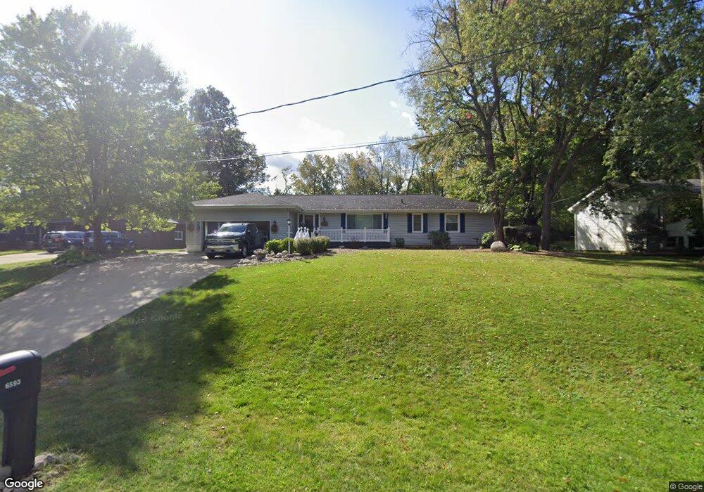
6593 Lorrie Dr Spring Arbor, MI 49283
Estimated Value: $268,878 - $325,000
--
Bed
1
Bath
1,764
Sq Ft
$165/Sq Ft
Est. Value
About This Home
This home is located at 6593 Lorrie Dr, Spring Arbor, MI 49283 and is currently estimated at $290,470, approximately $164 per square foot. 6593 Lorrie Dr is a home located in Jackson County with nearby schools including Western High School, Paragon Charter Academy, and Trinity Lutheran School.
Ownership History
Date
Name
Owned For
Owner Type
Purchase Details
Closed on
Jun 14, 2001
Sold by
Lunger Terance M and Lunger Marjorie V
Bought by
Shepherd Shannon D and Shepherd Pamela J
Current Estimated Value
Home Financials for this Owner
Home Financials are based on the most recent Mortgage that was taken out on this home.
Original Mortgage
$135,920
Outstanding Balance
$51,661
Interest Rate
7.11%
Mortgage Type
Purchase Money Mortgage
Estimated Equity
$238,809
Purchase Details
Closed on
May 3, 1999
Sold by
Clanton Larry D and Clanton Colleen E
Bought by
Lunger Terance M and Lunger Marjorie V
Create a Home Valuation Report for This Property
The Home Valuation Report is an in-depth analysis detailing your home's value as well as a comparison with similar homes in the area
Home Values in the Area
Average Home Value in this Area
Purchase History
| Date | Buyer | Sale Price | Title Company |
|---|---|---|---|
| Shepherd Shannon D | $169,900 | -- | |
| Lunger Terance M | $120,000 | -- |
Source: Public Records
Mortgage History
| Date | Status | Borrower | Loan Amount |
|---|---|---|---|
| Open | Shepherd Shannon D | $135,920 |
Source: Public Records
Tax History Compared to Growth
Tax History
| Year | Tax Paid | Tax Assessment Tax Assessment Total Assessment is a certain percentage of the fair market value that is determined by local assessors to be the total taxable value of land and additions on the property. | Land | Improvement |
|---|---|---|---|---|
| 2025 | $3,925 | $138,100 | $0 | $0 |
| 2024 | $2,183 | $137,100 | $0 | $0 |
| 2023 | $2,184 | $124,000 | $0 | $0 |
| 2022 | $3,604 | $111,700 | $0 | $0 |
| 2021 | $3,544 | $108,450 | $0 | $0 |
| 2020 | $3,550 | $99,920 | $0 | $0 |
| 2019 | $3,367 | $91,440 | $0 | $0 |
| 2018 | $3,032 | $83,100 | $9,810 | $73,290 |
| 2017 | $2,870 | $84,560 | $0 | $0 |
| 2016 | $1,616 | $83,360 | $83,360 | $0 |
| 2015 | $66,395 | $74,890 | $74,890 | $0 |
| 2014 | $66,395 | $68,950 | $68,950 | $0 |
| 2013 | -- | $68,950 | $68,950 | $0 |
Source: Public Records
Map
Nearby Homes
- 3123 Earl Dr
- 2926 S Sandstone Rd
- V/L S Dearing Rd Unit 40 Acres Vacant Land
- 6051 Riverside Dr
- 3010 E Court St
- 181 Remington Dr
- 3059 Arborwood Blvd Unit 32
- 392 Richard St
- 119 Blenheim Dr
- 306 E Main St
- 5933 Mccain Rd
- 6460 Mccain Rd
- 5485 Sherwood Dr
- VL Spring Arbor Rd
- 5468 Wellesley Dr
- 5030 Rimers Dr
- 2503 Milford Rd
- 2629 Renfrew Dr
- 5162 Vrooman Rd
- 5427 Vrooman Rd
- 6589 Lorrie Dr
- 6585 Lorrie Dr
- 6594 Lorrie Dr
- 6601 Lorrie Dr
- 3126 Dorothy Ln
- 6600 Lorrie Dr
- 3122 Dorothy Ln
- 6581 Lorrie Dr
- 3150 Daggitt Dr
- 3118 Dorothy Ln
- 3137 Daggitt Dr
- 6578 Lorrie Dr
- 3129 Dorothy Ln
- 6577 Lorrie Dr
- 3146 Daggitt Dr
- 3133 Daggitt Dr
- 3125 Dorothy Ln
- 3121 Dorothy Ln
- 3132 Lorrie Dr
- 3117 Dorothy Ln