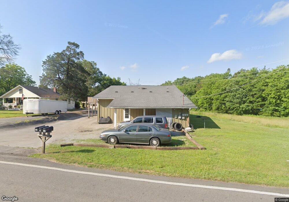
6593 Reeds Bridge Rd Unit 3 Ringgold, GA 30736
Estimated Value: $295,224 - $729,000
--
Bed
3
Baths
3,082
Sq Ft
$139/Sq Ft
Est. Value
About This Home
This home is located at 6593 Reeds Bridge Rd Unit 3, Ringgold, GA 30736 and is currently estimated at $429,806, approximately $139 per square foot. 6593 Reeds Bridge Rd Unit 3 is a home located in Catoosa County with nearby schools including Battlefield Primary School, Battlefield Elementary School, and Heritage Middle School.
Ownership History
Date
Name
Owned For
Owner Type
Purchase Details
Closed on
Mar 17, 2022
Sold by
Metcalf Dewayne
Bought by
Metcalf Dewayne and Metcalf Windy
Current Estimated Value
Home Financials for this Owner
Home Financials are based on the most recent Mortgage that was taken out on this home.
Original Mortgage
$192,000
Outstanding Balance
$178,626
Interest Rate
3.55%
Mortgage Type
New Conventional
Estimated Equity
$251,180
Purchase Details
Closed on
Mar 9, 2022
Sold by
Roaming Buffalo Properties Inc
Bought by
Metcalf Dewayne
Home Financials for this Owner
Home Financials are based on the most recent Mortgage that was taken out on this home.
Original Mortgage
$192,000
Outstanding Balance
$178,626
Interest Rate
3.55%
Mortgage Type
New Conventional
Estimated Equity
$251,180
Purchase Details
Closed on
Apr 21, 2017
Sold by
Chancey Monty L
Bought by
Roaming Buffalo Inc
Purchase Details
Closed on
Aug 27, 1998
Bought by
Chancey Monty L
Create a Home Valuation Report for This Property
The Home Valuation Report is an in-depth analysis detailing your home's value as well as a comparison with similar homes in the area
Home Values in the Area
Average Home Value in this Area
Purchase History
| Date | Buyer | Sale Price | Title Company |
|---|---|---|---|
| Metcalf Dewayne | -- | -- | |
| Metcalf Dewayne | $256,000 | -- | |
| Roaming Buffalo Inc | -- | -- | |
| Chancey Monty L | $90,900 | -- |
Source: Public Records
Mortgage History
| Date | Status | Borrower | Loan Amount |
|---|---|---|---|
| Open | Metcalf Dewayne | $192,000 |
Source: Public Records
Tax History Compared to Growth
Tax History
| Year | Tax Paid | Tax Assessment Tax Assessment Total Assessment is a certain percentage of the fair market value that is determined by local assessors to be the total taxable value of land and additions on the property. | Land | Improvement |
|---|---|---|---|---|
| 2024 | $2,372 | $137,984 | $9,865 | $128,119 |
| 2023 | $1,586 | $70,832 | $9,865 | $60,967 |
| 2022 | $1,267 | $56,605 | $9,865 | $46,740 |
| 2021 | $1,184 | $56,605 | $9,865 | $46,740 |
| 2020 | $1,129 | $48,810 | $9,865 | $38,945 |
| 2019 | $1,142 | $48,810 | $9,865 | $38,945 |
| 2018 | $1,206 | $48,810 | $9,865 | $38,945 |
| 2017 | $1,204 | $48,716 | $9,865 | $38,851 |
| 2016 | $1,187 | $45,663 | $9,865 | $35,798 |
| 2015 | -- | $43,991 | $8,194 | $35,798 |
| 2014 | -- | $43,991 | $8,194 | $35,798 |
| 2013 | -- | $43,991 | $8,193 | $35,797 |
Source: Public Records
Map
Nearby Homes
- 60 Walker St
- 85 Inlet Isle Dr
- 136 Spinnaker Dr
- 490 Lakeshore Cove Dr Unit 10
- 490 Lakeshore Cove Dr
- 144 Ridgelake Cir
- 631 Lakeshore Cove Dr
- 614 Lakeshore Cove Dr Unit 19
- 614 Lakeshore Cove Dr
- 39 Rock Haven Ln
- 0 Horne Ln Unit 10410171
- 0 Horne Ln Unit 1502888
- 290 Powder Horn Ln
- 342 Powder Horn Ln
- 0 Battlefield Pkwy Unit 129870
- 59 Gattis Dr
- 132 Brownwood Cir
- 52 S Glade Rd
- 267 Brownwood Cir
- 5210 Boynton Dr
- 6593 Reeds Bridge Rd
- 6573 Reeds Bridge Rd
- 6547 Reeds Bridge Rd
- 6521 Reeds Bridge Rd
- 6495 Reeds Bridge Rd
- 6446 Reeds Bridge Rd
- 6406 Reeds Bridge Rd
- 6380 Reeds Bridge Rd
- 6558 Reeds Bridge Rd
- 172 Alverson Ln
- 6374 Reeds Bridge Rd
- 6256 Reeds Bridge Rd
- 119 Paradise Ln
- 201 Gibson Dr
- 205 Gibson Dr
- 6052 Reeds Bridge Rd
- 489 Cannon Dr
- 177 Shoemake Ln
- 507 Cannon Dr
- 3 Cannonball Ln