6594 Dusty Ln Show Low, AZ 85901
Estimated Value: $485,177 - $576,000
--
Bed
--
Bath
2,027
Sq Ft
$266/Sq Ft
Est. Value
About This Home
This home is located at 6594 Dusty Ln, Show Low, AZ 85901 and is currently estimated at $538,294, approximately $265 per square foot. 6594 Dusty Ln is a home located in Navajo County with nearby schools including Linden Elementary School, Show Low High School, and Show Low Junior High School.
Ownership History
Date
Name
Owned For
Owner Type
Purchase Details
Closed on
Mar 17, 2021
Sold by
Norlin Robert O and Norlin Carrie L
Bought by
Norlin Louise Carrie and Norlin Robert O
Current Estimated Value
Home Financials for this Owner
Home Financials are based on the most recent Mortgage that was taken out on this home.
Original Mortgage
$194,000
Interest Rate
2.7%
Mortgage Type
New Conventional
Create a Home Valuation Report for This Property
The Home Valuation Report is an in-depth analysis detailing your home's value as well as a comparison with similar homes in the area
Home Values in the Area
Average Home Value in this Area
Purchase History
| Date | Buyer | Sale Price | Title Company |
|---|---|---|---|
| Norlin Louise Carrie | -- | Fidelity Natl Ttl Agcy Inc |
Source: Public Records
Mortgage History
| Date | Status | Borrower | Loan Amount |
|---|---|---|---|
| Closed | Norlin Louise Carrie | $194,000 |
Source: Public Records
Tax History Compared to Growth
Tax History
| Year | Tax Paid | Tax Assessment Tax Assessment Total Assessment is a certain percentage of the fair market value that is determined by local assessors to be the total taxable value of land and additions on the property. | Land | Improvement |
|---|---|---|---|---|
| 2026 | $1,389 | -- | -- | -- |
| 2025 | $1,357 | $40,755 | $6,205 | $34,550 |
| 2024 | $1,272 | $38,826 | $4,177 | $34,649 |
| 2023 | $1,357 | $27,430 | $2,592 | $24,838 |
| 2022 | $1,272 | $0 | $0 | $0 |
| 2021 | $1,670 | $0 | $0 | $0 |
| 2020 | $1,555 | $0 | $0 | $0 |
| 2019 | $1,556 | $0 | $0 | $0 |
| 2018 | $1,474 | $0 | $0 | $0 |
| 2017 | $1,345 | $0 | $0 | $0 |
| 2016 | $1,328 | $0 | $0 | $0 |
| 2015 | $1,253 | $12,578 | $3,925 | $8,653 |
Source: Public Records
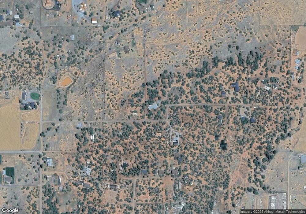
Map
Nearby Homes
- 1011 Dusty Ln
- 6527 Maxwell Ln Unit B
- 6662 State Route 260 --
- 981 Oak Grove Rd
- 1022 School House Ln
- 1028 School House Ln
- 6690 Circle c Ln
- 1179 Burton Rd
- 6668 Bandido Way
- 6711 Bandido Way
- 957 Cheney Ranch Loop
- 1023 Casper Ln
- 0 Starry Night Trail Unit 258801
- 6305 Arizona 260
- 6305 State Route 260
- 6853 Rim Rock Rd
- 6843 Lucky Ln
- 1145 Timber Ranch Rd
- 1170 Sapphire Ln
- 965 Full House Ln
- LINDEN Dusty Lane -- Unit N/A
- LINDEN Dusty Lane --
- 6598 Dusty Ln
- 6581 Dusty Ln
- 6584 Dusty Ln
- 6655 Dusty Ln
- 6656 Dusty Ln Unit 18
- 1049 Etta Ln
- 1028 Etta Ln
- 1040 Etta Ln
- 6649 Dusty Ln
- 1041 Etta Ln
- 1034 Etta Ln
- 1051 Dusty Ln
- 6643 Dusty Ln
- 6643 Dusty Ln Unit Lot P
- TBD Dusty Ln
- 6645 Dusty Ln Unit Lot T
- 6648 Dusty Ln
- 1035 Dusty Ln