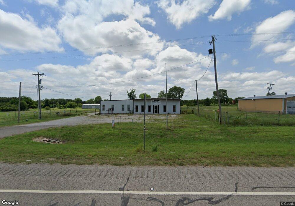
6595 State Highway 76 Wilson, OK 73463
Estimated Value: $326,000 - $446,292
--
Bed
--
Bath
4,427
Sq Ft
$87/Sq Ft
Est. Value
About This Home
This home is located at 6595 State Highway 76, Wilson, OK 73463 and is currently estimated at $386,146, approximately $87 per square foot. 6595 State Highway 76 is a home located in Carter County with nearby schools including Zaneis Public School.
Ownership History
Date
Name
Owned For
Owner Type
Purchase Details
Closed on
Sep 15, 2023
Sold by
Watkins Stanley and Watkins Carolyn
Bought by
Walterscheid Mel
Current Estimated Value
Purchase Details
Closed on
Sep 13, 2023
Sold by
Longest Diana K and Longest Robert O
Bought by
Watkins W Stanley W and Watkins Carolyn
Purchase Details
Closed on
Dec 10, 2013
Sold by
Patterson Anita M and Patterson David Frank
Bought by
Watkins W Stanley and Watkins Carolyn
Purchase Details
Closed on
Jul 30, 2004
Sold by
Brady Anita M
Bought by
Watkins Watkins W and Watkins Car
Purchase Details
Closed on
Dec 17, 1993
Sold by
Sharon Investment, Inc
Bought by
Brady Anita M
Create a Home Valuation Report for This Property
The Home Valuation Report is an in-depth analysis detailing your home's value as well as a comparison with similar homes in the area
Home Values in the Area
Average Home Value in this Area
Purchase History
| Date | Buyer | Sale Price | Title Company |
|---|---|---|---|
| Walterscheid Mel | $430,000 | Stewart Title | |
| Watkins W Stanley W | -- | Stewart Title | |
| Watkins W Stanley | $34,500 | None Available | |
| Watkins Watkins W | -- | -- | |
| Brady Anita M | $119,900 | -- |
Source: Public Records
Tax History Compared to Growth
Tax History
| Year | Tax Paid | Tax Assessment Tax Assessment Total Assessment is a certain percentage of the fair market value that is determined by local assessors to be the total taxable value of land and additions on the property. | Land | Improvement |
|---|---|---|---|---|
| 2024 | $1,598 | $20,160 | $6,242 | $13,918 |
| 2023 | $1,218 | $15,371 | $1,368 | $14,003 |
| 2022 | $1,216 | $15,371 | $1,368 | $14,003 |
| 2021 | $1,221 | $15,371 | $1,368 | $14,003 |
| 2020 | $1,222 | $15,371 | $1,368 | $14,003 |
| 2019 | $1,195 | $15,272 | $1,368 | $13,904 |
| 2018 | $1,141 | $14,575 | $902 | $13,673 |
| 2017 | $1,086 | $13,881 | $902 | $12,979 |
| 2016 | $1,134 | $14,487 | $902 | $13,585 |
| 2015 | $1,241 | $15,660 | $885 | $14,775 |
| 2014 | $1,414 | $17,837 | $885 | $16,952 |
Source: Public Records
Map
Nearby Homes
- 6595 State Highway 76 Unit Also 6589 State Hwy
- 6615 State Highway 76
- 6578 State Highway 76
- 6632 State Hwy 76
- 6632 Oklahoma 76
- 6632 State Highway 76
- 6589 Oklahoma 76
- 6703 State Highway 76
- 6479 State Highway 76
- 402 Locust Rd
- 374 Locust Rd
- 309 Locust Rd
- 43 Freedom Ln
- 255 Locust Rd
- 320 Locust Rd
- 300 Locust Rd
- 267 Freedom Ln
- 41 Freedom Ln
- 244 Locust Rd
- 203 Locust Rd