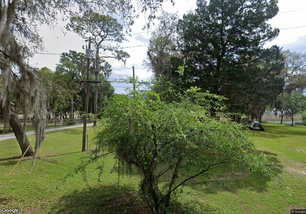
6597 Andrews Rd Keystone Heights, FL 32656
Estimated Value: $143,000 - $229,000
2
Beds
1
Bath
983
Sq Ft
$189/Sq Ft
Est. Value
About This Home
This home is located at 6597 Andrews Rd, Keystone Heights, FL 32656 and is currently estimated at $185,956, approximately $189 per square foot. 6597 Andrews Rd is a home located in Clay County with nearby schools including Keystone Heights Elementary School, Keystone Heights Junior/Senior High School, and Hope Christian Academy.
Ownership History
Date
Name
Owned For
Owner Type
Purchase Details
Closed on
Jan 3, 2017
Sold by
Hittell James Labert
Bought by
Hittell Derrick and Hittell Barbara Ann
Current Estimated Value
Purchase Details
Closed on
Mar 17, 2014
Sold by
Hittell Derrick A
Bought by
Hittell James Albert
Purchase Details
Closed on
Mar 5, 2014
Sold by
Hittell Derrick A
Bought by
Hittell Derrick A and Hittell Helen G
Purchase Details
Closed on
Apr 25, 2002
Sold by
Thomas Margaret J
Bought by
Hittell Helen Gene
Create a Home Valuation Report for This Property
The Home Valuation Report is an in-depth analysis detailing your home's value as well as a comparison with similar homes in the area
Home Values in the Area
Average Home Value in this Area
Purchase History
| Date | Buyer | Sale Price | Title Company |
|---|---|---|---|
| Hittell Derrick | -- | None Available | |
| Hittell James Albert | -- | Attorney | |
| Hittell Derrick A | -- | Attorney | |
| Hittell Helen Gene | -- | -- |
Source: Public Records
Tax History Compared to Growth
Tax History
| Year | Tax Paid | Tax Assessment Tax Assessment Total Assessment is a certain percentage of the fair market value that is determined by local assessors to be the total taxable value of land and additions on the property. | Land | Improvement |
|---|---|---|---|---|
| 2024 | $1,521 | $87,717 | $40,000 | $47,717 |
| 2023 | $1,521 | $84,550 | $40,000 | $44,550 |
| 2022 | $1,343 | $83,439 | $40,000 | $43,439 |
| 2021 | $1,256 | $72,070 | $40,000 | $32,070 |
| 2020 | $1,170 | $69,170 | $40,000 | $29,170 |
| 2019 | $1,115 | $65,782 | $40,000 | $25,782 |
| 2018 | $885 | $46,361 | $0 | $0 |
| 2017 | $883 | $45,357 | $0 | $0 |
| 2016 | $879 | $44,068 | $0 | $0 |
| 2015 | $874 | $41,420 | $0 | $0 |
| 2014 | $836 | $39,495 | $0 | $0 |
Source: Public Records
Map
Nearby Homes
- 6959 Immokalee Rd
- 6831 Cedar Brook Ct
- 6705 Autumnwood Ct
- 7115 King St
- 6490 Woodland Dr
- 6706 Baja Ct
- 6470 Brooklyn Bay Rd
- 7013 Elfo Rd
- 6615 Camelot Ct
- 7011 State Rd 21
- 6335 Payne Rd
- 7120 Gas Line Rd
- 432 SE 55th St
- 00 N Lawrence Blvd
- 215 N Lawrence Blvd
- 00 Highway 100
- 6081 Highway 100
- 6379 Antioch Ave
- 397 SE County Road 18a
- 0000 State Road 100
- 6607 Andrews Rd
- 6593 Andrews Rd
- 6609 Andrews Rd
- 6585 Andrews Rd
- 6613 Andrews Rd
- 6610 Andrews Rd
- 6625 Andrews Rd
- 6617 Andrews Rd
- 6635 Andrews Rd
- 6827 Immokalee Rd
- 6639 Andrews Rd
- 6649 Andrews Rd
- 00 Immokalee Rd
- 0 Immokalee Rd
- 6835 Immokalee Rd
- 6941 Immokalee Rd
- 6817 Immokalee Rd
- 6943 Immokalee Rd
- 6821 Immokalee Rd
- 6821 Immokalee Rd
