Estimated Value: $354,000 - $475,000
3
Beds
2
Baths
2,178
Sq Ft
$190/Sq Ft
Est. Value
About This Home
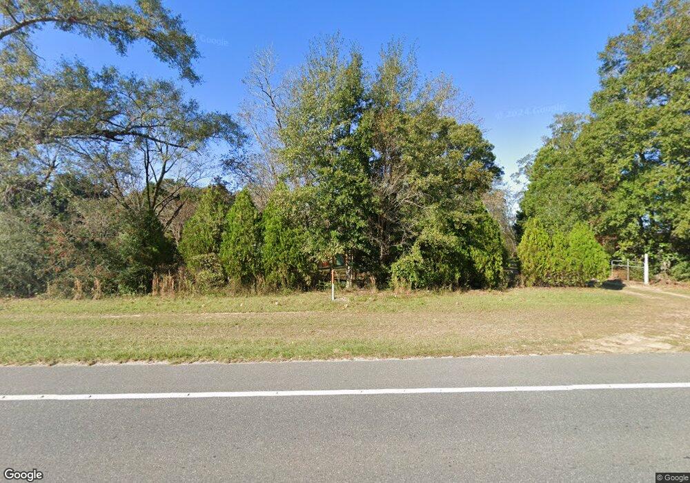
This home is located at 6598 Highway 189 N, Baker, FL 32531 and is currently estimated at $412,923, approximately $189 per square foot. 6598 Highway 189 N is a home with nearby schools including Baker School.
Ownership History
Date
Name
Owned For
Owner Type
Purchase Details
Closed on
Jul 23, 2020
Sold by
Talbert Raymond E
Bought by
Talbert Jennifer L
Current Estimated Value
Home Financials for this Owner
Home Financials are based on the most recent Mortgage that was taken out on this home.
Original Mortgage
$144,485
Outstanding Balance
$128,357
Interest Rate
3.2%
Mortgage Type
FHA
Estimated Equity
$284,566
Purchase Details
Closed on
Apr 7, 2014
Sold by
Daoud Miladeh
Bought by
Talbert Raymond E
Home Financials for this Owner
Home Financials are based on the most recent Mortgage that was taken out on this home.
Original Mortgage
$117,826
Interest Rate
4.42%
Mortgage Type
FHA
Create a Home Valuation Report for This Property
The Home Valuation Report is an in-depth analysis detailing your home's value as well as a comparison with similar homes in the area
Home Values in the Area
Average Home Value in this Area
Purchase History
| Date | Buyer | Sale Price | Title Company |
|---|---|---|---|
| Talbert Jennifer L | $220,000 | Pratt Aycock Title | |
| Talbert Raymond E | $120,000 | Allstate Title & Escrow Of N |
Source: Public Records
Mortgage History
| Date | Status | Borrower | Loan Amount |
|---|---|---|---|
| Open | Talbert Jennifer L | $144,485 | |
| Previous Owner | Talbert Raymond E | $117,826 |
Source: Public Records
Tax History Compared to Growth
Tax History
| Year | Tax Paid | Tax Assessment Tax Assessment Total Assessment is a certain percentage of the fair market value that is determined by local assessors to be the total taxable value of land and additions on the property. | Land | Improvement |
|---|---|---|---|---|
| 2024 | $2,169 | $249,955 | $14,914 | $235,041 |
| 2023 | $2,169 | $250,217 | $13,938 | $236,279 |
| 2022 | $2,191 | $230,317 | $13,026 | $217,291 |
| 2021 | $1,870 | $175,403 | $12,399 | $163,004 |
| 2020 | $1,679 | $155,561 | $12,155 | $143,406 |
| 2019 | $1,581 | $144,461 | $12,035 | $132,426 |
| 2018 | $1,368 | $122,051 | $0 | $0 |
| 2017 | $1,311 | $114,429 | $0 | $0 |
| 2016 | $1,267 | $111,464 | $0 | $0 |
| 2015 | $1,187 | $107,495 | $0 | $0 |
| 2014 | $138 | $12,300 | $0 | $0 |
Source: Public Records
Map
Nearby Homes
- 1318 John Riley Barnhill Rd
- 1512 Vinson Ray Rd
- 0000 N Sherman Kennedy
- 1424 E F Sanford Rd
- 6636 Old River Rd
- 16 acres Sherman Kennedy Rd
- 0000 Sherman Kennedy Rd
- 1704 Cobb Rd
- 0 Homestead Rd
- 6043 Dairy Rd
- 6150 Sherman Kennedy Rd
- 80+/- AC Old River Rd
- 6263 Old River Rd
- Parcel A Old River Rd
- 164.19 AC Old River Rd
- 43.5 +/- A Old River Rd
- F-10 Long Branch Farm Rd
- 924 Hwy C4a
- F-9 Long Branch Farm Rd
- F-8 Long Branch Farms Rd
- 6592 Highway 189 N
- 1365 John Riley Barnhill Rd
- 6572 Highway 189 N
- 1423 Vinson Ray Rd
- 6560 Highway 189 N
- 6563 Highway 189 N
- 6547 Highway 189 N
- 1444 Vinson Ray Rd
- 6539 Highway 189 N
- 1443 Vinson Ray Rd
- 1446 Sky Ranch Dr
- 1448 Vinson Ray Rd
- 1447 Sky Ranch Dr
- 1449 Vinson Ray Rd
- 6631 Highway 189 N
- 6521 Highway 189 N
- 1452 Vinson Ray Rd
- 6658 Highway 189 N
- 1311 John Riley Barnhill Rd
- 1450 Sky Ranch Dr