6598 Morrison Rd de Pere, WI 54115
Estimated Value: $263,000 - $490,000
Studio
--
Bath
--
Sq Ft
107,245
Sq Ft
About This Home
This home is located at 6598 Morrison Rd, de Pere, WI 54115 and is currently estimated at $358,949. 6598 Morrison Rd is a home with nearby schools including Susie C. Altmayer Elementary School, Foxview Intermediate School, and De Pere Middle School.
Ownership History
Date
Name
Owned For
Owner Type
Purchase Details
Closed on
Jan 15, 2020
Sold by
William R And Charlene J Loppnow Trust
Bought by
Zirbel Dairy Farms Llc
Current Estimated Value
Home Financials for this Owner
Home Financials are based on the most recent Mortgage that was taken out on this home.
Original Mortgage
$400,000
Interest Rate
5.5%
Mortgage Type
Land Contract Argmt. Of Sale
Purchase Details
Closed on
Oct 16, 2019
Sold by
Loppnow William R and Loppnow Charlene J
Bought by
William R And Charlene J Loppnow Trust
Create a Home Valuation Report for This Property
The Home Valuation Report is an in-depth analysis detailing your home's value as well as a comparison with similar homes in the area
Purchase History
| Date | Buyer | Sale Price | Title Company |
|---|---|---|---|
| Zirbel Dairy Farms Llc | $702,371 | None Available | |
| William R And Charlene J Loppnow Trust | -- | None Available |
Source: Public Records
Mortgage History
| Date | Status | Borrower | Loan Amount |
|---|---|---|---|
| Closed | Zirbel Dairy Farms Llc | $400,000 |
Source: Public Records
Tax History
| Year | Tax Paid | Tax Assessment Tax Assessment Total Assessment is a certain percentage of the fair market value that is determined by local assessors to be the total taxable value of land and additions on the property. | Land | Improvement |
|---|---|---|---|---|
| 2024 | $2,812 | $197,800 | $39,300 | $158,500 |
| 2023 | $2,352 | $197,800 | $39,300 | $158,500 |
| 2022 | $2,224 | $197,800 | $39,300 | $158,500 |
| 2021 | $1,988 | $143,100 | $26,800 | $116,300 |
| 2020 | $2,220 | $147,500 | $31,200 | $116,300 |
| 2019 | $2,366 | $147,100 | $30,800 | $116,300 |
| 2018 | $2,596 | $141,300 | $25,000 | $116,300 |
| 2017 | $2,431 | $141,300 | $25,000 | $116,300 |
| 2016 | $2,471 | $141,300 | $25,000 | $116,300 |
| 2015 | $2,428 | $135,900 | $30,800 | $105,100 |
| 2014 | $2,212 | $124,900 | $18,500 | $106,400 |
| 2013 | $2,212 | $124,900 | $18,500 | $106,400 |
Source: Public Records
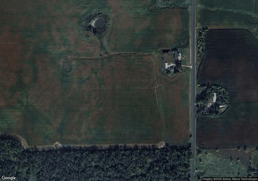
Map
Nearby Homes
- 0 Dickinson Rd Unit 50196912
- 0 Dickinson Rd Unit 50307782
- 5678 Morrison Rd
- 0 Cth W Unit 50320912
- 1445 Rockland Heights Rd
- 2103 Deer Haven Ct
- 941 Ledge Way
- 691 Lime Rock Place
- 4432 Mill Rd
- 7207 Fairview Rd
- 6500 Deuster Rd
- 4215 Hill Rd
- 8268 Cth W
- 4224 Cth Pp
- 6783 Bunker Hill Rd
- 3629 Creekview Rd
- 2226 Laddie Trail
- 0 Sunnyview Rd
- 1750 Limestone Trail
- 1639 Grace Garden Way
- 6550 Morrison Rd
- 6623 Morrison Rd
- 6521 Morrison Rd
- 6680 Morrison Rd
- 6473 Morrison Rd
- 3274 Cooperstown Rd
- 3045 Ridge Ct
- 3035 Ridge Ct
- 3336 Cooperstown Rd
- 3321 Cooperstown Rd
- 3021 Ridge Ct
- 3159 Lark Rd
- 3007 Ridge Ct
- 6398 Morrison Rd
- 3171 Lark Rd
- 2941 Ridge Ct
- 3372 Cooperstown Rd
- 2995 Ridge Ct
- 3282 Lark Rd
- 2981 Ridge Ct
Your Personal Tour Guide
Ask me questions while you tour the home.