6599 E State Highway 76 Anderson, MO 64831
Estimated Value: $462,000 - $533,000
4
Beds
3
Baths
3,800
Sq Ft
$131/Sq Ft
Est. Value
About This Home
This home is located at 6599 E State Highway 76, Anderson, MO 64831 and is currently estimated at $499,034, approximately $131 per square foot. 6599 E State Highway 76 is a home located in McDonald County with nearby schools including McDonald County High School.
Ownership History
Date
Name
Owned For
Owner Type
Purchase Details
Closed on
Jun 12, 2025
Sold by
Wilson B Diane
Bought by
Quade Wilson and Lindsay Wilson Lindsay
Current Estimated Value
Purchase Details
Closed on
Jan 13, 2012
Sold by
Evenson Robert M and Evenson Pepper
Bought by
Wilson Terrill Shane and Wilson Tasha J
Home Financials for this Owner
Home Financials are based on the most recent Mortgage that was taken out on this home.
Original Mortgage
$105,600
Interest Rate
6.25%
Mortgage Type
New Conventional
Create a Home Valuation Report for This Property
The Home Valuation Report is an in-depth analysis detailing your home's value as well as a comparison with similar homes in the area
Purchase History
| Date | Buyer | Sale Price | Title Company |
|---|---|---|---|
| Quade Wilson | -- | None Listed On Document | |
| Quade Wilson | -- | None Listed On Document | |
| Wilson Terrill Shane | -- | None Available |
Source: Public Records
Mortgage History
| Date | Status | Borrower | Loan Amount |
|---|---|---|---|
| Previous Owner | Wilson Terrill Shane | $105,600 |
Source: Public Records
Tax History
| Year | Tax Paid | Tax Assessment Tax Assessment Total Assessment is a certain percentage of the fair market value that is determined by local assessors to be the total taxable value of land and additions on the property. | Land | Improvement |
|---|---|---|---|---|
| 2025 | $1,927 | $49,030 | $0 | $0 |
| 2024 | $1,927 | $45,190 | $0 | $0 |
| 2023 | $1,927 | $45,190 | $0 | $0 |
| 2022 | $1,806 | $45,580 | $0 | $0 |
| 2021 | $1,806 | $45,580 | $0 | $0 |
| 2020 | $1,588 | $39,940 | $0 | $0 |
| 2019 | $1,587 | $39,940 | $0 | $0 |
| 2018 | $929 | $23,340 | $0 | $0 |
| 2017 | $929 | $23,340 | $0 | $0 |
| 2016 | $906 | $22,770 | $0 | $0 |
| 2015 | -- | $22,770 | $0 | $0 |
| 2014 | -- | $22,770 | $0 | $0 |
Source: Public Records
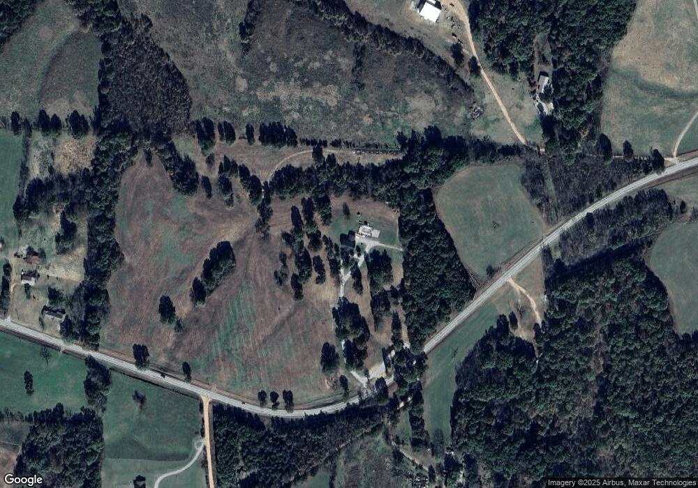
Map
Nearby Homes
- 116 Hambrich Hollow Rd
- 383 Atkins Rd
- 144 Serenity Ln
- 10 +/- Acres Atkins Rd
- 16 +/- Acres Atkins Rd
- 65 Acres Plainview Rd
- 3150 Route Hwy W
- 26 +/- Acr Atkins Rd
- 1471 Walnut Rd
- 2332 Packet Hollow Rd
- 2599 E State Highway 76
- 2259 Racetrack Hollow Rd
- 184 Key Rd
- 2552 State Highway V
- 2552 S Highway V
- 000 Speedway Rd
- 110 & 128 Mackenzie Ln
- 000 Buckeye Ln
- 5641 State Highway K
- 439 Crossing Rd
- 6599 E State Highway 76
- 6599 Missouri 76
- 6883 E State Highway 76
- 0 Hwy 76 Bunker Hill Hwy Unit 695325
- - Bunker Hill Rd
- Tbd Bunker Hill Rd
- 88 Duke Rd
- 561 Bunker Hill Rd
- 6006 E State Highway 76
- 7236 E State Highway 76
- 7217 E State Highway 76
- 337 Route Cc
- 855 Bunker Hill Rd
- 7229 E State Highway 76
- 5819 E State Highway 76
- 644 Dalton Rd
- 7232 E State Highway 76
- 7232 E State Highway 76
- 7232 E State Highway 76
- 7232 E State Highway 76
Your Personal Tour Guide
Ask me questions while you tour the home.