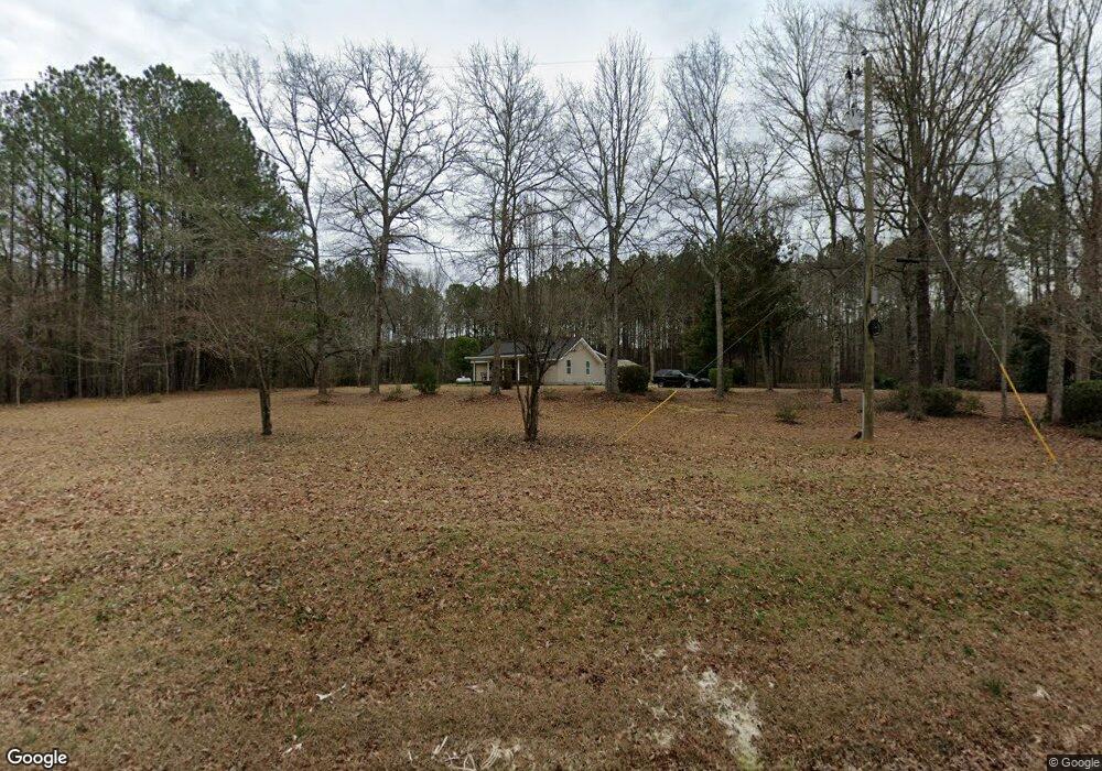
6599 Ga Highway 42 N Forsyth, GA 31029
Estimated Value: $98,000 - $347,000
3
Beds
3
Baths
1,350
Sq Ft
$171/Sq Ft
Est. Value
About This Home
This home is located at 6599 Ga Highway 42 N, Forsyth, GA 31029 and is currently estimated at $230,199, approximately $170 per square foot. 6599 Ga Highway 42 N is a home located in Monroe County with nearby schools including Katherine B. Sutton Elementary School and Mary Persons High School.
Ownership History
Date
Name
Owned For
Owner Type
Purchase Details
Closed on
Sep 21, 2018
Sold by
Mccord Anthony R
Bought by
Mccord Anthony R and Mccord Connie S
Current Estimated Value
Purchase Details
Closed on
Oct 20, 2010
Sold by
American Forest Inc
Bought by
Caflisch John L
Home Financials for this Owner
Home Financials are based on the most recent Mortgage that was taken out on this home.
Original Mortgage
$42,618
Interest Rate
4.38%
Mortgage Type
Future Advance Clause Open End Mortgage
Purchase Details
Closed on
Jul 30, 2009
Sold by
Us Bank National Associati
Bought by
American Forest Inc
Purchase Details
Closed on
May 25, 2006
Bought by
Holt Cathy D and Holt Leonidas Melton
Home Financials for this Owner
Home Financials are based on the most recent Mortgage that was taken out on this home.
Original Mortgage
$100,000
Interest Rate
6.5%
Mortgage Type
New Conventional
Create a Home Valuation Report for This Property
The Home Valuation Report is an in-depth analysis detailing your home's value as well as a comparison with similar homes in the area
Home Values in the Area
Average Home Value in this Area
Purchase History
| Date | Buyer | Sale Price | Title Company |
|---|---|---|---|
| Mccord Anthony R | -- | -- | |
| Mccord Anthony R | $45,000 | -- | |
| Caflisch John L | $47,000 | -- | |
| American Forest Inc | $29,000 | -- | |
| Holt Cathy D | -- | -- |
Source: Public Records
Mortgage History
| Date | Status | Borrower | Loan Amount |
|---|---|---|---|
| Previous Owner | American Forest Inc | $42,618 | |
| Previous Owner | Holt Cathy D | $100,000 |
Source: Public Records
Tax History Compared to Growth
Tax History
| Year | Tax Paid | Tax Assessment Tax Assessment Total Assessment is a certain percentage of the fair market value that is determined by local assessors to be the total taxable value of land and additions on the property. | Land | Improvement |
|---|---|---|---|---|
| 2024 | $326 | $44,080 | $11,640 | $32,440 |
| 2023 | $326 | $38,800 | $11,640 | $27,160 |
| 2022 | $441 | $23,000 | $11,640 | $11,360 |
| 2021 | $187 | $18,680 | $11,640 | $7,040 |
| 2020 | $192 | $18,680 | $11,640 | $7,040 |
| 2019 | $174 | $18,680 | $11,640 | $7,040 |
| 2018 | $103 | $20,400 | $11,640 | $8,760 |
| 2017 | $452 | $15,560 | $9,280 | $6,280 |
| 2016 | $98 | $15,560 | $9,280 | $6,280 |
| 2015 | $156 | $17,920 | $11,640 | $6,280 |
| 2014 | $151 | $17,920 | $11,640 | $6,280 |
Source: Public Records
Map
Nearby Homes
- 160 Aaron Ct
- 6418 Georgia 42
- 49 Homestead Cir Unit LOT 49A
- 120 Homestead Cir
- 40 Timber Dr
- 381 Homestead Cir
- 1538 Freeman Rd
- 3528 Highway 42 S
- 788 Teagle Rd
- 120 Torbet Rd
- 674 Stokes Store Rd
- 0 Garr Rd Unit 10439858
- 343 Torbet Dr
- 1649 Stokes Store Rd
- 1649 Stokes Store Rd Unit 52
- 1659 Stokes Store Rd
- 119 Mack Cir
- 739 Westbrooks Rd
- 0 Duncan Cir Unit 24915548
- 1653 Stokes Store Rd Unit 51
- 6599 Georgia 42
- 6599 Ga Hwy
- 6577 Ga Highway 42 N
- 6589 Ga Highway 42 N
- 48 Craig Rd
- 6684 Ga Highway 42 N
- 103 Craig Rd
- 0 Hwy 42 and Craig Rd Unit PARCEL 1 8259966
- 0 Hwy 42 and Craig Rd Unit 1 7527778
- 0 Hwy 42 and Craig Rd Unit 2&3 7527771
- 0 Hwy 42 and Craig Rd Unit PARCEL 1 7527750
- 153 Craig Rd
- 202 Gordon Rd
- 191 Aaron Ct
- 220 Craig Rd
- 101 Gordon Rd
- 200 Aaron Ct
- 109 Jacob Ct
- 111 Jacob Ct
- 201 Gordon Rd