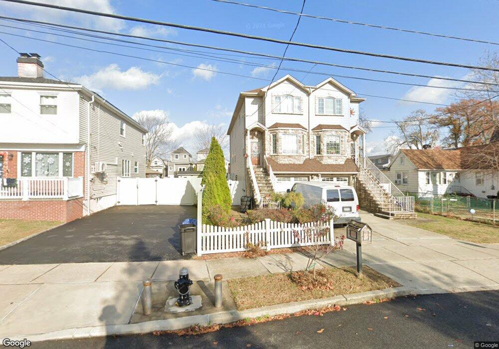
65A Goodall St Staten Island, NY 10308
Great Kills NeighborhoodEstimated Value: $742,191 - $889,000
--
Bed
4
Baths
1,680
Sq Ft
$482/Sq Ft
Est. Value
About This Home
This home is located at 65A Goodall St, Staten Island, NY 10308 and is currently estimated at $809,548, approximately $481 per square foot. 65A Goodall St is a home located in Richmond County with nearby schools including P.S. 8 Shirlee Solomon, Myra S. Barnes Intermediate School 24, and New Dorp High School.
Ownership History
Date
Name
Owned For
Owner Type
Purchase Details
Closed on
Oct 6, 2009
Sold by
Brighton Street Llc
Bought by
Borodin Natalya and Bruegger Peter
Current Estimated Value
Home Financials for this Owner
Home Financials are based on the most recent Mortgage that was taken out on this home.
Original Mortgage
$412,000
Outstanding Balance
$268,755
Interest Rate
5.06%
Mortgage Type
New Conventional
Estimated Equity
$540,793
Create a Home Valuation Report for This Property
The Home Valuation Report is an in-depth analysis detailing your home's value as well as a comparison with similar homes in the area
Home Values in the Area
Average Home Value in this Area
Purchase History
| Date | Buyer | Sale Price | Title Company |
|---|---|---|---|
| Borodin Natalya | $524,398 | None Available |
Source: Public Records
Mortgage History
| Date | Status | Borrower | Loan Amount |
|---|---|---|---|
| Open | Borodin Natalya | $412,000 |
Source: Public Records
Tax History Compared to Growth
Tax History
| Year | Tax Paid | Tax Assessment Tax Assessment Total Assessment is a certain percentage of the fair market value that is determined by local assessors to be the total taxable value of land and additions on the property. | Land | Improvement |
|---|---|---|---|---|
| 2025 | $7,063 | $45,720 | $6,368 | $39,352 |
| 2024 | $7,063 | $43,560 | $6,684 | $36,876 |
| 2023 | $7,088 | $34,901 | $6,081 | $28,820 |
| 2022 | $6,238 | $44,280 | $8,280 | $36,000 |
| 2021 | $6,537 | $46,680 | $8,280 | $38,400 |
| 2020 | $6,203 | $42,240 | $8,280 | $33,960 |
| 2019 | $6,130 | $36,720 | $8,280 | $28,440 |
| 2018 | $5,929 | $29,084 | $6,271 | $22,813 |
| 2017 | $5,593 | $27,438 | $6,935 | $20,503 |
| 2016 | $5,175 | $25,885 | $6,603 | $19,282 |
| 2015 | $4,686 | $24,420 | $6,900 | $17,520 |
| 2014 | $4,686 | $24,420 | $6,900 | $17,520 |
Source: Public Records
Map
Nearby Homes
- 198 Wiman Ave
- 72 Goodall St
- 224 Wiman Ave
- 111 Goodall St
- 61 Heinz Ave
- 98 Glover St
- 22 Harbour Ct Unit 30
- 23 Harbour Ct Unit 23
- 77 Harbour Ct Unit 77
- 4028 Hylan Blvd
- 46 Harbour Ct Unit 46
- 292 Tennyson Dr
- 60 Harbour Ct Unit 60
- 9 Russell St
- 11 Russell St
- 79 Robinson Ave
- 268 Nelson Ave
- 56 William Ave
- 172 Armstrong Ave
- 346 Cleveland Ave
- 65 Goodall St
- 65B Goodall St
- 63 Goodall St
- 61 Goodall St
- 67 Goodall St Unit 69
- 67-69 Goodall St
- 59 Goodall St
- 0 Goodall St
- 69 Goodall St
- 57 Goodall St
- 73-73A Goodall St
- 73 Goodall St Unit 73A
- 53 Goodall St
- 204 Wiman Ave
- 200 Wiman Ave
- 206 Wiman Ave
- 75 Goodall St
- 51 Goodall St
- 210 Wiman Ave
- 194 Wiman Ave