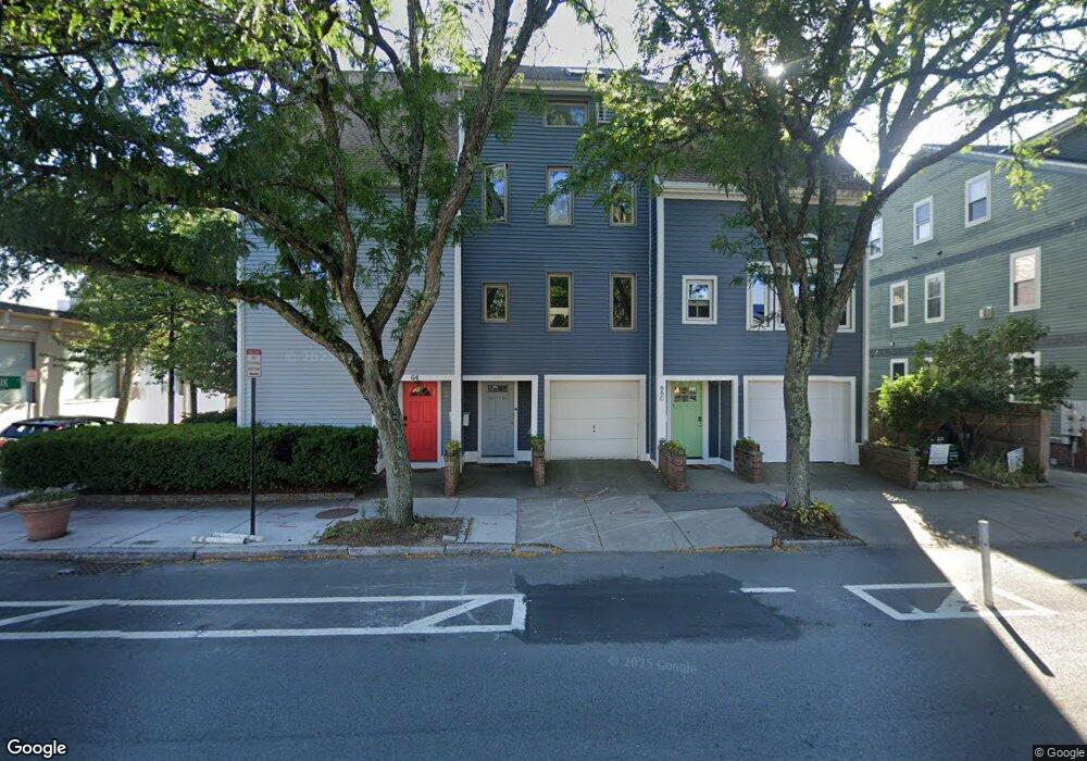
66 1/2 Hampshire St Cambridge, MA 02139
The Port NeighborhoodEstimated Value: $1,424,000 - $1,834,000
2
Beds
4
Baths
1,821
Sq Ft
$908/Sq Ft
Est. Value
About This Home
This home is located at 66 1/2 Hampshire St, Cambridge, MA 02139 and is currently estimated at $1,654,257, approximately $908 per square foot. 66 1/2 Hampshire St is a home located in Middlesex County with nearby schools including Prospect Hill Academy Charter School and Community Charter School of Cambridge.
Ownership History
Date
Name
Owned For
Owner Type
Purchase Details
Closed on
Nov 13, 2017
Sold by
Nelson Kathy J
Bought by
Stevens Michael
Current Estimated Value
Home Financials for this Owner
Home Financials are based on the most recent Mortgage that was taken out on this home.
Original Mortgage
$600,000
Outstanding Balance
$502,505
Interest Rate
3.83%
Mortgage Type
New Conventional
Estimated Equity
$1,151,752
Purchase Details
Closed on
Nov 30, 1995
Sold by
Reischmann Scott M and Thresher Michelle L
Bought by
Latty Barbar F
Home Financials for this Owner
Home Financials are based on the most recent Mortgage that was taken out on this home.
Original Mortgage
$174,150
Interest Rate
7.37%
Mortgage Type
Purchase Money Mortgage
Create a Home Valuation Report for This Property
The Home Valuation Report is an in-depth analysis detailing your home's value as well as a comparison with similar homes in the area
Home Values in the Area
Average Home Value in this Area
Purchase History
| Date | Buyer | Sale Price | Title Company |
|---|---|---|---|
| Stevens Michael | $1,108,000 | -- | |
| Stevens Michael | $1,108,000 | -- | |
| Latty Barbar F | $193,500 | -- | |
| Latty Barbar F | $193,500 | -- |
Source: Public Records
Mortgage History
| Date | Status | Borrower | Loan Amount |
|---|---|---|---|
| Open | Stevens Michael | $600,000 | |
| Closed | Stevens Michael | $600,000 | |
| Previous Owner | Latty Barbar F | $174,150 |
Source: Public Records
Tax History Compared to Growth
Tax History
| Year | Tax Paid | Tax Assessment Tax Assessment Total Assessment is a certain percentage of the fair market value that is determined by local assessors to be the total taxable value of land and additions on the property. | Land | Improvement |
|---|---|---|---|---|
| 2025 | $8,673 | $1,365,800 | $456,100 | $909,700 |
| 2024 | $8,122 | $1,371,900 | $501,300 | $870,600 |
| 2023 | $7,174 | $1,224,200 | $467,100 | $757,100 |
| 2022 | $6,943 | $1,172,800 | $503,600 | $669,200 |
| 2021 | $6,323 | $1,080,900 | $483,600 | $597,300 |
| 2020 | $6,058 | $1,053,500 | $487,100 | $566,400 |
| 2019 | $5,956 | $1,002,700 | $477,800 | $524,900 |
| 2018 | $5,703 | $906,700 | $396,200 | $510,500 |
| 2017 | $5,443 | $838,600 | $354,300 | $484,300 |
| 2016 | $5,139 | $735,200 | $277,400 | $457,800 |
| 2015 | $5,067 | $648,000 | $237,700 | $410,300 |
| 2014 | $4,936 | $589,000 | $184,100 | $404,900 |
Source: Public Records
Map
Nearby Homes
- 63 Bristol St Unit 63
- 294-302 Windsor St
- 63 Plymouth St
- 94 Hampshire St Unit B
- 208 Windsor St
- 350 Windsor St Unit 1
- 350 Windsor St Unit 2
- 182 Harvard St Unit 3
- 51 Market St Unit 2
- 17 York Place Unit 1
- 30 Union St Unit 1
- 64 Elm St
- 66 Elm St
- 114 Elm St
- 134 Elm St
- 43 Lincoln St
- 308 Broadway Unit 308
- 25 Marney St
- 244 Norfolk St Unit 244
- 1 Marney St
- 181 Clark St
- 64 Hampshire St
- 66 Hampshire St
- 66 Hampshire St Unit B
- 70 1/2 Hampshire St
- 70 1/2 Hampshire St Unit 1
- 183 Clark St
- 68 Hampshire St Unit 70
- 68 Hampshire St Unit 70
- 68 Hampshire St Unit 70
- 68 Hampshire St Unit 70
- 2 Crossland St
- 65 Hampshire St
- 78 Bristol St
- 86 Bristol St
- 82 Bristol St
- 82 Bristol St
- 72 Hampshire St Unit 72
- 72 Hampshire St Unit 74
- 72 Hampshire St Unit 74