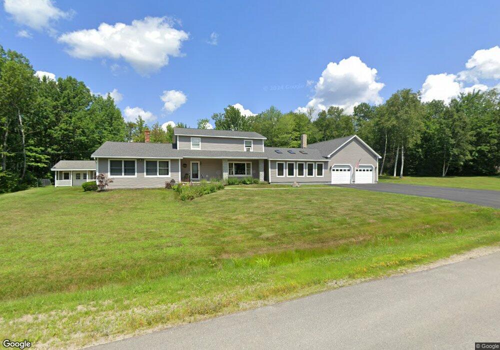
66 Albert Dr Lincoln, ME 04457
Estimated Value: $334,000 - $467,000
--
Bed
--
Bath
--
Sq Ft
1.38
Acres
About This Home
This home is located at 66 Albert Dr, Lincoln, ME 04457 and is currently estimated at $404,367. 66 Albert Dr is a home with nearby schools including Ella P. Burr School, Mattanawcook Junior High School, and Mattanawcook Academy.
Ownership History
Date
Name
Owned For
Owner Type
Purchase Details
Closed on
Apr 2, 2012
Sold by
Thornton Richard J and Thornton Richard
Bought by
Young Isaac J and Malone Mallory J
Current Estimated Value
Home Financials for this Owner
Home Financials are based on the most recent Mortgage that was taken out on this home.
Original Mortgage
$202,500
Outstanding Balance
$138,667
Interest Rate
3.88%
Mortgage Type
Commercial
Estimated Equity
$265,700
Create a Home Valuation Report for This Property
The Home Valuation Report is an in-depth analysis detailing your home's value as well as a comparison with similar homes in the area
Home Values in the Area
Average Home Value in this Area
Purchase History
| Date | Buyer | Sale Price | Title Company |
|---|---|---|---|
| Young Isaac J | -- | -- |
Source: Public Records
Mortgage History
| Date | Status | Borrower | Loan Amount |
|---|---|---|---|
| Open | Young Isaac J | $202,500 |
Source: Public Records
Tax History Compared to Growth
Tax History
| Year | Tax Paid | Tax Assessment Tax Assessment Total Assessment is a certain percentage of the fair market value that is determined by local assessors to be the total taxable value of land and additions on the property. | Land | Improvement |
|---|---|---|---|---|
| 2025 | $8,001 | $459,800 | $66,000 | $393,800 |
| 2024 | $7,280 | $353,400 | $50,500 | $302,900 |
| 2023 | $6,901 | $268,300 | $35,300 | $233,000 |
| 2022 | $5,903 | $268,300 | $35,300 | $233,000 |
| 2021 | $5,017 | $268,300 | $35,300 | $233,000 |
| 2020 | $4,940 | $228,700 | $34,500 | $194,200 |
| 2019 | $5,283 | $228,700 | $34,500 | $194,200 |
| 2018 | $4,539 | $196,500 | $26,800 | $169,700 |
| 2017 | $4,431 | $196,500 | $26,800 | $169,700 |
| 2016 | $4,390 | $196,500 | $26,800 | $169,700 |
| 2015 | $4,362 | $196,500 | $26,800 | $169,700 |
| 2014 | $4,402 | $196,500 | $26,800 | $169,700 |
| 2013 | $4,512 | $196,500 | $26,800 | $169,700 |
Source: Public Records
Map
Nearby Homes
- 344 Enfield Rd
- 112 Penobscot Valley Ave
- 14 Pinkham St
- 19 Pinkham St
- 4 Pinkham St
- 26 Hale St
- 11 Tibbetts Dr
- 31 Edwards St
- 40 River Rd
- 557 Enfield Rd
- 68 W West Broadway
- 6 Mattanawcook St
- 49 W Broadway
- 6 Katahdin
- 193 River Rd
- 12 Lakeview St
- 20 Morgan St
- 28 Libby St
- 131 Lee Rd
- 327 White Point Estates Rd