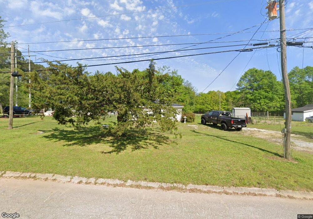
66 Andrews Rd Griffin, GA 30223
Spalding County NeighborhoodEstimated Value: $85,788 - $149,000
2
Beds
1
Bath
763
Sq Ft
$172/Sq Ft
Est. Value
About This Home
This home is located at 66 Andrews Rd, Griffin, GA 30223 and is currently estimated at $131,447, approximately $172 per square foot. 66 Andrews Rd is a home located in Spalding County with nearby schools including Cowan Road Elementary School, Cowan Road Middle School, and Griffin High School.
Ownership History
Date
Name
Owned For
Owner Type
Purchase Details
Closed on
Oct 27, 2005
Sold by
Gore Prop Llc
Bought by
Riordan Timothy E
Current Estimated Value
Home Financials for this Owner
Home Financials are based on the most recent Mortgage that was taken out on this home.
Original Mortgage
$100,000
Interest Rate
5.71%
Mortgage Type
New Conventional
Purchase Details
Closed on
Aug 14, 1990
Sold by
Holman Myrtis D
Bought by
Hingson Andy and Hingson Tracy
Purchase Details
Closed on
Nov 1, 1973
Sold by
Holman Henry A
Bought by
Holman Myrtis D
Purchase Details
Closed on
Jan 31, 1946
Bought by
Holman Henry A
Create a Home Valuation Report for This Property
The Home Valuation Report is an in-depth analysis detailing your home's value as well as a comparison with similar homes in the area
Home Values in the Area
Average Home Value in this Area
Purchase History
| Date | Buyer | Sale Price | Title Company |
|---|---|---|---|
| Riordan Timothy E | $77,000 | -- | |
| Hingson Andy | $19,000 | -- | |
| Holman Myrtis D | -- | -- | |
| Holman Henry A | -- | -- |
Source: Public Records
Mortgage History
| Date | Status | Borrower | Loan Amount |
|---|---|---|---|
| Closed | Riordan Timothy E | $100,000 |
Source: Public Records
Tax History Compared to Growth
Tax History
| Year | Tax Paid | Tax Assessment Tax Assessment Total Assessment is a certain percentage of the fair market value that is determined by local assessors to be the total taxable value of land and additions on the property. | Land | Improvement |
|---|---|---|---|---|
| 2024 | $418 | $11,674 | $3,405 | $8,269 |
| 2023 | $418 | $11,674 | $3,405 | $8,269 |
| 2022 | $361 | $9,918 | $2,766 | $7,152 |
| 2021 | $305 | $8,376 | $2,766 | $5,610 |
| 2020 | $306 | $8,376 | $2,766 | $5,610 |
| 2019 | $312 | $8,376 | $2,766 | $5,610 |
| 2018 | $297 | $7,784 | $2,766 | $5,018 |
| 2017 | $289 | $7,784 | $2,766 | $5,018 |
| 2016 | $295 | $7,785 | $2,766 | $5,018 |
| 2015 | $303 | $7,785 | $2,766 | $5,018 |
| 2014 | $309 | $7,785 | $2,766 | $5,018 |
Source: Public Records
Map
Nearby Homes
- 78 Helen Dr
- 813 Vineyard Rd
- 313 Sammy Cir
- 111 Patterson Rd
- 110 Janie Ln
- 611A Seminole Dr
- 1022 Serene Lake Dr
- 208 Tyler Trace
- 130 N Morgan Dr
- 441 Hickory Ln
- 204 Vineyard Ridge Dr
- 1156 Burgundy Dr
- 114 King Richard Dr
- 1115 Burgundy Dr
- 111 Vineyard Rd
- 4920 Fayetteville Rd
- 4940 Fayetteville Rd
- 4946 Fayetteville Rd
- 205 Westmoreland Dr
- 230 Manley Rd
- 76 Andrews Rd
- 46 Andrews Rd
- 100 Andrews Rd
- 99 Andrews Rd
- 108 Andrews Rd
- 713 Vineyard Rd
- 699 Vineyard Rd
- 127 Jones Rd
- 0 Vineyard Rd 0
- 121 Andrews Rd
- 112 Vineyard Place
- 110 Vineyard Place
- 114 Vineyard Place
- 108 Vineyard Place
- 743 Vineyard Road 0
- 743 Vineyard Rd
- 743 S Vineyard Road S 0
- 140 Jones Rd Unit 1A
- 140 Jones Rd
- 119 Jones Rd