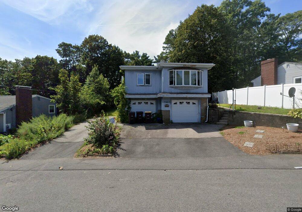
66 Anthony Rd East Weymouth, MA 02189
East Weymouth NeighborhoodEstimated Value: $554,000 - $664,000
3
Beds
2
Baths
1,228
Sq Ft
$497/Sq Ft
Est. Value
About This Home
This home is located at 66 Anthony Rd, East Weymouth, MA 02189 and is currently estimated at $610,120, approximately $496 per square foot. 66 Anthony Rd is a home located in Norfolk County with nearby schools including Abigail Adams Middle School, Academy Avenue Elementary School, and Weymouth Middle School Chapman.
Ownership History
Date
Name
Owned For
Owner Type
Purchase Details
Closed on
Mar 31, 2009
Sold by
Farley Robert T and Hatfield Michelle A
Bought by
Hatfield Michelle A
Current Estimated Value
Home Financials for this Owner
Home Financials are based on the most recent Mortgage that was taken out on this home.
Original Mortgage
$212,500
Outstanding Balance
$135,770
Interest Rate
5.14%
Mortgage Type
Purchase Money Mortgage
Estimated Equity
$474,350
Purchase Details
Closed on
Oct 19, 2001
Sold by
Barry Rt
Bought by
Farley Norma L and Farley Robert T
Home Financials for this Owner
Home Financials are based on the most recent Mortgage that was taken out on this home.
Original Mortgage
$200,000
Interest Rate
6.92%
Mortgage Type
Purchase Money Mortgage
Purchase Details
Closed on
Oct 27, 1988
Sold by
Bates Laura M
Bought by
Oconnell Barbara J
Create a Home Valuation Report for This Property
The Home Valuation Report is an in-depth analysis detailing your home's value as well as a comparison with similar homes in the area
Home Values in the Area
Average Home Value in this Area
Purchase History
| Date | Buyer | Sale Price | Title Company |
|---|---|---|---|
| Hatfield Michelle A | -- | -- | |
| Farley Norma L | $265,000 | -- | |
| Oconnell Barbara J | $185,000 | -- |
Source: Public Records
Mortgage History
| Date | Status | Borrower | Loan Amount |
|---|---|---|---|
| Open | Hatfield Michelle A | $212,500 | |
| Previous Owner | Farley Norma L | $200,000 | |
| Previous Owner | Oconnell Barbara J | $148,000 |
Source: Public Records
Tax History Compared to Growth
Tax History
| Year | Tax Paid | Tax Assessment Tax Assessment Total Assessment is a certain percentage of the fair market value that is determined by local assessors to be the total taxable value of land and additions on the property. | Land | Improvement |
|---|---|---|---|---|
| 2025 | $5,820 | $576,200 | $212,000 | $364,200 |
| 2024 | $5,637 | $548,900 | $201,900 | $347,000 |
| 2023 | $5,534 | $529,600 | $186,900 | $342,700 |
| 2022 | $5,374 | $468,900 | $173,100 | $295,800 |
| 2021 | $5,230 | $445,500 | $173,100 | $272,400 |
| 2020 | $5,043 | $423,100 | $173,100 | $250,000 |
| 2019 | $4,963 | $409,500 | $166,400 | $243,100 |
| 2018 | $4,799 | $383,900 | $158,500 | $225,400 |
| 2017 | $4,728 | $369,100 | $151,000 | $218,100 |
| 2016 | $4,544 | $355,000 | $145,200 | $209,800 |
| 2015 | $4,350 | $337,200 | $145,200 | $192,000 |
| 2014 | $4,166 | $313,200 | $135,100 | $178,100 |
Source: Public Records
Map
Nearby Homes
- 56 Putnam St
- 425 East St
- 30 Puritan Rd
- 29-31 Broad Street Place
- 575 Broad St Unit 305
- 575 Broad St Unit 215
- 20 Richards Rd
- 2 Winstead Rd
- 669 Commercial St
- 43 Flint Locke Dr
- 303 Middle St
- 209 Lake St Unit 69
- 367 Essex St
- 286 Essex St
- 17 Grove St
- 320 Green St
- 38 School St Unit 2
- 42 Sundin Rd
- 12 Klasson Ln
- 1297 Pleasant St