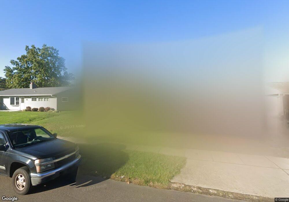
66 Balsam Rd Levittown, PA 19057
Estimated Value: $411,000 - $456,450
4
Beds
2
Baths
2,413
Sq Ft
$183/Sq Ft
Est. Value
About This Home
This home is located at 66 Balsam Rd, Levittown, PA 19057 and is currently estimated at $440,613, approximately $182 per square foot. 66 Balsam Rd is a home located in Bucks County with nearby schools including Truman Senior High School, First Presbyterian Church School, and Hope Lutheran School.
Ownership History
Date
Name
Owned For
Owner Type
Purchase Details
Closed on
Jul 13, 2023
Sold by
Mauro Stephen G and Mauro Carol Ann
Bought by
Mauro Stephen J and Mauro Carol Ann
Current Estimated Value
Home Financials for this Owner
Home Financials are based on the most recent Mortgage that was taken out on this home.
Original Mortgage
$288,000
Outstanding Balance
$280,975
Interest Rate
6.67%
Mortgage Type
New Conventional
Estimated Equity
$159,638
Purchase Details
Closed on
Nov 13, 1998
Sold by
Kalkwarf Leonard V and Kalkwarf Beverly
Bought by
Mauro Stephen G and Mauro Carol Ann M
Home Financials for this Owner
Home Financials are based on the most recent Mortgage that was taken out on this home.
Original Mortgage
$75,650
Interest Rate
10%
Purchase Details
Closed on
Feb 10, 1981
Bought by
Kalkwarf Leonard and Kalkwarf Beverly
Create a Home Valuation Report for This Property
The Home Valuation Report is an in-depth analysis detailing your home's value as well as a comparison with similar homes in the area
Home Values in the Area
Average Home Value in this Area
Purchase History
| Date | Buyer | Sale Price | Title Company |
|---|---|---|---|
| Mauro Stephen J | -- | None Listed On Document | |
| Mauro Stephen G | $89,000 | -- | |
| Kalkwarf Leonard | $42,200 | -- |
Source: Public Records
Mortgage History
| Date | Status | Borrower | Loan Amount |
|---|---|---|---|
| Open | Mauro Stephen J | $288,000 | |
| Previous Owner | Mauro Stephen G | $75,650 |
Source: Public Records
Tax History Compared to Growth
Tax History
| Year | Tax Paid | Tax Assessment Tax Assessment Total Assessment is a certain percentage of the fair market value that is determined by local assessors to be the total taxable value of land and additions on the property. | Land | Improvement |
|---|---|---|---|---|
| 2025 | $6,561 | $24,160 | $4,600 | $19,560 |
| 2024 | $6,561 | $24,160 | $4,600 | $19,560 |
| 2023 | $6,513 | $24,160 | $4,600 | $19,560 |
| 2022 | $6,513 | $24,160 | $4,600 | $19,560 |
| 2021 | $6,513 | $24,160 | $4,600 | $19,560 |
| 2020 | $6,513 | $24,160 | $4,600 | $19,560 |
| 2019 | $6,489 | $24,160 | $4,600 | $19,560 |
| 2018 | $6,384 | $24,160 | $4,600 | $19,560 |
| 2017 | $6,287 | $24,160 | $4,600 | $19,560 |
| 2016 | $6,287 | $24,160 | $4,600 | $19,560 |
| 2015 | $4,876 | $24,160 | $4,600 | $19,560 |
| 2014 | $4,876 | $24,160 | $4,600 | $19,560 |
Source: Public Records
Map
Nearby Homes
- 246 Colette Ct
- 150 Naomi Ct Unit 811
- 1019 Green Ln
- 101 Idlewild Rd
- 50 Micahill Rd
- 23 Misty Pine Rd
- 57 Middle Rd
- 86 Wildflower Rd
- 62 Indian Creek Dr
- 212 Plumbridge Dr
- 145 Mill Dr
- 35 Parkside Cir
- 47 Plumbridge Dr
- 84 Whitewood Dr
- 2519 Woodlawn Dr
- 3021 Bath Rd
- 38 Plumtree Rd
- 19 Prunewood Rd
- 2205 Liberator St
- 35 Inland Rd