66 Birch Island Rd Webster, MA 01570
Estimated Value: $421,000 - $502,000
3
Beds
2
Baths
1,791
Sq Ft
$259/Sq Ft
Est. Value
About This Home
This home is located at 66 Birch Island Rd, Webster, MA 01570 and is currently estimated at $463,620, approximately $258 per square foot. 66 Birch Island Rd is a home located in Worcester County with nearby schools including Park Avenue Elementary School, Webster Middle School, and Bartlett High School.
Ownership History
Date
Name
Owned For
Owner Type
Purchase Details
Closed on
Nov 25, 2014
Sold by
Diaz Sophie L
Bought by
Zachariewicz Debra A and Orrico Cheryl
Current Estimated Value
Home Financials for this Owner
Home Financials are based on the most recent Mortgage that was taken out on this home.
Original Mortgage
$208,550
Outstanding Balance
$160,976
Interest Rate
4.13%
Mortgage Type
New Conventional
Estimated Equity
$302,644
Purchase Details
Closed on
May 11, 2000
Sold by
Trudell Richard J
Bought by
Prysheba Alex and Prysheba Lucy
Create a Home Valuation Report for This Property
The Home Valuation Report is an in-depth analysis detailing your home's value as well as a comparison with similar homes in the area
Home Values in the Area
Average Home Value in this Area
Purchase History
| Date | Buyer | Sale Price | Title Company |
|---|---|---|---|
| Zachariewicz Debra A | $215,000 | -- | |
| Prysheba Alex | $80,000 | -- |
Source: Public Records
Mortgage History
| Date | Status | Borrower | Loan Amount |
|---|---|---|---|
| Open | Zachariewicz Debra A | $208,550 | |
| Previous Owner | Prysheba Alex | $40,000 |
Source: Public Records
Tax History Compared to Growth
Tax History
| Year | Tax Paid | Tax Assessment Tax Assessment Total Assessment is a certain percentage of the fair market value that is determined by local assessors to be the total taxable value of land and additions on the property. | Land | Improvement |
|---|---|---|---|---|
| 2025 | $4,403 | $370,600 | $88,600 | $282,000 |
| 2024 | $4,250 | $348,900 | $77,500 | $271,400 |
| 2023 | $3,905 | $312,400 | $73,800 | $238,600 |
| 2022 | $3,656 | $261,900 | $71,600 | $190,300 |
| 2021 | $3,680 | $243,700 | $71,600 | $172,100 |
| 2020 | $3,550 | $235,700 | $71,600 | $164,100 |
| 2019 | $3,366 | $219,600 | $71,600 | $148,000 |
| 2018 | $3,218 | $209,100 | $71,600 | $137,500 |
| 2017 | $3,132 | $207,000 | $70,200 | $136,800 |
| 2016 | $3,139 | $207,300 | $70,200 | $137,100 |
| 2015 | $2,703 | $184,100 | $68,800 | $115,300 |
Source: Public Records
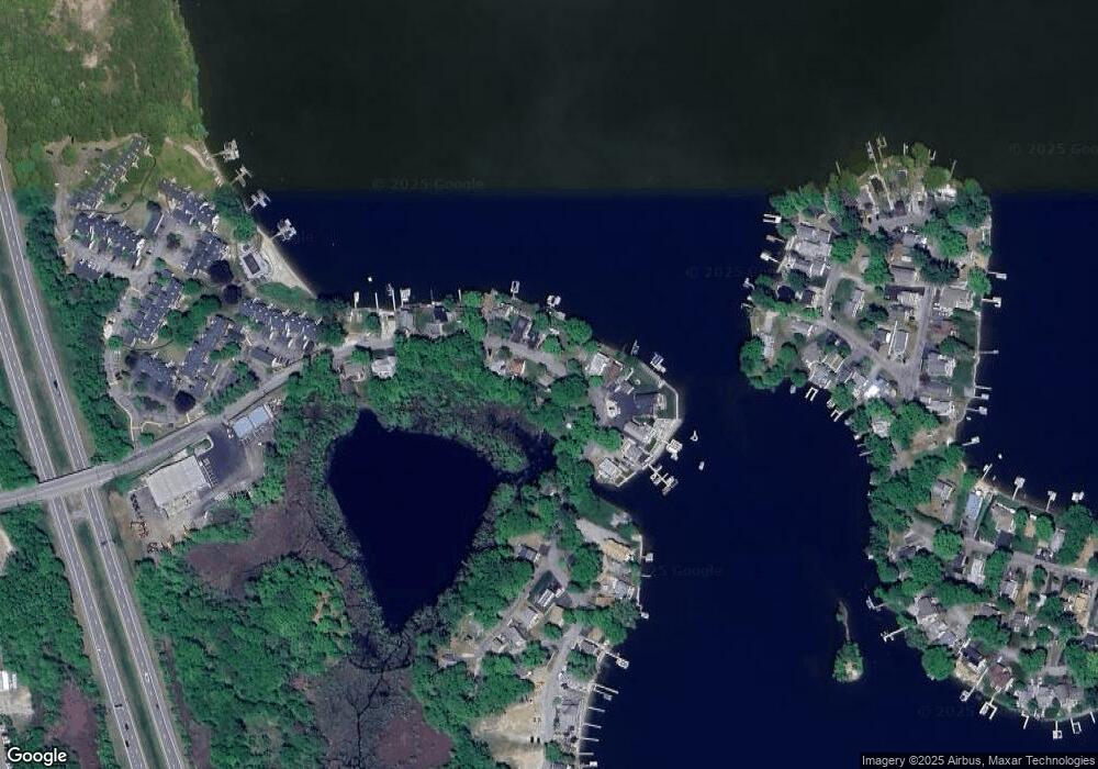
Map
Nearby Homes
- 125 Birch Island Rd
- 133 Thompson Rd
- 303 Treasure Island Rd
- 194 Killdeer Rd
- 0 Thompson Rd
- 107 Lake St Unit B
- 48 Ray St
- 95 Lake St
- 00 Juniper Ln
- 27 Lakeview Rd
- 23 Lakeview Rd
- 78 2nd Island Rd
- 13 Park Ave
- 8 Thompson Rd
- 6 Hillside Ave
- 20 Lakeview Rd
- 56 Whitcomb St
- 48 Lake St
- 31 Whitcomb St
- 14 Browns Brook Rd
- 66 Birch Island Rd Unit 66
- 66 Birch Island Rd
- 66 Birch Island Rd Unit 1
- 70 Birch Island Rd
- 62 Birch Island Rd
- 65 Birch Island Rd
- 61 Birch Island Rd
- 60 Birch Island Rd
- 59 Birch Island Rd
- 69 Birch Island Rd
- 77 Birch Island Rd
- 75 Birch Island Rd
- 71 Birch Island Rd
- 71 Birch Island Rd Unit 1
- 55 Birch Island Rd
- 73 Birch Island Rd
- 73 Birch Island Rd Unit 1
- 73 Birch Island Rd
- 53 Birch Island Rd
- 51 Birch Island Rd