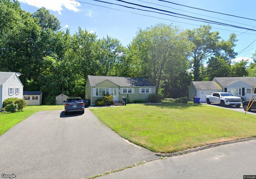
66 Brookside Cir Wethersfield, CT 06109
Estimated Value: $258,000 - $290,000
3
Beds
1
Bath
888
Sq Ft
$313/Sq Ft
Est. Value
About This Home
This home is located at 66 Brookside Cir, Wethersfield, CT 06109 and is currently estimated at $277,623, approximately $312 per square foot. 66 Brookside Cir is a home located in Hartford County with nearby schools including Emerson-Williams School, Silas Deane Middle School, and Wethersfield High School.
Ownership History
Date
Name
Owned For
Owner Type
Purchase Details
Closed on
Aug 13, 2002
Sold by
Connor Lyle M
Bought by
Laperriere Paul M
Current Estimated Value
Purchase Details
Closed on
Feb 28, 2001
Sold by
Department Of Housing & Urban Dev
Bought by
Conner Lyle Malcolm
Create a Home Valuation Report for This Property
The Home Valuation Report is an in-depth analysis detailing your home's value as well as a comparison with similar homes in the area
Home Values in the Area
Average Home Value in this Area
Purchase History
| Date | Buyer | Sale Price | Title Company |
|---|---|---|---|
| Laperriere Paul M | $137,500 | -- | |
| Conner Lyle Malcolm | $95,100 | -- |
Source: Public Records
Mortgage History
| Date | Status | Borrower | Loan Amount |
|---|---|---|---|
| Open | Conner Lyle Malcolm | $168,431 | |
| Closed | Conner Lyle Malcolm | $186,552 |
Source: Public Records
Tax History
| Year | Tax Paid | Tax Assessment Tax Assessment Total Assessment is a certain percentage of the fair market value that is determined by local assessors to be the total taxable value of land and additions on the property. | Land | Improvement |
|---|---|---|---|---|
| 2025 | $6,338 | $153,750 | $60,010 | $93,740 |
| 2024 | $4,735 | $109,550 | $58,110 | $51,440 |
| 2023 | $4,577 | $109,550 | $58,110 | $51,440 |
| 2022 | $4,500 | $109,550 | $58,110 | $51,440 |
| 2021 | $4,455 | $109,550 | $58,110 | $51,440 |
| 2020 | $4,458 | $109,550 | $58,110 | $51,440 |
| 2019 | $4,463 | $109,550 | $58,110 | $51,440 |
| 2018 | $4,445 | $109,000 | $53,900 | $55,100 |
| 2017 | $4,335 | $109,000 | $53,900 | $55,100 |
| 2016 | $4,201 | $109,000 | $53,900 | $55,100 |
| 2015 | $4,163 | $109,000 | $53,900 | $55,100 |
| 2014 | $4,005 | $109,000 | $53,900 | $55,100 |
Source: Public Records
Map
Nearby Homes
- 1 Brussels Ave
- 19 Albert Ave
- 1 Bristol St
- 219-221 Jordan Ln
- 192 Wolcott Hill Rd
- 55 Rutledge Rd
- 295 Ridge Rd Unit 8
- 64 Cromwell St
- 269 Pine Ln
- 144 Brown St
- 23 Hillcrest Ave
- 107 Harmund Place
- 17 Salem St
- 28 Bolton St
- 25-27 Griswold St
- 51 Hanmer St
- 317-319 Garden St
- 1 Fernwood St
- 63 Wells Farm Dr
- 137 Linnmoore St
- 62 Brookside Cir
- 70 Brookside Cir
- 56 Brookside Cir
- 71 Brookside Cir
- 74 Brookside Cir
- 59 Brookside Cir
- 55 Brookside Cir
- 50 Brookside Cir
- 80 Brookside Cir
- 94 Brookside Cir
- 102 Brookside Cir
- 49 Brookside Cir
- 106 Brookside Cir
- 44 Brookside Cir
- 82 Brookside Cir
- 112 Brookside Cir
- 43 Brookside Cir
- 40 Brookside Cir
- 116 Brookside Cir
- 97 Brookside Cir
Your Personal Tour Guide
Ask me questions while you tour the home.