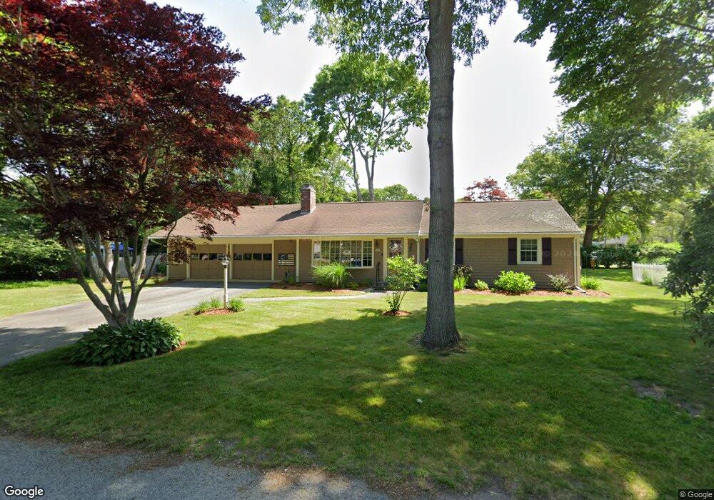
66 Buckskin Path Centerville, MA 02632
Centerville NeighborhoodEstimated Value: $600,158 - $668,000
3
Beds
2
Baths
1,501
Sq Ft
$427/Sq Ft
Est. Value
About This Home
This home is located at 66 Buckskin Path, Centerville, MA 02632 and is currently estimated at $641,040, approximately $427 per square foot. 66 Buckskin Path is a home located in Barnstable County with nearby schools including Centerville Elementary School, Barnstable United Elementary School, and Barnstable Intermediate School.
Ownership History
Date
Name
Owned For
Owner Type
Purchase Details
Closed on
May 1, 2000
Sold by
Johnson Van B and Johnson Catherine C
Bought by
Waage Peter B
Current Estimated Value
Purchase Details
Closed on
Jul 21, 1988
Sold by
Riley Edward Shea
Bought by
Johnson Catherine C
Home Financials for this Owner
Home Financials are based on the most recent Mortgage that was taken out on this home.
Original Mortgage
$100,000
Interest Rate
10.49%
Mortgage Type
Purchase Money Mortgage
Create a Home Valuation Report for This Property
The Home Valuation Report is an in-depth analysis detailing your home's value as well as a comparison with similar homes in the area
Home Values in the Area
Average Home Value in this Area
Purchase History
| Date | Buyer | Sale Price | Title Company |
|---|---|---|---|
| Waage Peter B | $193,000 | -- | |
| Johnson Catherine C | $125,000 | -- |
Source: Public Records
Mortgage History
| Date | Status | Borrower | Loan Amount |
|---|---|---|---|
| Previous Owner | Johnson Catherine C | $100,000 |
Source: Public Records
Tax History
| Year | Tax Paid | Tax Assessment Tax Assessment Total Assessment is a certain percentage of the fair market value that is determined by local assessors to be the total taxable value of land and additions on the property. | Land | Improvement |
|---|---|---|---|---|
| 2025 | $4,280 | $529,000 | $151,900 | $377,100 |
| 2024 | $4,106 | $525,800 | $151,900 | $373,900 |
| 2023 | $3,874 | $464,500 | $138,100 | $326,400 |
| 2022 | $3,707 | $384,500 | $102,300 | $282,200 |
| 2021 | $3,513 | $334,900 | $102,300 | $232,600 |
| 2020 | $3,563 | $325,100 | $102,300 | $222,800 |
| 2019 | $3,392 | $300,700 | $102,300 | $198,400 |
| 2018 | $3,062 | $272,900 | $107,700 | $165,200 |
| 2017 | $2,850 | $264,900 | $107,700 | $157,200 |
| 2016 | $2,896 | $265,700 | $108,500 | $157,200 |
| 2015 | $2,824 | $260,300 | $105,100 | $155,200 |
Source: Public Records
Map
Nearby Homes
- 81 Monomoy Cir
- 16 Bridgets Path
- 296 Buckskin Path
- 315 Prince Hinckley Rd
- 82 Yacht Club Rd
- 53 Meadow Farm Rd
- 149 Old Stage Rd
- 52 Meadow Farm Rd
- 200 Lumbert Mill Rd
- 900 Old Stage Rd
- 90 Guildford Rd
- 169 Cedric Rd
- 103 Pine Tree Dr
- 87 Foxglove Rd
- 7 Ebenezer
- 66 Tern Ln
- 62 Three Ponds Dr
- 1028 Old Falmouth Rd
- 1044 Old Falmouth Rd
- 40 Sachem Dr
- 16 Tuckernuck Rd
- 65 Buckskin Path
- 86 Buckskin Path
- 86 Buckskin Pa
- 46 Buckskin Path
- 11 Naushon Cir
- 26 Tuckernuck Rd
- 51 Buckskin Path
- 17 Tuckernuck Rd
- 81 Buckskin Path
- 15 Nobska Ln
- 27 Tuckernuck Rd
- 6 Chappaquiddick Rd
- 36 Tuckernuck Rd
- 16 Nobska Ln
- 60 Tomahawk Dr
- 99 Buckskin Path
- 19 Naushon Cir
- 20 Chappaquiddick Rd
- 19 Muskeget Ln
Your Personal Tour Guide
Ask me questions while you tour the home.