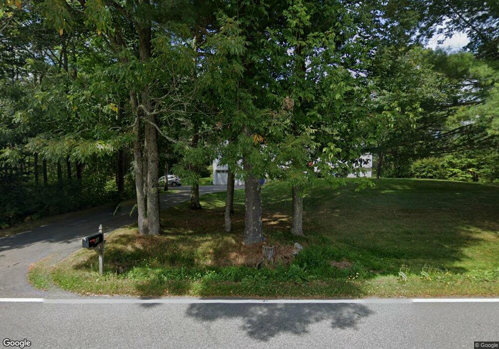
66 Burnham Rd Scarborough, ME 04074
Estimated Value: $504,943 - $706,000
3
Beds
1
Bath
1,899
Sq Ft
$327/Sq Ft
Est. Value
About This Home
This home is located at 66 Burnham Rd, Scarborough, ME 04074 and is currently estimated at $620,486, approximately $326 per square foot. 66 Burnham Rd is a home with nearby schools including Scarborough High School.
Create a Home Valuation Report for This Property
The Home Valuation Report is an in-depth analysis detailing your home's value as well as a comparison with similar homes in the area
Home Values in the Area
Average Home Value in this Area
Tax History Compared to Growth
Tax History
| Year | Tax Paid | Tax Assessment Tax Assessment Total Assessment is a certain percentage of the fair market value that is determined by local assessors to be the total taxable value of land and additions on the property. | Land | Improvement |
|---|---|---|---|---|
| 2024 | $4,944 | $452,300 | $149,400 | $302,900 |
| 2023 | $4,825 | $302,100 | $103,200 | $198,900 |
| 2022 | $4,649 | $302,100 | $103,200 | $198,900 |
| 2021 | $4,538 | $302,100 | $103,200 | $198,900 |
| 2020 | $4,800 | $302,400 | $103,500 | $198,900 |
| 2019 | $4,749 | $302,400 | $103,500 | $198,900 |
| 2017 | $3,895 | $236,200 | $103,600 | $132,600 |
| 2016 | $4,248 | $236,200 | $103,600 | $132,600 |
| 2015 | $3,659 | $236,200 | $103,600 | $132,600 |
| 2014 | $3,416 | $236,200 | $103,600 | $132,600 |
| 2013 | -- | $236,200 | $103,600 | $132,600 |
Source: Public Records
Map
Nearby Homes
- 15 Silver Brook Cir
- 20 River Woods
- 44 Evergreen Dr
- 14 David Dr
- Lot 72 Martell Way
- 13 Mathew Way
- 7 Mathew Way
- 10 Mathew Way
- 5 Kinney Rd
- 00 Deering Dr
- 91 C Broadturn Rd
- 380 Portland Rd
- Lot 1 & 2 Memory Ln
- 9 Burnham Rd
- 9 Bonita Way
- 79 Mitchell Hill Rd
- 110/009 Mast Hill Rd
- 7 Julia Dr
- 10 Saddle Ln
- 45 Mitchell Hill Rd