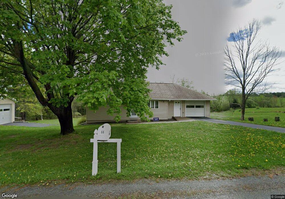
66 Burns Rd Waymart, PA 18472
Estimated Value: $239,785 - $326,000
2
Beds
2
Baths
1,216
Sq Ft
$241/Sq Ft
Est. Value
About This Home
This home is located at 66 Burns Rd, Waymart, PA 18472 and is currently estimated at $292,696, approximately $240 per square foot. 66 Burns Rd is a home located in Wayne County with nearby schools including Western Wayne High School.
Ownership History
Date
Name
Owned For
Owner Type
Purchase Details
Closed on
Nov 16, 2015
Sold by
Nepa Jeffrey W
Bought by
Kromko Thomas and Kromko Shirley
Current Estimated Value
Home Financials for this Owner
Home Financials are based on the most recent Mortgage that was taken out on this home.
Original Mortgage
$107,000
Outstanding Balance
$42,502
Interest Rate
3.06%
Mortgage Type
New Conventional
Estimated Equity
$250,194
Create a Home Valuation Report for This Property
The Home Valuation Report is an in-depth analysis detailing your home's value as well as a comparison with similar homes in the area
Home Values in the Area
Average Home Value in this Area
Purchase History
| Date | Buyer | Sale Price | Title Company |
|---|---|---|---|
| Kromko Thomas | $140,000 | None Available |
Source: Public Records
Mortgage History
| Date | Status | Borrower | Loan Amount |
|---|---|---|---|
| Open | Kromko Thomas | $107,000 |
Source: Public Records
Tax History Compared to Growth
Tax History
| Year | Tax Paid | Tax Assessment Tax Assessment Total Assessment is a certain percentage of the fair market value that is determined by local assessors to be the total taxable value of land and additions on the property. | Land | Improvement |
|---|---|---|---|---|
| 2025 | $2,950 | $182,400 | $55,000 | $127,400 |
| 2024 | $2,804 | $182,400 | $55,000 | $127,400 |
| 2023 | $3,971 | $182,400 | $55,000 | $127,400 |
| 2022 | $2,465 | $104,400 | $29,600 | $74,800 |
| 2021 | $2,404 | $104,400 | $29,600 | $74,800 |
| 2020 | $2,377 | $104,400 | $29,600 | $74,800 |
| 2019 | $2,246 | $104,400 | $29,600 | $74,800 |
| 2018 | $2,233 | $104,400 | $29,600 | $74,800 |
| 2017 | $460 | $104,400 | $29,600 | $74,800 |
| 2016 | $1,703 | $104,400 | $29,600 | $74,800 |
| 2014 | -- | $104,400 | $29,600 | $74,800 |
Source: Public Records
Map
Nearby Homes
- 13 Bucklands Ln
- 310 Stanton Dr
- 27 Gillow Ln
- 344 Burns Rd
- 649 Creek Dr
- 765 Elk Lake Dr
- 36 Stone Bridge Ln
- 961 Creek Dr
- 0 Town Hill Rd
- 157 Creek Dr
- 1019 Creek Dr
- 905 Belmont Turnpike
- 8 Sleepy Hollow Rd
- 6 Silhouette Ln
- 391 South St
- 0 US Highway 6
- 11 Mizianty Ln
- 52 Laurel Dr
- 430 Flat Rock Rd
- 429 Flat Rock Rd
- 57 Burns Rd
- 54 Burns Rd
- 49 Burns Rd
- 22 Fobes Dr
- 26 Fobes Dr
- 104 Burns Rd
- 104 Burns Rd
- L 13 Fobes Dr
- 0 Fobes Dr
- 0 Elk Lake Dr Unit 11-2606
- 0 Elk Lake Dr Unit GSB075838
- 0 Elk Lake Dr Unit GSB111304
- 0 Elk Lake Dr Unit GSB071827
- 0 Elk Lake Dr Unit GSB03666
- 0 Elk Lake Dr Unit GSB08257
- 0 Elk Lake Dr Unit GSB051197
- 306 Elk Lake Dr
- 319 Elk Lake Dr
- 73 Fobes Dr
- 19 Boots Ln