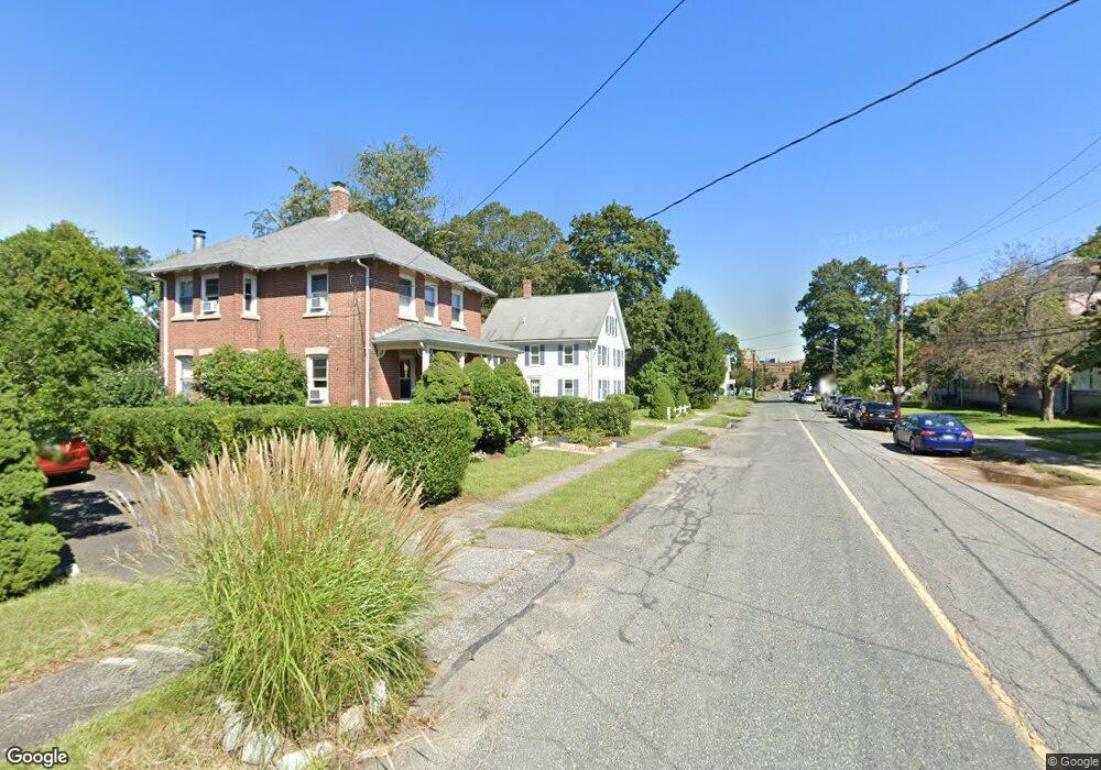
66 Central St Unit 68 Ashland, MA 01721
Estimated Value: $663,095 - $819,000
4
Beds
2
Baths
2,546
Sq Ft
$302/Sq Ft
Est. Value
About This Home
This home is located at 66 Central St Unit 68, Ashland, MA 01721 and is currently estimated at $768,274, approximately $301 per square foot. 66 Central St Unit 68 is a home located in Middlesex County with nearby schools including William Pittaway Elementary School, David Mindess Elementary School, and Henry E. Warren Elementary School.
Ownership History
Date
Name
Owned For
Owner Type
Purchase Details
Closed on
Apr 16, 2008
Sold by
Knapp Brooke A and Knapp Vincent F
Bought by
Knapp Brooke A
Current Estimated Value
Home Financials for this Owner
Home Financials are based on the most recent Mortgage that was taken out on this home.
Original Mortgage
$195,000
Interest Rate
6.1%
Mortgage Type
Purchase Money Mortgage
Purchase Details
Closed on
Feb 7, 1995
Sold by
Delaney Peter C and Delaney Josephine
Bought by
Patten Richard W and Patten Lynne M
Purchase Details
Closed on
Sep 2, 1993
Sold by
Stephens Ada M
Bought by
Knapp Brooke A and Knapp Vincent F
Purchase Details
Closed on
Jun 2, 1988
Sold by
Bonica Frances Est
Bought by
Delaney Peter C
Create a Home Valuation Report for This Property
The Home Valuation Report is an in-depth analysis detailing your home's value as well as a comparison with similar homes in the area
Home Values in the Area
Average Home Value in this Area
Purchase History
| Date | Buyer | Sale Price | Title Company |
|---|---|---|---|
| Knapp Brooke A | -- | -- | |
| Patten Richard W | $119,500 | -- | |
| Knapp Brooke A | $79,000 | -- | |
| Delaney Peter C | $228,000 | -- |
Source: Public Records
Mortgage History
| Date | Status | Borrower | Loan Amount |
|---|---|---|---|
| Open | Delaney Peter C | $198,000 | |
| Closed | Knapp Brooke A | $195,000 | |
| Previous Owner | Delaney Peter C | $30,000 | |
| Previous Owner | Delaney Peter C | $15,000 |
Source: Public Records
Tax History Compared to Growth
Tax History
| Year | Tax Paid | Tax Assessment Tax Assessment Total Assessment is a certain percentage of the fair market value that is determined by local assessors to be the total taxable value of land and additions on the property. | Land | Improvement |
|---|---|---|---|---|
| 2025 | $7,270 | $569,300 | $217,900 | $351,400 |
| 2024 | $7,471 | $564,300 | $217,900 | $346,400 |
| 2023 | $6,914 | $502,100 | $207,500 | $294,600 |
| 2022 | $6,808 | $428,700 | $188,500 | $240,200 |
| 2021 | $6,170 | $387,300 | $188,500 | $198,800 |
| 2020 | $5,926 | $366,700 | $190,800 | $175,900 |
| 2019 | $5,657 | $347,500 | $190,800 | $156,700 |
| 2018 | $5,515 | $332,000 | $188,800 | $143,200 |
| 2017 | $5,187 | $310,600 | $185,200 | $125,400 |
| 2016 | $4,933 | $290,200 | $180,500 | $109,700 |
| 2015 | $4,586 | $265,100 | $168,500 | $96,600 |
| 2014 | $4,803 | $276,200 | $150,500 | $125,700 |
Source: Public Records
Map
Nearby Homes
- 13 Clark St
- 0 Ballard Highland Marietta Unit 73391306
- 12 Alfred Rd
- 638 Main St
- 11 Voyagers Ln
- 3 Blueberry Hill Ln
- 24 Old Connecticut Path
- 203 Pleasant St
- 25 Prospect St
- 49 Prospect St
- 116 Waverly St
- 9 Olive St
- 343 Captain Eames Cir Unit 38-C
- 28-30 Olive St
- 379 Captain Eames Cir
- 120 Prospect St
- 15 Bellmore Rd
- 8 Bellmore Rd
- 102 Captain Eames Cir
- 60 Frankland Rd
- 66 Central St Unit 1
- 56 Central St
- 48 Central St
- 9 Church Ct
- 5 Church Ct
- 11 Church Ct Unit 13
- 11 Church Ct Unit 11
- 13 Church Ct
- 11 Church Ct
- 13 Church Ct Unit 13
- 13 Church Ct Unit A
- 82 Central St
- 88 Alden St Unit 90
- 80 Alden St
- 10 Church Ct
- 15 Church Ct
- 12 Church Ct
- 92 Central St Unit 92
- 35 Central St
- 90 Central St