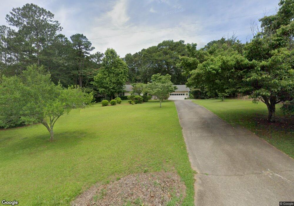
66 Channing Cope Rd Covington, GA 30016
Estimated Value: $233,850 - $286,000
--
Bed
2
Baths
1,581
Sq Ft
$165/Sq Ft
Est. Value
About This Home
This home is located at 66 Channing Cope Rd, Covington, GA 30016 and is currently estimated at $260,713, approximately $164 per square foot. 66 Channing Cope Rd is a home located in Newton County with nearby schools including Heard-Mixon Elementary School, Liberty Middle School, and Alcovy High School.
Ownership History
Date
Name
Owned For
Owner Type
Purchase Details
Closed on
Aug 11, 2017
Sold by
Thompson James W
Bought by
Thompson Faye A
Current Estimated Value
Purchase Details
Closed on
May 9, 1994
Sold by
Frank Keith David
Bought by
Thompson James E and Thompson Faye A
Home Financials for this Owner
Home Financials are based on the most recent Mortgage that was taken out on this home.
Original Mortgage
$81,370
Interest Rate
8.07%
Mortgage Type
VA
Create a Home Valuation Report for This Property
The Home Valuation Report is an in-depth analysis detailing your home's value as well as a comparison with similar homes in the area
Home Values in the Area
Average Home Value in this Area
Purchase History
| Date | Buyer | Sale Price | Title Company |
|---|---|---|---|
| Thompson Faye A | -- | -- | |
| Thompson James E | $79,000 | -- |
Source: Public Records
Mortgage History
| Date | Status | Borrower | Loan Amount |
|---|---|---|---|
| Previous Owner | Thompson James E | $81,370 |
Source: Public Records
Tax History Compared to Growth
Tax History
| Year | Tax Paid | Tax Assessment Tax Assessment Total Assessment is a certain percentage of the fair market value that is determined by local assessors to be the total taxable value of land and additions on the property. | Land | Improvement |
|---|---|---|---|---|
| 2024 | $964 | $79,640 | $8,480 | $71,160 |
| 2023 | $1,294 | $76,720 | $8,480 | $68,240 |
| 2022 | $826 | $59,440 | $8,480 | $50,960 |
| 2021 | $690 | $51,880 | $8,480 | $43,400 |
| 2020 | $586 | $46,640 | $9,000 | $37,640 |
| 2019 | $605 | $46,960 | $9,000 | $37,960 |
| 2018 | $649 | $48,120 | $9,000 | $39,120 |
| 2017 | $415 | $41,320 | $5,000 | $36,320 |
| 2016 | $381 | $40,320 | $4,000 | $36,320 |
| 2015 | $66 | $31,200 | $4,000 | $27,200 |
| 2014 | $23 | $29,560 | $0 | $0 |
Source: Public Records
Map
Nearby Homes
- 219 Channing Cope Rd
- 270 Oak Ridge Rd
- 55 Myrtle Grove Ln
- 270 Myrtle Grove Ln
- 230 Myrtle Grove Ln
- 440 Varner St
- 330 King Bostick Rd
- 12421 Highway 36
- 11489 Highway 36
- 12522 Georgia 36
- 85 Taylor Rd
- 0 White Laurel Ln Unit 16 10594886
- 60 Laurie Ln
- 0 River Shoals Ct Unit 10620666
- 590 King Bostick Rd
- 150 Alcovy Reserve Way
- 90 Alcovy Reserve Way
- 70 Alcovy Reserve Way
- 12895 Highway 36
- 0 Highway 36 Unit 10632443
- 76 Channing Cope Rd
- 38 Channing Cope Rd
- 86 Channing Cope Rd
- 38 Andrew Rd
- 57 Channing Cope Rd
- 96 Channing Cope Rd
- 107 Channing Cope Rd
- 81 Andrew Rd
- 45 Andrew Rd
- 25 Andrew Rd
- 135 Channing Cope Rd
- 20 Andrew Rd
- 122 Channing Cope Rd
- 440 High Point Forest Dr
- 85 Andrew Rd
- 0 Andrew Rd Unit 7331670
- 168 Andrew Rd
- 87 Andrew Rd
- 12086 Flat Shoals Rd
- 40 Channing Dr