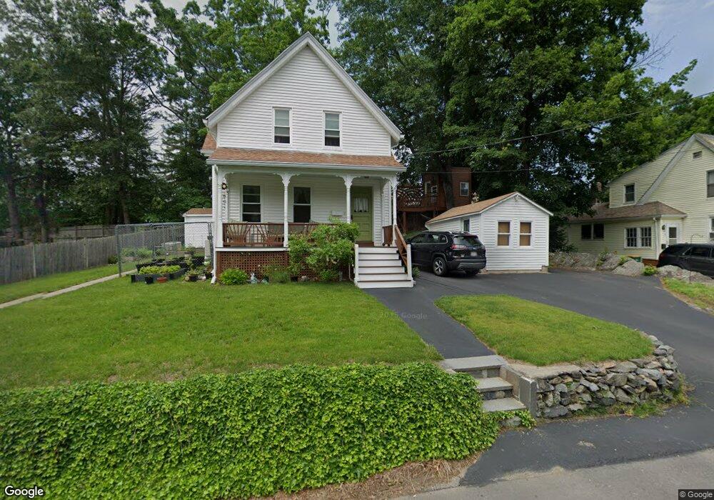
66 Charles St Mansfield, MA 02048
Estimated Value: $452,000 - $554,803
3
Beds
1
Bath
1,214
Sq Ft
$418/Sq Ft
Est. Value
About This Home
This home is located at 66 Charles St, Mansfield, MA 02048 and is currently estimated at $507,951, approximately $418 per square foot. 66 Charles St is a home located in Bristol County with nearby schools including Everett W. Robinson Elementary School, Jordan/Jackson Elementary School, and Harold L. Qualters Middle School.
Ownership History
Date
Name
Owned For
Owner Type
Purchase Details
Closed on
Jun 29, 1994
Sold by
Mulhern Elizabeth A and Wrona Claire L
Bought by
Goodman Ronald S and Goodman Pamela A
Current Estimated Value
Home Financials for this Owner
Home Financials are based on the most recent Mortgage that was taken out on this home.
Original Mortgage
$75,000
Interest Rate
8.55%
Mortgage Type
Purchase Money Mortgage
Create a Home Valuation Report for This Property
The Home Valuation Report is an in-depth analysis detailing your home's value as well as a comparison with similar homes in the area
Home Values in the Area
Average Home Value in this Area
Purchase History
| Date | Buyer | Sale Price | Title Company |
|---|---|---|---|
| Goodman Ronald S | $85,000 | -- |
Source: Public Records
Mortgage History
| Date | Status | Borrower | Loan Amount |
|---|---|---|---|
| Open | Goodman Ronald S | $122,500 | |
| Closed | Goodman Ronald S | $111,520 | |
| Closed | Goodman Ronald S | $85,000 | |
| Closed | Goodman Ronald S | $75,000 |
Source: Public Records
Tax History Compared to Growth
Tax History
| Year | Tax Paid | Tax Assessment Tax Assessment Total Assessment is a certain percentage of the fair market value that is determined by local assessors to be the total taxable value of land and additions on the property. | Land | Improvement |
|---|---|---|---|---|
| 2025 | $5,919 | $449,400 | $212,200 | $237,200 |
| 2024 | $5,964 | $441,800 | $212,200 | $229,600 |
| 2023 | $5,660 | $401,700 | $212,200 | $189,500 |
| 2022 | $5,602 | $369,300 | $196,500 | $172,800 |
| 2021 | $3,001 | $337,800 | $171,900 | $165,900 |
| 2020 | $4,725 | $307,600 | $163,700 | $143,900 |
| 2019 | $2,983 | $299,400 | $136,500 | $162,900 |
| 2018 | $2,859 | $285,600 | $130,000 | $155,600 |
| 2017 | $2,776 | $278,900 | $126,200 | $152,700 |
| 2016 | $3,956 | $256,700 | $120,200 | $136,500 |
| 2015 | $3,798 | $245,000 | $120,200 | $124,800 |
Source: Public Records
Map
Nearby Homes
- 28 Angell St
- 44 Angell St Unit 44
- 619 N Main St
- 60 King St
- 82 Brook St
- 22 Pleasant St Unit B
- 22 Pleasant St Unit A
- 99 Pleasant St
- 241-243 N Main St
- 76 Samoset Ave
- 150 Rumford Ave Unit 222
- 72 Court St Unit B
- 28 Court St
- 28 Court St Unit 4
- 38 Court St
- 16 East St Unit 2
- 21 East St Unit 1D
- 14 Webb Place Unit 1B
- 356 Central St
- 12 Wilson Place
- 72 Charles St Unit 2
- 70-72 Charles St
- 72 Charles St Unit B
- 71 Oakland St
- 71 Oakland St Unit 1
- 71 Oakland St Unit 2
- 61 Oakland St
- 61 Oakland St Unit 1
- 70 Charles St Unit 72
- 69 Charles St
- 77 Oakland St Unit 79
- 77 Oakland St Unit 1
- 57 Charles St
- 57 Charles St Unit 1
- 79 Oakland St Unit 2
- 79 Oakland St
- 80 Charles St
- 11 Shields St
- 60 Oakland St
- 25 Keefe Ln