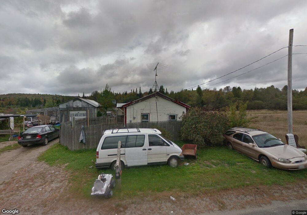
66 Chicken St Starks, ME 04911
Estimated Value: $94,851 - $169,000
Studio
--
Bath
--
Sq Ft
37,026
Sq Ft Lot
About This Home
This home is located at 66 Chicken St, Starks, ME 04911 and is currently estimated at $141,463. 66 Chicken St is a home with nearby schools including Madison Area Memorial High School.
Create a Home Valuation Report for This Property
The Home Valuation Report is an in-depth analysis detailing your home's value as well as a comparison with similar homes in the area
Tax History
| Year | Tax Paid | Tax Assessment Tax Assessment Total Assessment is a certain percentage of the fair market value that is determined by local assessors to be the total taxable value of land and additions on the property. | Land | Improvement |
|---|---|---|---|---|
| 2024 | $548 | $38,060 | $11,060 | $27,000 |
| 2023 | $531 | $38,060 | $11,060 | $27,000 |
| 2022 | $483 | $38,060 | $11,060 | $27,000 |
| 2021 | $853 | $38,060 | $11,060 | $27,000 |
| 2020 | $599 | $38,060 | $11,060 | $27,000 |
| 2019 | $592 | $31,720 | $9,220 | $22,500 |
| 2018 | $558 | $31,720 | $9,220 | $22,500 |
| 2017 | $531 | $31,720 | $9,220 | $22,500 |
| 2016 | $495 | $25,380 | $7,380 | $18,000 |
| 2015 | $508 | $25,380 | $7,380 | $18,000 |
| 2014 | $495 | $25,380 | $7,380 | $18,000 |
| 2013 | $501 | $25,380 | $7,380 | $18,000 |
Source: Public Records
Map
Nearby Homes
- 17 Anson Rd
- 257 Sawyers Mills Rd
- 1648 New Sharon Rd
- 0 Poor Farm Rd Unit 1637355
- 300 Locke Hill Rd
- 8 Magnolia Ln
- 1.3 Mayhew Rd
- map6 lot1 Mayhew Rd
- Map6 lot2 Mayhew Rd
- 735 Sandy River Rd
- 199 Elm St
- 78 Fording Rd
- 6 Kyes Hill Rd
- Lot 005 Greenwood Brook Rd
- 1194 Mercer Rd
- 6 Decker Rd
- Lot 59&60 Starks Rd
- 205 Greenleaf Rd
- 71 Barton Hill Rd
- 6 Myrtle St
Your Personal Tour Guide
Ask me questions while you tour the home.