Estimated Value: $437,000 - $666,000
4
Beds
4
Baths
3,260
Sq Ft
$174/Sq Ft
Est. Value
About This Home
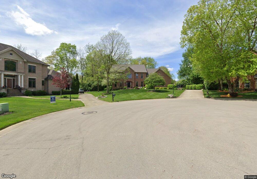
This home is located at 66 Countryside Dr N, Troy, OH 45373 and is currently estimated at $567,885, approximately $174 per square foot. 66 Countryside Dr N is a home located in Miami County with nearby schools including Concord Elementary School, Van Cleve Elementary School, and Troy Junior High School.
Ownership History
Date
Name
Owned For
Owner Type
Purchase Details
Closed on
May 6, 1999
Sold by
Zinno William C and Zinno Janice L
Bought by
Keenan Michael J and Keenan Cynthia L
Current Estimated Value
Home Financials for this Owner
Home Financials are based on the most recent Mortgage that was taken out on this home.
Original Mortgage
$240,000
Outstanding Balance
$62,012
Interest Rate
7.04%
Mortgage Type
New Conventional
Estimated Equity
$505,873
Purchase Details
Closed on
Mar 30, 1995
Sold by
Hg Dev Inc
Bought by
Newnam Enterprises Inc
Create a Home Valuation Report for This Property
The Home Valuation Report is an in-depth analysis detailing your home's value as well as a comparison with similar homes in the area
Home Values in the Area
Average Home Value in this Area
Purchase History
| Date | Buyer | Sale Price | Title Company |
|---|---|---|---|
| Keenan Michael J | $375,000 | -- | |
| Newnam Enterprises Inc | $58,000 | -- |
Source: Public Records
Mortgage History
| Date | Status | Borrower | Loan Amount |
|---|---|---|---|
| Open | Keenan Michael J | $240,000 |
Source: Public Records
Tax History Compared to Growth
Tax History
| Year | Tax Paid | Tax Assessment Tax Assessment Total Assessment is a certain percentage of the fair market value that is determined by local assessors to be the total taxable value of land and additions on the property. | Land | Improvement |
|---|---|---|---|---|
| 2024 | $6,772 | $170,560 | $27,060 | $143,500 |
| 2023 | $6,772 | $170,560 | $27,060 | $143,500 |
| 2022 | $5,550 | $170,560 | $27,060 | $143,500 |
| 2021 | $5,141 | $148,300 | $23,520 | $124,780 |
| 2020 | $5,147 | $148,300 | $23,520 | $124,780 |
| 2019 | $5,193 | $148,300 | $23,520 | $124,780 |
| 2018 | $4,580 | $124,570 | $25,410 | $99,160 |
| 2017 | $4,623 | $124,570 | $25,410 | $99,160 |
| 2016 | $4,558 | $124,570 | $25,410 | $99,160 |
| 2015 | $4,389 | $115,330 | $23,520 | $91,810 |
| 2014 | $4,389 | $115,330 | $23,520 | $91,810 |
| 2013 | $4,417 | $115,330 | $23,520 | $91,810 |
Source: Public Records
Map
Nearby Homes
- 2765 Silver Maple Ct
- 445 Wisteria Dr
- 0 Lincolnshire Unit 939331
- 660 Wisteria Dr
- 203 Boone Dr
- 2215 Merrimont Dr
- 2065 S Co Road 25a
- 1701 Chevington Chase
- 2015 Merrimont Dr
- 1117 Honeydew Dr
- 650 Swailes Rd
- 1216 Wind Rock Ct
- Spruce Plan at Summit Landing
- Norway Plan at Summit Landing
- Chestnut Plan at Summit Landing
- Juniper Plan at Summit Landing
- Palmetto Plan at Summit Landing
- Ashton Plan at Summit Landing
- Empress Plan at Summit Landing
- Ironwood Plan at Summit Landing
- 74 Countryside Dr N
- 0 Countryside Dr N
- 0 Countryside Dr N Unit 300640
- 0 Countryside Dr N Unit 300641
- 0 Countryside Dr N Unit 312403
- 0 Countryside Dr N Unit 312404
- 0 Countryside Dr N Unit 59 314396
- 0 Countryside Dr N Unit 58 314395
- 65 Countryside Dr N
- 2575 Blackmore Ct
- 2615 Blackmore Ct
- 560 Countryside Dr S
- 82 Countryside Dr N
- 555 Countryside Dr S
- 75 Countryside Dr N
- 2555 Blackmore Ct
- 2875 Kensington Ct
- 2830 Walnut Ridge Dr
- 2610 Blackmore Ct
- 2820 Walnut Ridge Dr