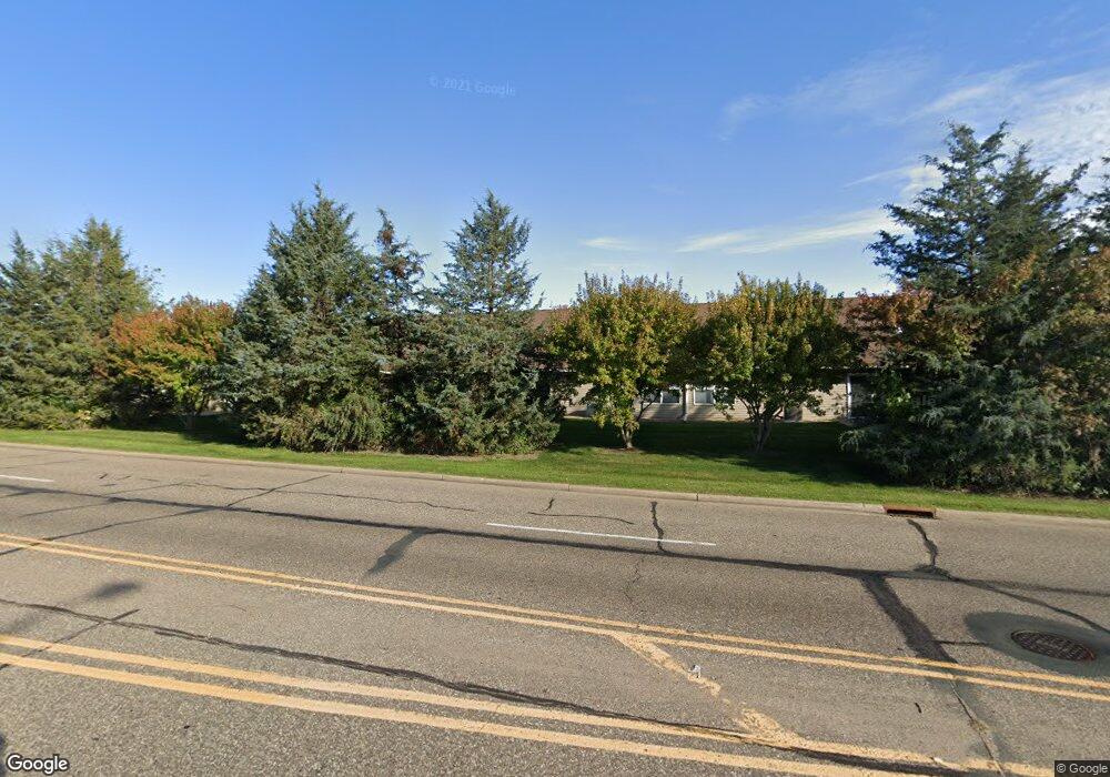
66 Crown Pointe Curve Unit 30 Hudson, WI 54016
Estimated Value: $303,000 - $308,000
2
Beds
2
Baths
1,488
Sq Ft
$205/Sq Ft
Est. Value
About This Home
This home is located at 66 Crown Pointe Curve Unit 30, Hudson, WI 54016 and is currently estimated at $305,592, approximately $205 per square foot. 66 Crown Pointe Curve Unit 30 is a home located in St. Croix County with nearby schools including E.P. Rock Elementary School, Hudson Middle School, and Hudson High School.
Ownership History
Date
Name
Owned For
Owner Type
Purchase Details
Closed on
Apr 3, 2025
Sold by
Pederson George L and Pederson Beverly A
Bought by
Vieau Susanne D
Current Estimated Value
Home Financials for this Owner
Home Financials are based on the most recent Mortgage that was taken out on this home.
Original Mortgage
$240,000
Outstanding Balance
$238,975
Interest Rate
6.85%
Mortgage Type
New Conventional
Estimated Equity
$66,617
Purchase Details
Closed on
Jan 14, 2011
Sold by
Carbone Carrie
Bought by
Jones Daryl L
Purchase Details
Closed on
Apr 13, 2005
Sold by
Manchester Homes Of Hudson Llc
Bought by
Carbone Carrie
Home Financials for this Owner
Home Financials are based on the most recent Mortgage that was taken out on this home.
Original Mortgage
$136,200
Interest Rate
5.9%
Mortgage Type
Adjustable Rate Mortgage/ARM
Create a Home Valuation Report for This Property
The Home Valuation Report is an in-depth analysis detailing your home's value as well as a comparison with similar homes in the area
Home Values in the Area
Average Home Value in this Area
Purchase History
| Date | Buyer | Sale Price | Title Company |
|---|---|---|---|
| Vieau Susanne D | $300,000 | Burnet Title | |
| Jones Daryl L | $104,000 | Title One | |
| Carbone Carrie | $170,300 | None Available |
Source: Public Records
Mortgage History
| Date | Status | Borrower | Loan Amount |
|---|---|---|---|
| Open | Vieau Susanne D | $240,000 | |
| Previous Owner | Carbone Carrie | $136,200 |
Source: Public Records
Tax History Compared to Growth
Tax History
| Year | Tax Paid | Tax Assessment Tax Assessment Total Assessment is a certain percentage of the fair market value that is determined by local assessors to be the total taxable value of land and additions on the property. | Land | Improvement |
|---|---|---|---|---|
| 2024 | $39 | $209,700 | $30,000 | $179,700 |
| 2023 | $3,692 | $209,700 | $30,000 | $179,700 |
| 2022 | $3,330 | $209,700 | $30,000 | $179,700 |
| 2021 | $3,337 | $209,700 | $30,000 | $179,700 |
| 2020 | $2,763 | $209,700 | $30,000 | $179,700 |
| 2019 | $2,601 | $133,600 | $26,400 | $107,200 |
| 2018 | $2,554 | $133,600 | $26,400 | $107,200 |
| 2017 | $2,437 | $133,600 | $26,400 | $107,200 |
| 2016 | $2,437 | $133,600 | $26,400 | $107,200 |
| 2015 | $2,266 | $133,600 | $26,400 | $107,200 |
| 2014 | $2,228 | $133,600 | $26,400 | $107,200 |
| 2013 | $2,312 | $133,600 | $26,400 | $107,200 |
Source: Public Records
Map
Nearby Homes
- 75 Crown Pointe Curve Unit 22
- 81 Bridgewater Trail
- 127 Stratford Way Unit 6
- 42 Stone Harbor Place
- 158 Bridgewater Trail
- 106 Bridgewater Trail
- 15 Prosperity Way
- 665 Darnold Dr
- 671 Darnold Dr
- 91 Deerwood Ct
- 118 Quail Cir
- 464 Stageline Rd
- 117 Heirloom Ave
- 719 Countryview Cir
- 489 Canyon Blvd
- 740 Aldro Rd
- Lot 25 Hanley Rd
- xxx Crosby Dr
- 753 Aldro Rd
- 786 Harlar Cir
- 64 Crown Pointe Curve
- 64 Crown Pointe Curve
- 68 Crown Pte
- 62 Crown Pointe Curve Unit 1219
- 62 Crown Pointe Curve
- 72 Crown Pointe Curve
- 74 Crown Pointe Curve Unit 26
- 60 Crown Pointe Curve Unit 1219
- 80 Crown Pte Curve
- 62 - 52 Crown Pt Curve
- 71 Crown Pointe Curve
- 56 Crown Pointe Curve Unit 1219
- 73 Crown Pointe Curve Unit 21
- 76 Crown Pointe Curve
- 76 Crown Pointe Curve Unit 25
- 74 Crown Pte Curve
- 51 Crown Pointe Curve Unit 38
- 57 Crown Pte Curve
- 53 Crown Pointe Curve Unit 39
- 78 Crown Pointe Curve