66 Daniels Dr Robbinsville, NC 28771
Estimated Value: $339,000 - $480,000
4
Beds
3
Baths
2,800
Sq Ft
$146/Sq Ft
Est. Value
About This Home
This home is located at 66 Daniels Dr, Robbinsville, NC 28771 and is currently estimated at $410,166, approximately $146 per square foot. 66 Daniels Dr is a home located in Graham County with nearby schools including Robbinsville High School, Robbinsville Elementary School, and Robbinsville Middle School.
Ownership History
Date
Name
Owned For
Owner Type
Purchase Details
Closed on
Mar 31, 2016
Sold by
Miller Bera Leigh
Bought by
Driver Cody and Williams Kristin
Current Estimated Value
Home Financials for this Owner
Home Financials are based on the most recent Mortgage that was taken out on this home.
Original Mortgage
$147,000
Outstanding Balance
$118,918
Interest Rate
4.25%
Mortgage Type
Adjustable Rate Mortgage/ARM
Estimated Equity
$291,248
Create a Home Valuation Report for This Property
The Home Valuation Report is an in-depth analysis detailing your home's value as well as a comparison with similar homes in the area
Home Values in the Area
Average Home Value in this Area
Purchase History
| Date | Buyer | Sale Price | Title Company |
|---|---|---|---|
| Driver Cody | $145,000 | None Available |
Source: Public Records
Mortgage History
| Date | Status | Borrower | Loan Amount |
|---|---|---|---|
| Open | Driver Cody | $147,000 |
Source: Public Records
Tax History Compared to Growth
Tax History
| Year | Tax Paid | Tax Assessment Tax Assessment Total Assessment is a certain percentage of the fair market value that is determined by local assessors to be the total taxable value of land and additions on the property. | Land | Improvement |
|---|---|---|---|---|
| 2025 | $1,710 | $289,820 | $8,700 | $281,120 |
| 2024 | $1,710 | $289,820 | $8,700 | $281,120 |
| 2023 | $1,710 | $289,820 | $8,700 | $281,120 |
| 2022 | $1,460 | $224,620 | $20,000 | $204,620 |
| 2021 | $1,460 | $224,620 | $20,000 | $204,620 |
| 2020 | $1,460 | $224,620 | $20,000 | $204,620 |
| 2019 | $1,460 | $224,620 | $20,000 | $204,620 |
| 2018 | $1,352 | $231,050 | $20,000 | $211,050 |
| 2017 | $1,352 | $231,050 | $0 | $0 |
| 2016 | $1,352 | $231,050 | $0 | $0 |
| 2015 | $139,716 | $238,830 | $0 | $0 |
| 2013 | -- | $239,850 | $0 | $0 |
Source: Public Records
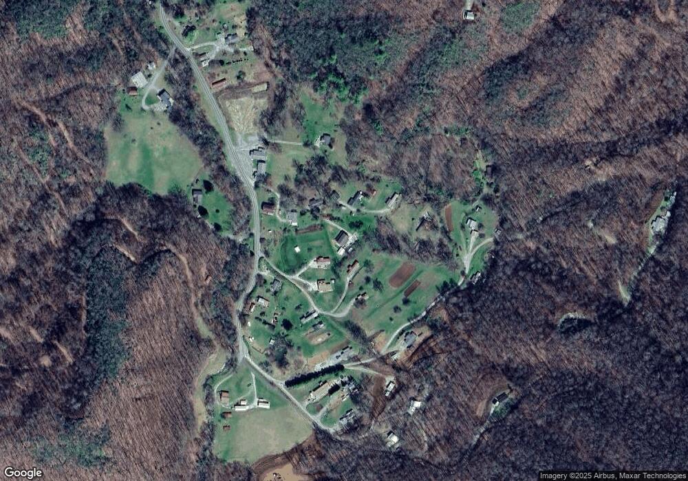
Map
Nearby Homes
- 1111 Canopy Ln
- 00 Canopy Ln
- 0 Creek
- 1229 Dry Creek Rd
- SR 1229 Dry Creek Rd
- 1351 Cody Bridge Rd
- 00 Hwy 28
- 651 Lower Stecoah Rd
- 146 W Stecoah Heights
- 283 Briggs Cove Rd
- TBD Briggs Cove Rd
- Lot D-3 Briggs Cove Rd
- 460 Briggs Cove Rd
- 0 Tbd Shell Stand Rd
- 00 Gunter Hollow Rd
- 2150 Shellstand Rd Unit 5&6
- 2150 Shellstand Estates
- 276 Honeysuckle Ridge
- 292 Wolf Creek Heights
- TBD Shell Stand Rd
- 1197 Dry Creek Rd
- 11 Collins Cove
- Lot 5 Collins Cove
- 138 Johnson Dr
- 0 Dry Creek Rd Unit 25942209
- 0 Dry Creek Rd Unit 106155
- 0 Dry Creek Rd Unit 25943491
- 0 Dry Creek Rd Unit 25951034
- 0 Dry Creek Rd Unit 26003236
- 0 Dry Creek Rd Unit 26006372
- 0 Dry Creek Rd Unit 26025234
- 0 Dry Creek Rd Unit CAR3862561
- 47 Cousins Cove
- 62 Collins Cove
- 00 Dry Creek Rd
- 0 Berry Paul Jenkins Rd Unit NCM567784
- 3.77 acr End of Dry Creek Rd
- 225 Cousins Cove
- 505 Dry Creek Rd
- 930 Dry Creek Rd