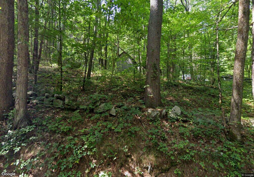
66 Denfield Rd Charlton, MA 01507
Estimated Value: $366,000 - $476,000
3
Beds
2
Baths
1,404
Sq Ft
$291/Sq Ft
Est. Value
About This Home
This home is located at 66 Denfield Rd, Charlton, MA 01507 and is currently estimated at $407,962, approximately $290 per square foot. 66 Denfield Rd is a home located in Worcester County with nearby schools including Shepherd Hill Regional High School, Trinity Catholic Academy, and ViewPoint Christian Academy.
Create a Home Valuation Report for This Property
The Home Valuation Report is an in-depth analysis detailing your home's value as well as a comparison with similar homes in the area
Home Values in the Area
Average Home Value in this Area
Tax History Compared to Growth
Tax History
| Year | Tax Paid | Tax Assessment Tax Assessment Total Assessment is a certain percentage of the fair market value that is determined by local assessors to be the total taxable value of land and additions on the property. | Land | Improvement |
|---|---|---|---|---|
| 2025 | $3,064 | $275,300 | $104,500 | $170,800 |
| 2024 | $3,012 | $265,600 | $103,800 | $161,800 |
| 2023 | $2,949 | $242,300 | $96,600 | $145,700 |
| 2022 | $2,821 | $212,300 | $87,500 | $124,800 |
| 2021 | $2,904 | $193,500 | $83,300 | $110,200 |
| 2020 | $2,846 | $190,500 | $80,300 | $110,200 |
| 2019 | $3,069 | $207,800 | $80,300 | $127,500 |
| 2018 | $2,805 | $207,800 | $80,300 | $127,500 |
| 2017 | $2,658 | $188,500 | $74,300 | $114,200 |
| 2016 | $2,598 | $188,500 | $74,300 | $114,200 |
| 2015 | $2,530 | $188,500 | $74,300 | $114,200 |
| 2014 | $2,426 | $191,600 | $76,900 | $114,700 |
Source: Public Records
Map
Nearby Homes
- 298 Torrey Rd
- 796 Charlton St
- 0 Blood Rd
- Lot 7 Harrington Rd
- 876 Worcester St
- 643 Charlton St
- 613 Charlton St
- 9 Piehl Dr
- 0 Sandersdale Rd
- 10 Harrington Rd
- 22 Prindle Hill Rd
- 412 Charlton St
- 423 Worcester St
- 421 Charlton St
- 60 Saundersdale Rd
- 60 Guelphwood Rd
- 79 Fairlawn Ave
- 16 Sandersdale Rd
- 219 Charlton St
- 91 Burlingame Rd
