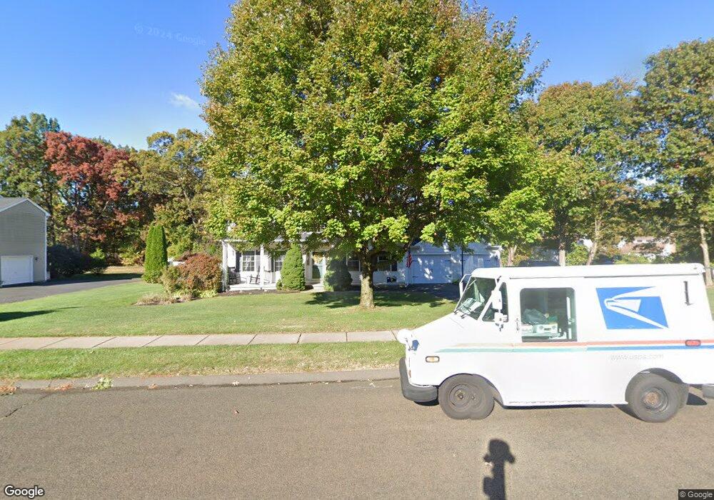
66 Desorbo Dr Southington, CT 06489
West Southington NeighborhoodEstimated Value: $632,000 - $696,000
3
Beds
3
Baths
2,365
Sq Ft
$279/Sq Ft
Est. Value
About This Home
This home is located at 66 Desorbo Dr, Southington, CT 06489 and is currently estimated at $660,730, approximately $279 per square foot. 66 Desorbo Dr is a home located in Hartford County with nearby schools including Urbin T. Kelley Elementary School, John F. Kennedy Middle School, and Southington High School.
Ownership History
Date
Name
Owned For
Owner Type
Purchase Details
Closed on
Apr 14, 2008
Sold by
Trask Kevin S and Trask Kristen M
Bought by
Kushman Todd and Kushman Michele G
Current Estimated Value
Home Financials for this Owner
Home Financials are based on the most recent Mortgage that was taken out on this home.
Original Mortgage
$226,000
Interest Rate
6.3%
Purchase Details
Closed on
Dec 2, 2002
Sold by
Brino Bldrs Llc
Bought by
Trask Kevin S and Trask Kristen B
Create a Home Valuation Report for This Property
The Home Valuation Report is an in-depth analysis detailing your home's value as well as a comparison with similar homes in the area
Home Values in the Area
Average Home Value in this Area
Purchase History
| Date | Buyer | Sale Price | Title Company |
|---|---|---|---|
| Kushman Todd | $406,000 | -- | |
| Trask Kevin S | $285,000 | -- |
Source: Public Records
Mortgage History
| Date | Status | Borrower | Loan Amount |
|---|---|---|---|
| Open | Trask Kevin S | $266,267 | |
| Closed | Trask Kevin S | $266,000 | |
| Closed | Trask Kevin S | $39,390 | |
| Closed | Trask Kevin S | $226,000 |
Source: Public Records
Tax History Compared to Growth
Tax History
| Year | Tax Paid | Tax Assessment Tax Assessment Total Assessment is a certain percentage of the fair market value that is determined by local assessors to be the total taxable value of land and additions on the property. | Land | Improvement |
|---|---|---|---|---|
| 2025 | $9,421 | $283,690 | $79,310 | $204,380 |
| 2024 | $8,919 | $283,690 | $79,310 | $204,380 |
| 2023 | $8,613 | $283,690 | $79,310 | $204,380 |
| 2022 | $8,264 | $283,690 | $79,310 | $204,380 |
| 2021 | $8,236 | $283,690 | $79,310 | $204,380 |
| 2020 | $8,210 | $268,040 | $80,930 | $187,110 |
| 2019 | $8,213 | $268,040 | $80,930 | $187,110 |
| 2018 | $8,170 | $268,040 | $80,930 | $187,110 |
| 2017 | $8,170 | $268,040 | $80,930 | $187,110 |
| 2016 | $7,945 | $268,040 | $80,930 | $187,110 |
| 2015 | $7,793 | $267,420 | $77,080 | $190,340 |
| 2014 | $7,584 | $267,420 | $77,080 | $190,340 |
Source: Public Records
Map
Nearby Homes
- 240 Jude Ln
- 475 Jude Ln
- 50 Yorktown Rd
- 25 Yorktown Rd
- 132 Walkley Dr
- 84 Empress Dr
- 1452 Mount Vernon Rd
- 1617 Mount Vernon Rd
- 449 Mill St
- 93 Bishop Ave
- 178 Empress Dr
- 30 Oxford Ln
- 0 Winchester Estates Lot 17
- 34 Ford St
- 140 Edgewood Cir
- 1937 Mount Vernon Rd
- 246 West St
- 338 W Pines Dr
- 490 Lazy Ln
- 61 Pine Hollow Dr