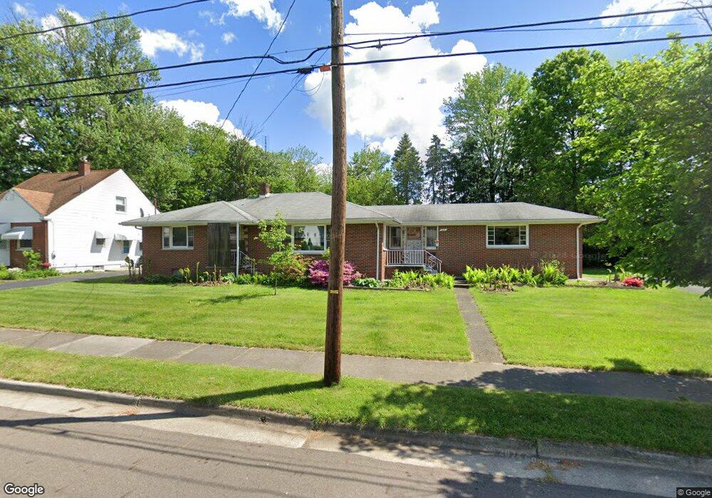
66 E Ralston Ave Akron, OH 44301
Firestone Park NeighborhoodEstimated Value: $176,000 - $216,000
3
Beds
2
Baths
1,498
Sq Ft
$130/Sq Ft
Est. Value
About This Home
This home is located at 66 E Ralston Ave, Akron, OH 44301 and is currently estimated at $194,768, approximately $130 per square foot. 66 E Ralston Ave is a home located in Summit County with nearby schools including Kenmore Garfield Community Learning Center, Main Preparatory Academy, and Eagle Elementary.
Ownership History
Date
Name
Owned For
Owner Type
Purchase Details
Closed on
Aug 27, 1997
Sold by
Wicks Brigitte
Bought by
Tong Sue Van and Xao
Current Estimated Value
Home Financials for this Owner
Home Financials are based on the most recent Mortgage that was taken out on this home.
Original Mortgage
$96,500
Outstanding Balance
$15,087
Interest Rate
7.57%
Mortgage Type
FHA
Estimated Equity
$179,681
Purchase Details
Closed on
Apr 21, 1995
Sold by
Est Ernest W Blocher
Bought by
Davis Brigette D
Create a Home Valuation Report for This Property
The Home Valuation Report is an in-depth analysis detailing your home's value as well as a comparison with similar homes in the area
Home Values in the Area
Average Home Value in this Area
Purchase History
| Date | Buyer | Sale Price | Title Company |
|---|---|---|---|
| Tong Sue Van | $97,750 | -- | |
| Davis Brigette D | $89,900 | -- |
Source: Public Records
Mortgage History
| Date | Status | Borrower | Loan Amount |
|---|---|---|---|
| Open | Tong Sue Van | $96,500 |
Source: Public Records
Tax History
| Year | Tax Paid | Tax Assessment Tax Assessment Total Assessment is a certain percentage of the fair market value that is determined by local assessors to be the total taxable value of land and additions on the property. | Land | Improvement |
|---|---|---|---|---|
| 2024 | $3,196 | $55,986 | $11,858 | $44,128 |
| 2023 | $3,196 | $55,986 | $11,858 | $44,128 |
| 2022 | $2,978 | $40,755 | $8,593 | $32,162 |
| 2021 | $2,881 | $40,755 | $8,593 | $32,162 |
| 2020 | $2,579 | $36,510 | $5,020 | $31,490 |
| 2019 | $2,554 | $32,830 | $5,020 | $27,810 |
| 2018 | $2,522 | $32,830 | $5,020 | $27,810 |
| 2017 | $2,511 | $32,830 | $5,020 | $27,810 |
| 2016 | $2,513 | $32,830 | $5,020 | $27,810 |
| 2015 | $2,511 | $32,830 | $5,020 | $27,810 |
| 2014 | $2,491 | $32,830 | $5,020 | $27,810 |
| 2013 | $2,233 | $29,880 | $5,020 | $24,860 |
Source: Public Records
Map
Nearby Homes
- 37 & 39 W Woodsdale Ave
- 23 Wayne Ave
- 231 E Dresden Ave
- 16 E Catawba Ave
- 1870 Dallas Ave
- 1842 Thornapple Ave
- 22 Youtz Ave
- 30 Youtz Ave
- 1835 Thornapple Ave
- 62 E Rosewood Ave
- 244 E Catawba Ave
- 248 E Catawba Ave
- 41 E Rosewood Ave
- 14 E Dartmore Ave
- 29 E Dartmore Ave
- 16 Palmetto Ave
- 75 W Dartmore Ave
- 367 Wayne Ave
- 1582 Evergreen Ave
- 1681 Girard St
- 70 E Ralston Ave
- 50 E Ralston Ave
- 71 E Ralston Ave
- 65 E Ralston Ave
- 76 E Ralston Ave
- 41 E Ralston Ave
- 2010 Wilmich Dr
- 75 E Ralston Ave
- 44 E Ralston Ave
- 82 E Ralston Ave
- 79 E Ralston Ave
- 37 E Ralston Ave
- 86 E Ralston Ave
- 34 E Ralston Ave
- 62 E Woodsdale Ave
- 66 E Woodsdale Ave
- 2050 Clairmont Ave
- 76 E Woodsdale Ave
- 87 E Ralston Ave
- 90 E Ralston Ave
Your Personal Tour Guide
Ask me questions while you tour the home.