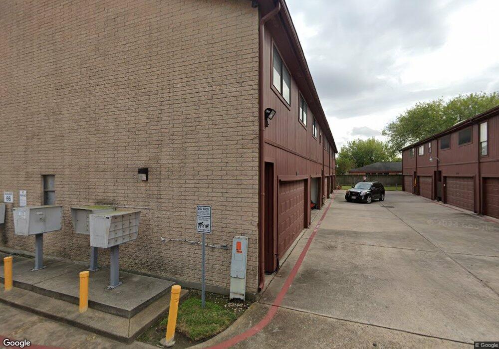
66 Evanston St Unit 31 Houston, TX 77015
Cloverleaf NeighborhoodEstimated Value: $147,203 - $191,000
3
Beds
3
Baths
1,602
Sq Ft
$102/Sq Ft
Est. Value
About This Home
This home is located at 66 Evanston St Unit 31, Houston, TX 77015 and is currently estimated at $163,551, approximately $102 per square foot. 66 Evanston St Unit 31 is a home located in Harris County with nearby schools including James B. Havard Elementary School, Cobb 6th Grade Campus, and North Shore Middle School.
Ownership History
Date
Name
Owned For
Owner Type
Purchase Details
Closed on
Nov 11, 2020
Sold by
Duran Gilbert
Bought by
Cooper Sean Jeray
Current Estimated Value
Home Financials for this Owner
Home Financials are based on the most recent Mortgage that was taken out on this home.
Original Mortgage
$116,844
Outstanding Balance
$103,975
Interest Rate
2.8%
Mortgage Type
New Conventional
Estimated Equity
$59,576
Create a Home Valuation Report for This Property
The Home Valuation Report is an in-depth analysis detailing your home's value as well as a comparison with similar homes in the area
Home Values in the Area
Average Home Value in this Area
Purchase History
| Date | Buyer | Sale Price | Title Company |
|---|---|---|---|
| Cooper Sean Jeray | -- | Capital Title | |
| Cooper Sean Jeray | -- | Capital Title |
Source: Public Records
Mortgage History
| Date | Status | Borrower | Loan Amount |
|---|---|---|---|
| Open | Cooper Sean Jeray | $116,844 | |
| Closed | Cooper Sean Jeray | $116,844 |
Source: Public Records
Tax History Compared to Growth
Tax History
| Year | Tax Paid | Tax Assessment Tax Assessment Total Assessment is a certain percentage of the fair market value that is determined by local assessors to be the total taxable value of land and additions on the property. | Land | Improvement |
|---|---|---|---|---|
| 2025 | $2,924 | $143,084 | $37,485 | $105,599 |
| 2024 | $2,924 | $136,308 | $37,485 | $98,823 |
| 2023 | $2,924 | $136,308 | $37,485 | $98,823 |
| 2022 | $2,851 | $122,624 | $24,990 | $97,634 |
| 2021 | $2,949 | $116,582 | $24,990 | $91,592 |
| 2020 | $2,432 | $106,278 | $24,990 | $81,288 |
| 2019 | $2,311 | $103,898 | $22,610 | $81,288 |
| 2018 | $36 | $99,462 | $16,184 | $83,278 |
| 2017 | $1,909 | $99,462 | $16,184 | $83,278 |
| 2016 | $1,736 | $94,899 | $16,184 | $78,715 |
| 2015 | $316 | $58,537 | $16,184 | $42,353 |
| 2014 | $316 | $58,537 | $16,184 | $42,353 |
Source: Public Records
Map
Nearby Homes
- 50 Evanston St Unit 5
- 122 White Cedar St
- 13630 Oleoke Ln
- 167 White Cedar St
- 126 Oryan Ct
- 230 Shekel Ln
- 13527 Castilian Dr Unit 1
- 13480 S Thorntree Dr Unit 1004
- 13480 S Thorntree Dr Unit 1206
- 13480 S Thorntree Dr Unit 910
- 13480 S Thorntree Dr Unit 508
- 271 Shekel Ln
- 14119 Falling Elm Ln
- 13415 Castilian Dr Unit 1
- 13410 S Thorntree Dr
- 203 Kirkaldy Dr
- 242 Saint Finans Way
- 338 Evanston St
- 13307 N Thorntree Dr
- 13338 Rampchester Ln
- 66 Evanston St Unit 34
- 66 Evanston St Unit 35
- 66 Evanston St Unit 33
- 66 Evanston St Unit 2
- 703 Evanston St Unit 4-3
- 70 Evanston St Unit 1
- 70 Evanston St Unit 45
- 70 Evanston St Unit 2
- 70-3 Evanston St
- 70 Evanston St Unit 1 4/1
- 70 Evanston St
- 70 Evanston St Unit 5
- 62 Evanston St Unit 4
- 62 Evanston St Unit 21
- 62 Evanston St Unit 23
- 62 Evanston St Unit 25
- 62 Evanston St Unit 1
- 62 Evanston St Unit 3
- 50 Evanston St Unit 2
- 50 Evanston St Unit 1