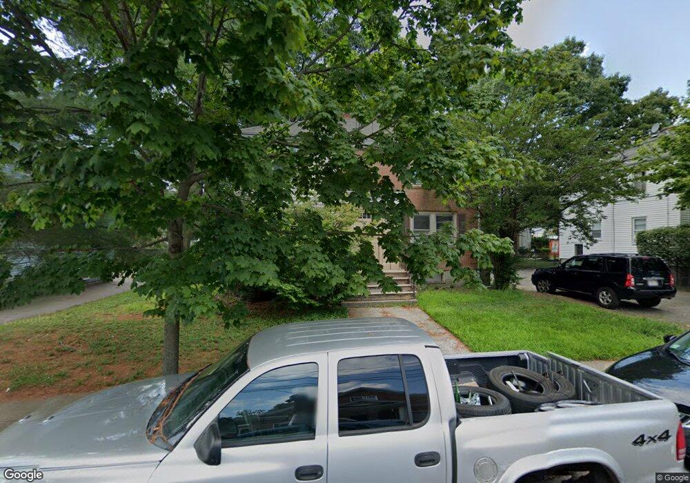
66 Favre St Unit 1 Mattapan, MA 02126
Southern Mattapan NeighborhoodEstimated Value: $676,095 - $801,000
2
Beds
1
Bath
854
Sq Ft
$847/Sq Ft
Est. Value
About This Home
This home is located at 66 Favre St Unit 1, Mattapan, MA 02126 and is currently estimated at $723,024, approximately $846 per square foot. 66 Favre St Unit 1 is a home located in Suffolk County with nearby schools including KIPP Academy Boston Charter School and Berea Seventh-day Adventist Academy.
Ownership History
Date
Name
Owned For
Owner Type
Purchase Details
Closed on
Jul 17, 2017
Sold by
Pilet Odeline
Bought by
Pilet Odeline and Chardin Mirko
Current Estimated Value
Purchase Details
Closed on
Feb 27, 2004
Sold by
Jones Albert
Bought by
Pilet Odeline
Purchase Details
Closed on
Dec 15, 1995
Sold by
Wallace Peter J Est
Bought by
Jones Albert
Create a Home Valuation Report for This Property
The Home Valuation Report is an in-depth analysis detailing your home's value as well as a comparison with similar homes in the area
Home Values in the Area
Average Home Value in this Area
Purchase History
| Date | Buyer | Sale Price | Title Company |
|---|---|---|---|
| Pilet Odeline | -- | -- | |
| Pilet Odeline | -- | -- | |
| Jones Albert | $111,000 | -- |
Source: Public Records
Mortgage History
| Date | Status | Borrower | Loan Amount |
|---|---|---|---|
| Previous Owner | Jones Albert | $122,000 | |
| Previous Owner | Jones Albert | $92,000 | |
| Previous Owner | Jones Albert | $84,179 |
Source: Public Records
Tax History Compared to Growth
Tax History
| Year | Tax Paid | Tax Assessment Tax Assessment Total Assessment is a certain percentage of the fair market value that is determined by local assessors to be the total taxable value of land and additions on the property. | Land | Improvement |
|---|---|---|---|---|
| 2025 | $6,726 | $580,800 | $243,500 | $337,300 |
| 2024 | $6,080 | $557,800 | $217,900 | $339,900 |
| 2023 | $5,651 | $526,200 | $205,600 | $320,600 |
| 2022 | $5,725 | $526,200 | $205,600 | $320,600 |
| 2021 | $5,105 | $478,400 | $186,900 | $291,500 |
| 2020 | $4,697 | $444,800 | $189,600 | $255,200 |
| 2019 | $4,342 | $412,000 | $137,100 | $274,900 |
| 2018 | $3,857 | $368,000 | $137,100 | $230,900 |
| 2017 | $3,691 | $348,500 | $137,100 | $211,400 |
| 2016 | $3,485 | $316,800 | $137,100 | $179,700 |
| 2015 | $3,023 | $249,600 | $119,200 | $130,400 |
| 2014 | $2,907 | $231,100 | $119,200 | $111,900 |
Source: Public Records
Map
Nearby Homes
- 95 Woodhaven St
- 10 Brockton St
- 20 Monterey Ave
- 100 Itasca St
- 60 and 64 Monterey Ave
- 770 Cummins Hwy Unit 1
- 770 Cummins Hwy Unit 22
- 116 Almont St
- 231 Itasca St
- 1465 Blue Hill Ave
- 839-843 Cummins Hwy
- 12 Hiawatha Rd
- 14-14R Kennebec St
- 49 Fottler Rd
- 58 Mattapan St
- 10 Itasca St
- 45 1st Ave Unit 111
- 710 Walk Hill St
- 4 Crossman St Unit 4
- 72 Livermore St