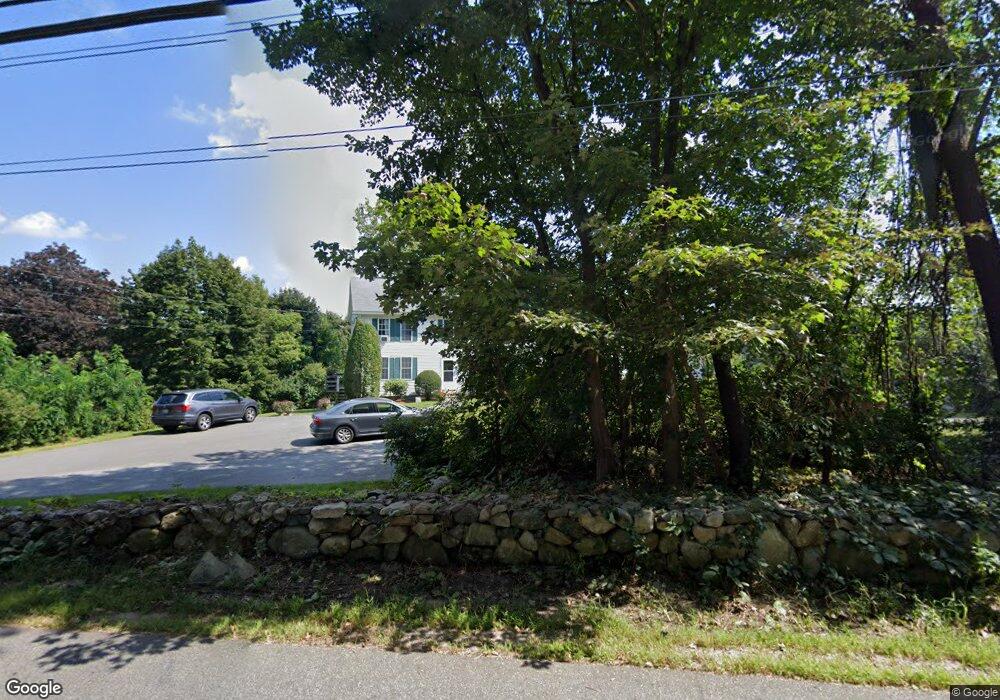
66 Flagg Rd Southborough, MA 01772
Estimated Value: $417,000 - $960,000
5
Beds
3
Baths
3,184
Sq Ft
$246/Sq Ft
Est. Value
About This Home
This home is located at 66 Flagg Rd, Southborough, MA 01772 and is currently estimated at $782,684, approximately $245 per square foot. 66 Flagg Rd is a home located in Worcester County with nearby schools including Margaret A. Neary School, Albert S. Woodward Memorial School, and P. Brent Trottier Middle School.
Create a Home Valuation Report for This Property
The Home Valuation Report is an in-depth analysis detailing your home's value as well as a comparison with similar homes in the area
Home Values in the Area
Average Home Value in this Area
Tax History Compared to Growth
Tax History
| Year | Tax Paid | Tax Assessment Tax Assessment Total Assessment is a certain percentage of the fair market value that is determined by local assessors to be the total taxable value of land and additions on the property. | Land | Improvement |
|---|---|---|---|---|
| 2025 | $9,983 | $722,900 | $285,100 | $437,800 |
| 2024 | $9,683 | $696,100 | $285,100 | $411,000 |
| 2023 | $9,650 | $653,800 | $273,100 | $380,700 |
| 2022 | $9,174 | $563,500 | $237,600 | $325,900 |
| 2021 | $8,387 | $517,400 | $218,500 | $298,900 |
| 2020 | $8,337 | $500,400 | $208,300 | $292,100 |
| 2019 | $5,353 | $497,900 | $203,400 | $294,500 |
| 2018 | $7,768 | $481,300 | $196,900 | $284,400 |
| 2017 | $7,641 | $466,500 | $196,900 | $269,600 |
| 2016 | $7,760 | $490,500 | $191,500 | $299,000 |
| 2015 | $7,579 | $473,100 | $177,300 | $295,800 |
Source: Public Records
Map
Nearby Homes
- 6 Eastbrook Farm Ln
- 15 Lovers Ln
- 14 Lovers Ln
- 8 Rock Spring Ln
- 19 Washington St
- 20 Clifford Rd
- 11 Skylar Dr
- 2 Fairview Dr
- 9 John Matthews Rd
- 54 Gilmore Rd
- 6 Walker St
- 19 Gilmore Rd
- 28 Crestview Dr
- Lot 2 Quinn Rd
- 3 Candlewood Ln
- lot 1 Sears Rd
- 262 Parkerville Rd
- 8 Lorenzo Dr
- 17 Highcroft Way
- 35 Lincoln St
- 66 Flagg Rd
- 66 Flagg Rd Unit 2
- 66 Flagg Rd Unit A
- 64 Flagg Rd
- 68 Flagg Rd Unit B
- 68 Flagg Rd
- 68 Flagg Rd Unit A
- 70 Flagg Rd
- 70 Flagg Rd Unit na
- 70 Flagg Rd Unit B
- 75 Flagg Rd
- 73 Flagg Rd
- 72 Flagg Rd
- 72 Flagg Rd Unit A
- 72 Flagg Rd Unit B
- 60 Flagg Rd
- 355 Turnpike Rd
- 71 Flagg Rd
- 349 Turnpike Rd
- 70 Flag Rd
