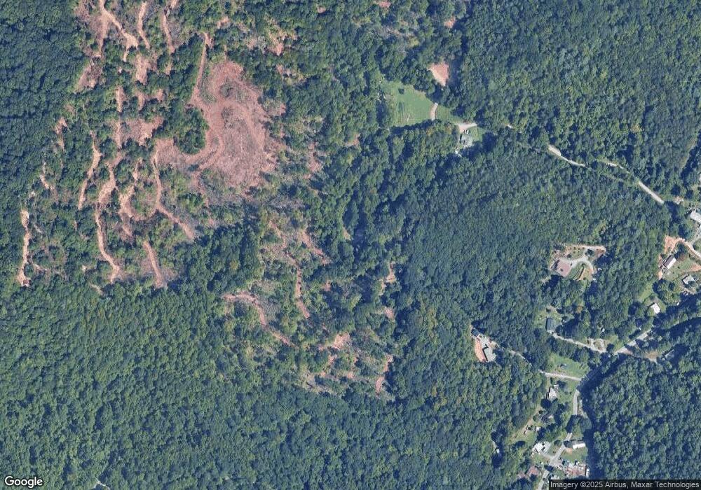
66 Freedom Farm Rd Leicester, NC 28748
Estimated Value: $327,000 - $444,854
3
Beds
2
Baths
1,248
Sq Ft
$295/Sq Ft
Est. Value
About This Home
This home is located at 66 Freedom Farm Rd, Leicester, NC 28748 and is currently estimated at $368,464, approximately $295 per square foot. 66 Freedom Farm Rd is a home with nearby schools including Clyde A. Erwin High School, West Buncombe Elementary School, and Clyde A. Erwin Middle School.
Ownership History
Date
Name
Owned For
Owner Type
Purchase Details
Closed on
Jun 22, 2017
Sold by
Shelton Brandon J and Shelton Stacie R
Bought by
Ross Teddy Lee and Ross Donnie
Current Estimated Value
Home Financials for this Owner
Home Financials are based on the most recent Mortgage that was taken out on this home.
Original Mortgage
$143,000
Outstanding Balance
$117,620
Interest Rate
3.62%
Mortgage Type
Adjustable Rate Mortgage/ARM
Estimated Equity
$250,844
Purchase Details
Closed on
Dec 1, 2014
Sold by
Lane Loretta Jeanne and Ross Loretta Jeanne
Bought by
Shelton Brandon Jackson and Shelton Stacie Renee Ross
Home Financials for this Owner
Home Financials are based on the most recent Mortgage that was taken out on this home.
Original Mortgage
$135,500
Interest Rate
4.5%
Mortgage Type
Adjustable Rate Mortgage/ARM
Create a Home Valuation Report for This Property
The Home Valuation Report is an in-depth analysis detailing your home's value as well as a comparison with similar homes in the area
Home Values in the Area
Average Home Value in this Area
Purchase History
| Date | Buyer | Sale Price | Title Company |
|---|---|---|---|
| Ross Teddy Lee | $179,000 | None Available | |
| Shelton Brandon Jackson | $136,000 | None Available |
Source: Public Records
Mortgage History
| Date | Status | Borrower | Loan Amount |
|---|---|---|---|
| Open | Ross Teddy Lee | $143,000 | |
| Previous Owner | Shelton Brandon Jackson | $135,500 |
Source: Public Records
Tax History Compared to Growth
Tax History
| Year | Tax Paid | Tax Assessment Tax Assessment Total Assessment is a certain percentage of the fair market value that is determined by local assessors to be the total taxable value of land and additions on the property. | Land | Improvement |
|---|---|---|---|---|
| 2025 | $1,688 | $258,700 | $76,700 | $182,000 |
| 2024 | $1,688 | $258,700 | $91,700 | $167,000 |
| 2023 | $1,688 | $258,700 | $91,700 | $167,000 |
| 2022 | $1,612 | $258,700 | $91,700 | $167,000 |
| 2021 | $1,612 | $258,700 | $0 | $0 |
| 2020 | $1,244 | $185,900 | $0 | $0 |
| 2019 | $1,244 | $185,900 | $0 | $0 |
| 2018 | $1,225 | $185,900 | $0 | $0 |
| 2017 | $1,225 | $164,200 | $0 | $0 |
| 2016 | $1,189 | $164,200 | $0 | $0 |
| 2015 | $1,189 | $164,200 | $0 | $0 |
Source: Public Records
Map
Nearby Homes
- 11 Farm Cove Ln
- 127 View Ridge Pkwy
- 25 View Ridge Pkwy
- 24 Mink Farm Rd
- 171 View Ridge Pkwy
- 185 Blossom Ridge
- 351 Dix Creek #2 Rd
- 85 Balsamwood Rd
- 19 Mossy Rock Ln Unit 76
- 4 Tremorra Trail Unit 17
- 342 Hookers Gap Rd
- 000 Destiny Farms Dr
- 99999 High Top Mountain Rd
- 3 Crabapple Ln
- 20 Slate Dr
- 10 Slate Dr
- 605 Newfound Rd
- 68 Bamboo Trail
- 99999 Morning Star Dr Unit Lot 13
- 5 Rustic Ridge Dr
- 62 Freedom Farm Rd
- 157 Mink Farm Rd
- 159 Mink Farm Rd
- 178 Mink Farm Rd
- 12 Freedom Farm Rd
- 9 Freedom Farm Rd
- 0 Mountain Holly Dr
- 74 Mountain Holly Dr Unit 74
- 78 Mountain Holly Dr
- 64 Mountain Holly Dr
- 64 Mountain Holly Dr Unit 71
- 125 Mink Farm Rd
- 88 Mountain Holly Dr
- 99999 Destiny Farms Dr Unit 2
- Lot 57 Phase II 5 Mountain Holly Dr Unit 57
- 57 Mountain Holly Dr Unit 52
- 115 Mink Farm Rd
- 70 Mountain Magnolia Dr Unit 50
- 23 Carr Dr
- 152 Mink Farm Rd
