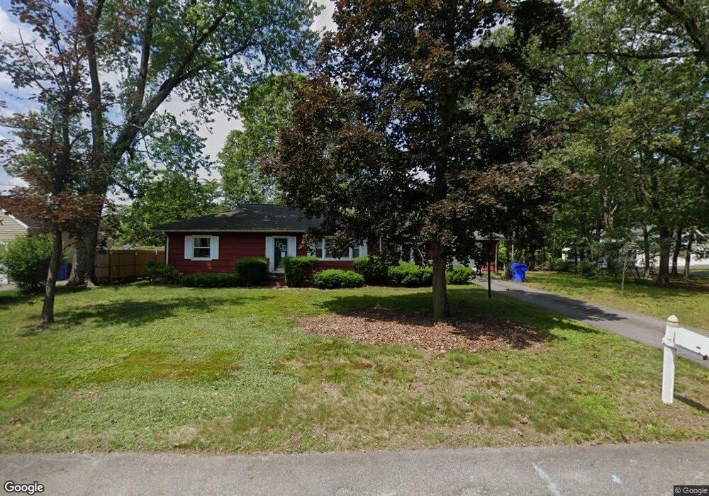
66 Glenvale St Springfield, MA 01119
Sixteen Acres NeighborhoodEstimated Value: $314,930 - $370,000
2
Beds
1
Bath
1,040
Sq Ft
$318/Sq Ft
Est. Value
About This Home
This home is located at 66 Glenvale St, Springfield, MA 01119 and is currently estimated at $330,733, approximately $318 per square foot. 66 Glenvale St is a home located in Hampden County with nearby schools including Frank H. Freedman School, John J Duggan Middle, and Springfield High School of Science and Technology.
Ownership History
Date
Name
Owned For
Owner Type
Purchase Details
Closed on
Apr 21, 2011
Sold by
Guthrie Carole
Bought by
Springfield City Of
Current Estimated Value
Purchase Details
Closed on
Feb 14, 2011
Sold by
Guthrie Carole
Bought by
Springfield City Of
Purchase Details
Closed on
Sep 11, 2007
Sold by
Dusty Corp
Bought by
Guthrie Carole
Purchase Details
Closed on
Jun 12, 2007
Sold by
Smith George and Giles Lillian
Bought by
Dusty Corp
Create a Home Valuation Report for This Property
The Home Valuation Report is an in-depth analysis detailing your home's value as well as a comparison with similar homes in the area
Home Values in the Area
Average Home Value in this Area
Purchase History
| Date | Buyer | Sale Price | Title Company |
|---|---|---|---|
| Springfield City Of | -- | -- | |
| Springfield City Of | $569 | -- | |
| Guthrie Carole | $175,000 | -- | |
| Dusty Corp | $39,691 | -- |
Source: Public Records
Tax History
| Year | Tax Paid | Tax Assessment Tax Assessment Total Assessment is a certain percentage of the fair market value that is determined by local assessors to be the total taxable value of land and additions on the property. | Land | Improvement |
|---|---|---|---|---|
| 2025 | $4,016 | $256,100 | $52,400 | $203,700 |
| 2024 | $3,935 | $245,000 | $52,400 | $192,600 |
| 2023 | $3,367 | $197,500 | $49,900 | $147,600 |
| 2022 | $3,329 | $176,900 | $49,900 | $127,000 |
| 2021 | $3,128 | $165,500 | $45,300 | $120,200 |
| 2020 | $3,215 | $164,600 | $45,300 | $119,300 |
| 2019 | $3,060 | $155,500 | $45,300 | $110,200 |
| 2018 | $2,832 | $143,900 | $45,300 | $98,600 |
| 2017 | $2,650 | $134,800 | $42,100 | $92,700 |
| 2016 | $2,577 | $131,100 | $42,100 | $89,000 |
| 2015 | $2,457 | $124,900 | $42,100 | $82,800 |
Source: Public Records
Map
Nearby Homes
- 73 Timber Ln
- 108 Birchland Ave
- 74 Valley Rd
- 86 Wildwood Ave
- 81 W Crystal Brook Dr
- 120 Bridle Path Rd
- 46 Puritan Cir
- 30 W Hill Rd
- 101 Regal St
- 37 Chesterfield Ave
- 24 Wands St
- 85 Talmadge Dr
- 86 Talmadge Dr
- 231 Dayton St
- Lot 37 Kane St
- 55 Allen St
- 944 Wilbraham Rd
- 63 Lawton St
- 106-108 Breckwood Cir
- 384 Abbott St
- 56 Glenvale St
- 65 Greenlawn St
- 55 Greenlawn St
- 65 Glenvale St
- 48 Glenvale St
- 55 Glenvale St
- 47 Greenlawn St
- 47 Glenvale St
- 38 Glenvale St
- 66 Greenlawn St
- 39 Greenlawn St
- 58 Greenlawn St
- 37 Glenvale St
- 48 Greenlawn St
- 30 Glenvale St
- 29 Greenlawn St
- 40 Greenlawn St
- 29 Glenvale St
- 315 Evergreen Rd
- 325 Evergreen Rd
Your Personal Tour Guide
Ask me questions while you tour the home.