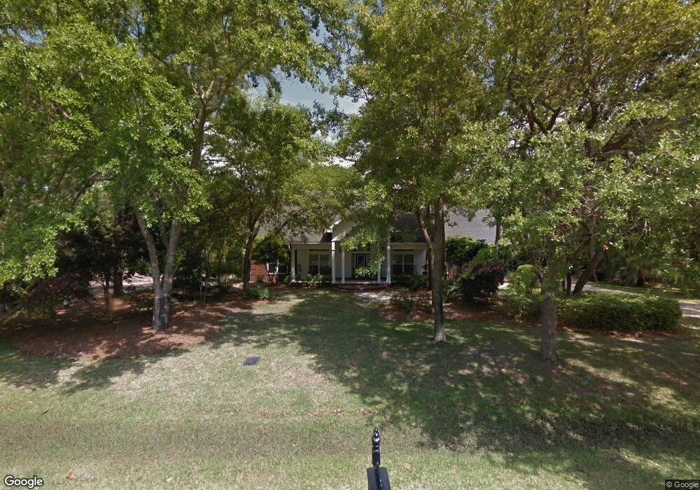
66 Harbour Trace Freeport, FL 32439
Estimated Value: $329,000
Studio
--
Bath
--
Sq Ft
40,075
Sq Ft Lot
About This Home
This home is located at 66 Harbour Trace, Freeport, FL 32439 and is currently estimated at $329,000. 66 Harbour Trace is a home located in Walton County with nearby schools including Freeport Elementary School, Freeport Middle School, and Freeport Senior High School.
Ownership History
Date
Name
Owned For
Owner Type
Purchase Details
Closed on
Jan 31, 2022
Sold by
Omar Alnuman
Bought by
Alnuman Properties Llc
Current Estimated Value
Purchase Details
Closed on
Mar 4, 2020
Sold by
Montelongo Roberto Daled De Anda
Bought by
Alnuman Omar
Purchase Details
Closed on
Mar 4, 2016
Sold by
Wheeler Jonathan D and Wheeler Marilyn M
Bought by
Deanda Montelongo Roberto Daled
Home Financials for this Owner
Home Financials are based on the most recent Mortgage that was taken out on this home.
Original Mortgage
$22,500
Interest Rate
3.56%
Mortgage Type
New Conventional
Create a Home Valuation Report for This Property
The Home Valuation Report is an in-depth analysis detailing your home's value as well as a comparison with similar homes in the area
Home Values in the Area
Average Home Value in this Area
Purchase History
| Date | Buyer | Sale Price | Title Company |
|---|---|---|---|
| Alnuman Properties Llc | -- | None Listed On Document | |
| Alnuman Omar | $25,000 | First Natl Land Ttl Co Inc | |
| Deanda Montelongo Roberto Daled | $25,000 | Reli Title Llc |
Source: Public Records
Mortgage History
| Date | Status | Borrower | Loan Amount |
|---|---|---|---|
| Previous Owner | Deanda Montelongo Roberto Daled | $22,500 |
Source: Public Records
Tax History
| Year | Tax Paid | Tax Assessment Tax Assessment Total Assessment is a certain percentage of the fair market value that is determined by local assessors to be the total taxable value of land and additions on the property. | Land | Improvement |
|---|---|---|---|---|
| 2025 | $832 | $110,000 | $110,000 | -- |
| 2024 | $690 | $82,903 | $82,903 | -- |
| 2023 | $690 | $82,903 | $82,903 | $0 |
| 2022 | $632 | $92,022 | $92,022 | $0 |
| 2021 | $448 | $50,067 | $50,067 | $0 |
| 2020 | $315 | $36,850 | $36,850 | $0 |
| 2019 | $258 | $28,051 | $28,051 | $0 |
| 2018 | $254 | $27,501 | $0 | $0 |
| 2017 | $247 | $26,700 | $0 | $0 |
| 2016 | $227 | $24,225 | $0 | $0 |
| 2015 | $231 | $24,225 | $0 | $0 |
| 2014 | $234 | $24,225 | $0 | $0 |
Source: Public Records
Map
Nearby Homes
- LOT 77 Harbour Trace
- Lot 59 N Sunset
- Lot 45 S Sunset Harbour
- Lot 76 Harbour Trace
- 19 Bay Harbor Blvd
- Lot 108 Bay Harbor Blvd
- 893 Bay Harbor Blvd
- 36 Creek Harbour
- LOT 114 Oak
- Lot 90 W Perseverance Point
- Lot 103 Perseverance Point
- 158 Clermont Cove
- 59 W Perseverance Point
- 755 Watson Rd
- 49 W Perseverance Point
- 39 W Perseverance Point
- 25 W Perseverance Point
- 123 W Captain Fritz Way
- Lot 25 W Captain Fritz Way
- 14 Cozy Cove
- LOT 66 Harbour Trace
- Lots 67&69 Harbour Trace
- 64 Harbour Trace E
- Lot 69 Harbour Trace
- lot 31 N Sunset Harbour
- Lot 59 N Sunset Harbour
- Lot 35 N Sunset Harbour
- Lot 63 N Sunset Harbour
- LOT #37 N Sunset Harbour
- Lot 71 Harbour Trace
- 21 N Sunset Harbour
- Lot 62 N Sunset Harbour
- 49 N Sunset Harbour
- Lot 38 S Sunset Harbour
- 9 N Sunset Harbor
- Lot 32 N Sunset Harbour
- Lot 8 Bay Harbour Blvd
- LOT 60 N Sunset Harbour
- Lot 60 N Sunset N
- 87 N Sunset Harbour
Your Personal Tour Guide
Ask me questions while you tour the home.