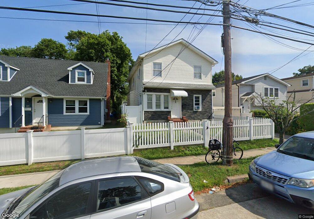
66 Independence Ave Freeport, NY 11520
Estimated Value: $590,000 - $687,512
5
Beds
2
Baths
1,905
Sq Ft
$335/Sq Ft
Est. Value
About This Home
This home is located at 66 Independence Ave, Freeport, NY 11520 and is currently estimated at $638,756, approximately $335 per square foot. 66 Independence Ave is a home located in Nassau County with nearby schools including Caroline G. Atkinson Intermediate School, Columbus Avenue School, and John W Dodd Middle School.
Ownership History
Date
Name
Owned For
Owner Type
Purchase Details
Closed on
Feb 24, 2017
Sold by
Lattimer Calvin and Lattimer Helen P
Bought by
Cabrera Nelson M Vintimilla
Current Estimated Value
Home Financials for this Owner
Home Financials are based on the most recent Mortgage that was taken out on this home.
Original Mortgage
$322,050
Outstanding Balance
$267,209
Interest Rate
4.19%
Mortgage Type
New Conventional
Estimated Equity
$371,547
Create a Home Valuation Report for This Property
The Home Valuation Report is an in-depth analysis detailing your home's value as well as a comparison with similar homes in the area
Home Values in the Area
Average Home Value in this Area
Purchase History
| Date | Buyer | Sale Price | Title Company |
|---|---|---|---|
| Cabrera Nelson M Vintimilla | $339,000 | Judicial Title |
Source: Public Records
Mortgage History
| Date | Status | Borrower | Loan Amount |
|---|---|---|---|
| Open | Cabrera Nelson M Vintimilla | $322,050 |
Source: Public Records
Tax History Compared to Growth
Tax History
| Year | Tax Paid | Tax Assessment Tax Assessment Total Assessment is a certain percentage of the fair market value that is determined by local assessors to be the total taxable value of land and additions on the property. | Land | Improvement |
|---|---|---|---|---|
| 2025 | $8,366 | $388 | $114 | $274 |
| 2024 | $848 | $388 | $114 | $274 |
| 2023 | $8,117 | $388 | $114 | $274 |
| 2022 | $8,117 | $388 | $114 | $274 |
| 2021 | $11,750 | $394 | $116 | $278 |
| 2020 | $8,642 | $540 | $265 | $275 |
| 2019 | $7,947 | $709 | $348 | $361 |
| 2018 | $10,266 | $706 | $0 | $0 |
| 2017 | $7,096 | $706 | $348 | $358 |
| 2016 | $8,156 | $706 | $348 | $358 |
| 2015 | $1,020 | $706 | $348 | $358 |
| 2014 | $1,020 | $706 | $348 | $358 |
| 2013 | $964 | $706 | $348 | $358 |
Source: Public Records
Map
Nearby Homes
- 92 Leonard Ave
- 112 E Seaman Ave
- 101 Harris Ave
- 110 Woodside Ave
- 259 N Columbus Ave
- 93 Woodside Ave
- 272 N Columbus Ave
- 173 E Seaman Ave
- 67 E Dean St
- 18 Evans Ave
- 222 N Ocean Ave
- 400 N Columbus Ave
- 54 Westfield Ave
- 238 Babylon Turnpike
- 45 Dehnhoff Ave
- 28 Cumberland Ave
- 451 Babylon Turnpike
- 221 E Dean St
- 182 Grand Ave
- 19 Bennett Ave
- 68 Independence Ave
- 69 Independence Ave
- 89 Independence Ave
- 73 Independence Ave
- 72 Independence Ave
- 70 Stevens St
- 66 Stevens St
- 50 Independence Ave
- 72 Stevens St
- 84 Independence Ave
- 70 Independence Ave
- 74 Independence Ave
- 86 Independence Ave
- 74 Stevens St
- 60 Stevens St
- 46 Independence Ave
- 76 Stevens St
- 76 Independence Ave
- 47 Independence Ave
- 20 Hope Place