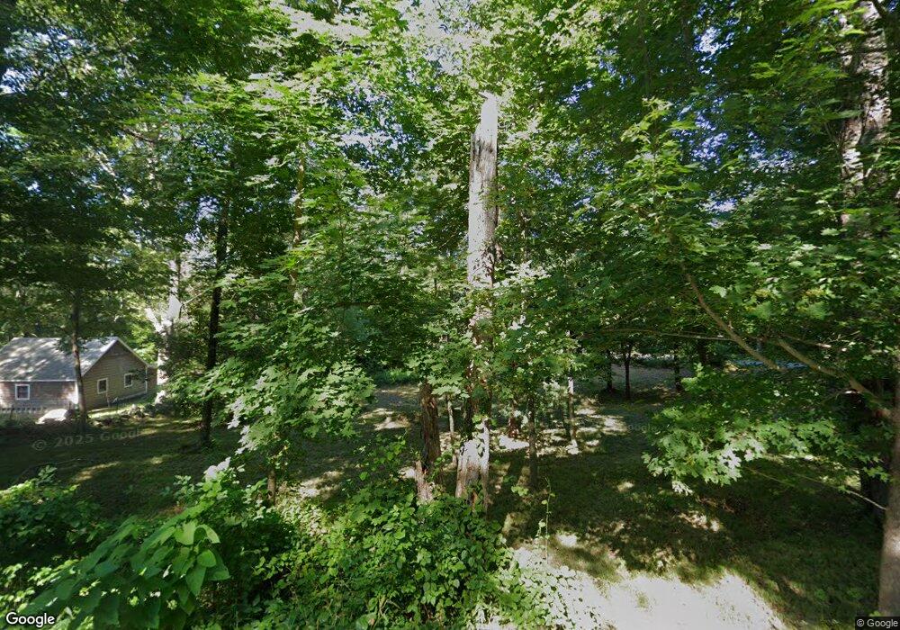
66 Lewiston Ave West Kingston, RI 02892
Estimated Value: $591,000 - $773,000
3
Beds
2
Baths
2,040
Sq Ft
$326/Sq Ft
Est. Value
About This Home
This home is located at 66 Lewiston Ave, West Kingston, RI 02892 and is currently estimated at $665,812, approximately $326 per square foot. 66 Lewiston Ave is a home located in Washington County with nearby schools including Chariho Regional Middle School, Chariho High School, and Meadowbrook Waldorf School.
Ownership History
Date
Name
Owned For
Owner Type
Purchase Details
Closed on
Mar 10, 1998
Sold by
Garnett Stephen
Bought by
Monteforte Michael and Monteforte Britt
Current Estimated Value
Home Financials for this Owner
Home Financials are based on the most recent Mortgage that was taken out on this home.
Original Mortgage
$152,100
Outstanding Balance
$27,604
Interest Rate
6.93%
Estimated Equity
$638,208
Create a Home Valuation Report for This Property
The Home Valuation Report is an in-depth analysis detailing your home's value as well as a comparison with similar homes in the area
Home Values in the Area
Average Home Value in this Area
Purchase History
| Date | Buyer | Sale Price | Title Company |
|---|---|---|---|
| Monteforte Michael | $169,000 | -- |
Source: Public Records
Mortgage History
| Date | Status | Borrower | Loan Amount |
|---|---|---|---|
| Open | Monteforte Michael | $30,000 | |
| Open | Monteforte Michael | $152,100 |
Source: Public Records
Tax History Compared to Growth
Tax History
| Year | Tax Paid | Tax Assessment Tax Assessment Total Assessment is a certain percentage of the fair market value that is determined by local assessors to be the total taxable value of land and additions on the property. | Land | Improvement |
|---|---|---|---|---|
| 2024 | $7,042 | $480,000 | $146,200 | $333,800 |
| 2023 | $7,085 | $480,000 | $146,200 | $333,800 |
| 2022 | $7,304 | $354,900 | $125,100 | $229,800 |
| 2021 | $7,318 | $354,900 | $125,100 | $229,800 |
| 2020 | $7,233 | $354,900 | $125,100 | $229,800 |
| 2019 | $6,636 | $303,300 | $120,100 | $183,200 |
| 2018 | $6,478 | $303,300 | $120,100 | $183,200 |
| 2017 | $6,309 | $303,300 | $120,100 | $183,200 |
| 2016 | $5,746 | $266,400 | $115,100 | $151,300 |
| 2015 | $5,616 | $266,400 | $115,100 | $151,300 |
| 2014 | $5,578 | $266,400 | $115,100 | $151,300 |
Source: Public Records
Map
Nearby Homes
- 120 Columbia Heights Rd Unit 1
- 157 Biscuit City Rd
- 35 Red Maple Dr
- 0 Carolina Back Rd
- 106 Lauri Dr
- 260 Richmond Townhouse Rd
- 5 Woodmansee Ct
- 0 Pasquisett Trail
- 17 Pasquiset Trail
- 26 Old Richmond Townhouse Rd
- 1035 Liberty Ln
- 108 Little Pond Rd
- 115 Holiday Ct
- 500 Kingstown Rd Unit 3B
- 165 Little Pond Rd
- 12 Comfort Ln
- 355 Leisure Dr
- 3 Foxtrot Dr
- 5 Turtle Trail
- 22 Fescue Ln
- 72 Lewiston Ave
- 62 Lewiston Ave
- 61 Lewiston Ave
- 58 Lewiston Ave
- 59 Lewiston Ave
- 76 Lewiston Ave
- 54 Lewiston Ave
- 53 Lewiston Ave
- 51 Lewiston Ave
- 75 Lewiston Ave
- 80 Lewiston Ave
- 48 Lewiston Ave
- 63 Lewiston Ave
- 84 Lewiston Ave
- 42 Lewiston Ave
- 88 Lewiston Ave
- 92 Lewiston Ave
- 93 Lewiston Ave
- 87 Lewiston Ave
- 31 Lewiston Ave